Archives
You are currently viewing archive for April 201230 April 2012
22 April 2012
Kruger Rock Hike
The Kruger Rock trailhead is in Hermit Park, just south of Estes Park (Colorado). The Hermit Park open space area was established in 2008, but we hadn't yet checked it out. We have been curious about Hermit Park, as you can hike (or bike) from Lion Gulch (one of our favorite hikes) through Homestead Meadows to Hermit Park, and make it a one-way hike by taking two cars and parking one car at the end of the hike. Then a friend told us that the Kruger Rock hike affords a fantastic 360-degree view of the peaks in Rocky Mountain National Park. So, we headed off last Friday to check it out.
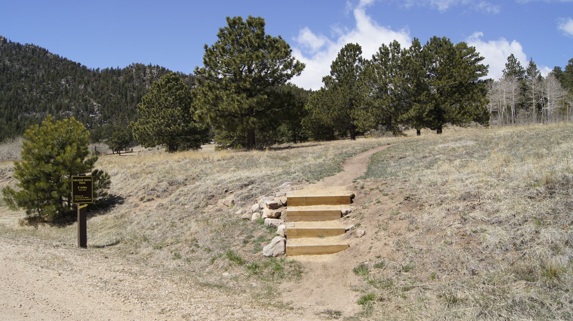
The hike is only 2 miles each way, but there is a pretty good elevation change. By my GPS, it was 900 feet bottom-to-top elevation change, but about 1200 feet walking elevation change because the trail goes up and down a few times. A couple stretches were very steep — a few good switchbacks would have been nice! The trail was mostly smooth, with very few hard and rocky steps to navigate.
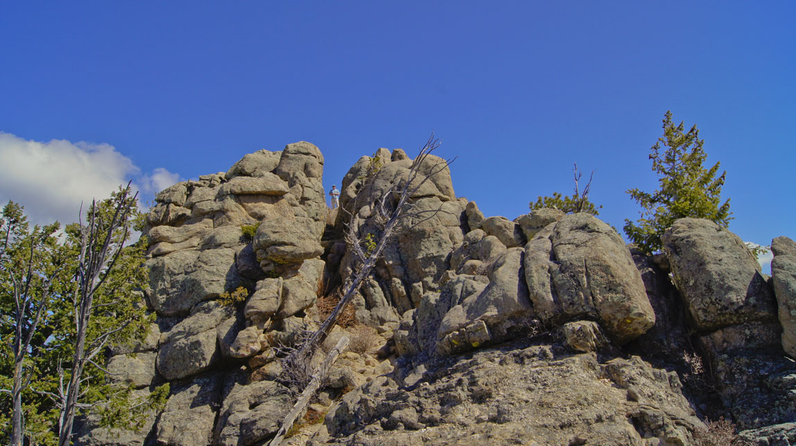
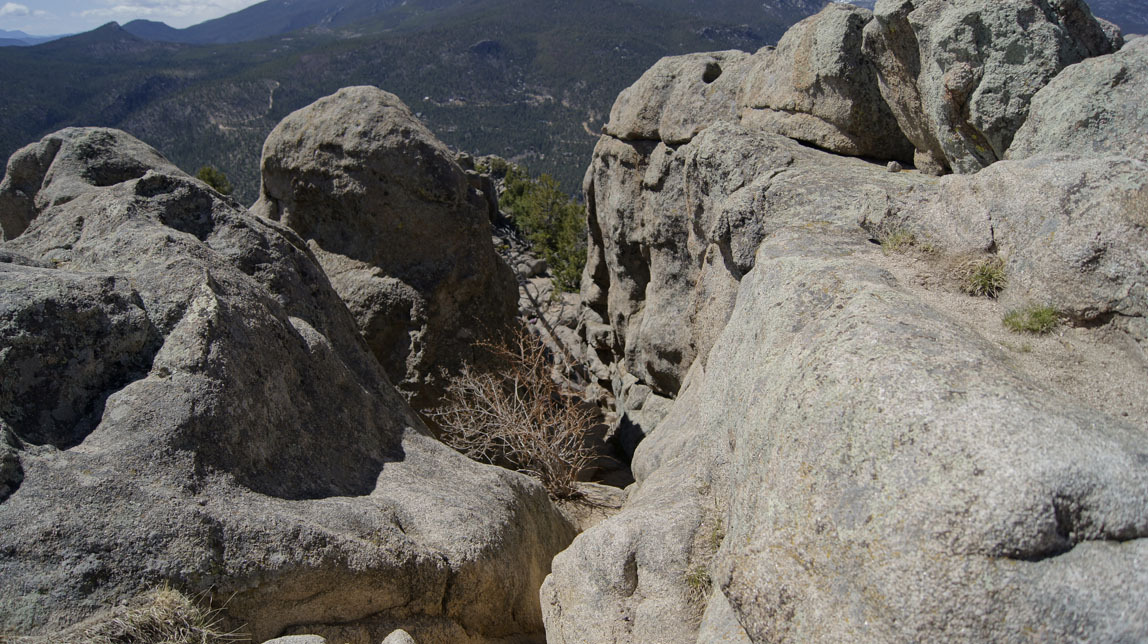
We got almost to the top and I sat down. To get to the very top, you had to scramble up through a notch in the rocks. Well, I don't like heights, so I said to John "you go on up, I'll wait here". He got up there and yelled down that I just HAD to come on up, that the view was fantastic and it wasn't scary. (You can see him in the "notch" in the photo below if you click on the photo to enlarge it.)
Alright, alright, I'll do it. I left my pack but took my camera.
Well . . . yes, the view was fantastic. Below is a series of panoramas, beginning looking west, then going clockwise towards north and so on back to west. You will see a few rocks in the foreground — if I were brave, I would have climbed on top of them to get better panoramas.


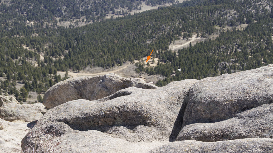
From the top, we could look down and see my car in the parking lot.
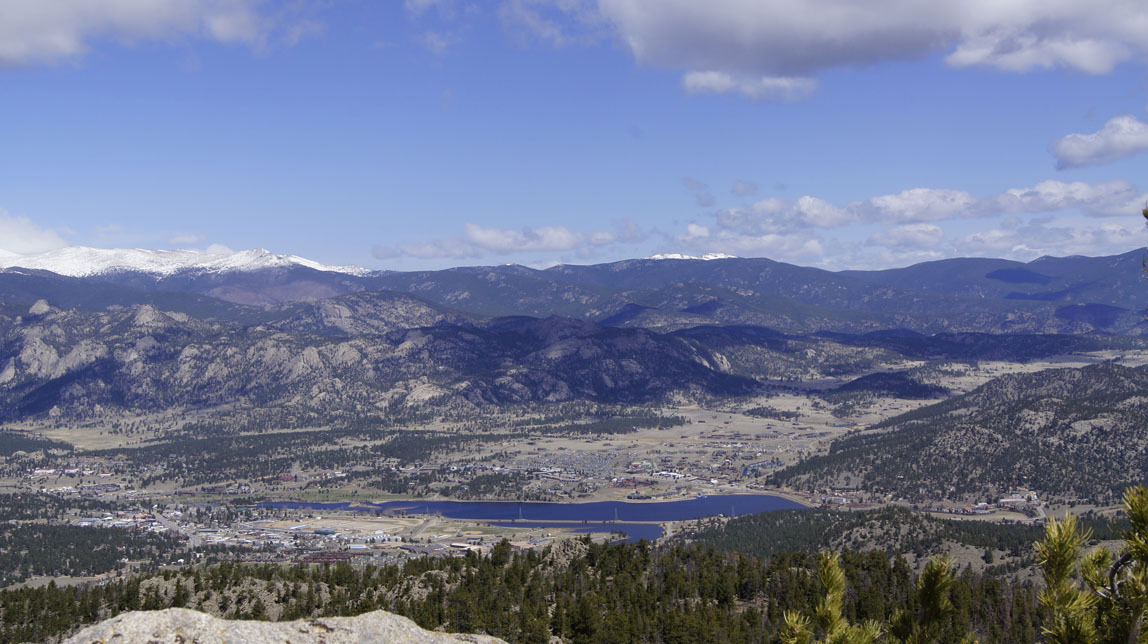
And you get a great view of Estes Park.
Time to head down the notch in the rocks.
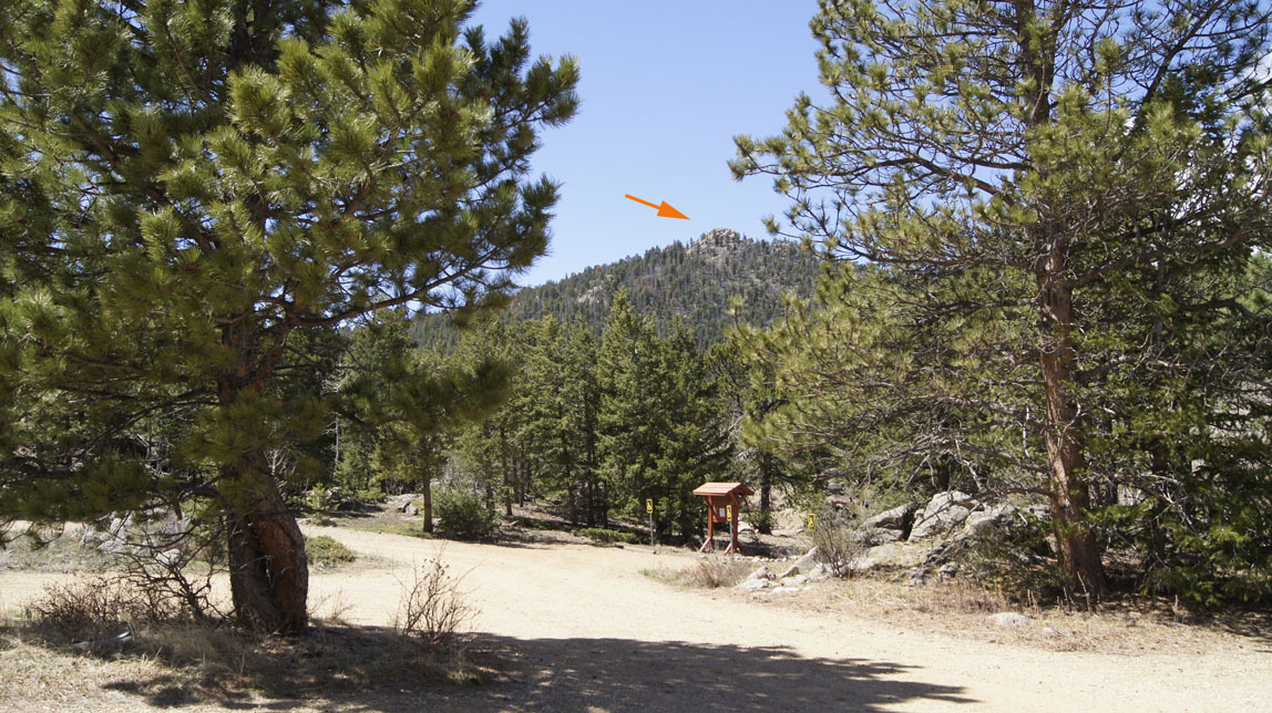
When we got back to the car, I took a photo of Kruger Rock. Pretty cool!

The hike is only 2 miles each way, but there is a pretty good elevation change. By my GPS, it was 900 feet bottom-to-top elevation change, but about 1200 feet walking elevation change because the trail goes up and down a few times. A couple stretches were very steep — a few good switchbacks would have been nice! The trail was mostly smooth, with very few hard and rocky steps to navigate.
We got almost to the top and I sat down. To get to the very top, you had to scramble up through a notch in the rocks. Well, I don't like heights, so I said to John "you go on up, I'll wait here". He got up there and yelled down that I just HAD to come on up, that the view was fantastic and it wasn't scary. (You can see him in the "notch" in the photo below if you click on the photo to enlarge it.)

Alright, alright, I'll do it. I left my pack but took my camera.
Well . . . yes, the view was fantastic. Below is a series of panoramas, beginning looking west, then going clockwise towards north and so on back to west. You will see a few rocks in the foreground — if I were brave, I would have climbed on top of them to get better panoramas.


From the top, we could look down and see my car in the parking lot.

And you get a great view of Estes Park.

Time to head down the notch in the rocks.

When we got back to the car, I took a photo of Kruger Rock. Pretty cool!

