Archives

You are currently viewing archive for August 2013

21 August 2013

June 10: The Asclepieum

It's just after 3 pm when we get to the Asclepieum, another part of the Pergamum historical area. It's in the valley below the Acropolis site, and noticeably cooler (although still hot).

The Sanctuary of Asclepius (the Asclepieum) was a place of healing. Asclepius is the god of healing in ancient Greek religion. Good online discussions of the Asclepieum are on Wikipedia, Turkish Odyssey, and Turkey Travel Planner.

Signs at the site tell us the history as we walk along, and I am going to copy some of their content here. (I had to make a few corrections, though, the English versions on the signs were usually fraught with [sometimes funny] grammatical errors.)

From the signs:

"According to myth the sanctuary was founded by Arkhias. He had injured his food [sic] while hunting in Greece and was healed in Epidauros, the most famous Asclepieion in Greece. Out of gratitude to the god he established the cult of Asclepios in his hometown of Pergamum."

"Finds from the excavations date back to prehistoric times and the cult may predate the 4th century BC. The sanctuary that we see today was mainly built under the rule of the Roman emperor Hadrian (117-138 AD). During the Roman era Pergamum gained a high reputation due to the healing methods and famous doctors like Galen (131-210 AD) at the Asclepieium."

At one time, the Asclepieum was connected to the city by a 1 kilometer long, partly covered Holy Street (Via Tecta). The final part of the way was a columned road during the reign of Roman Emperor Hadrian. This is what remains today:
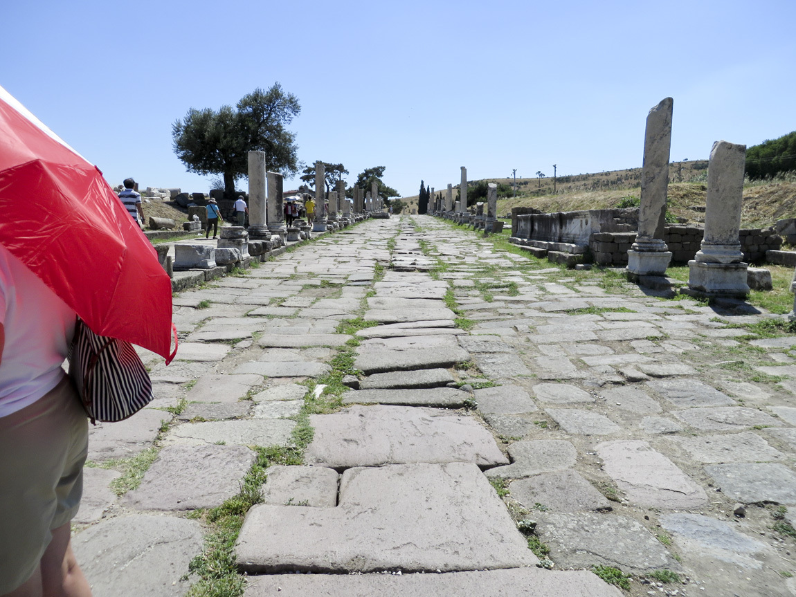
Via Tecta

New patients were met by the priests at a gateway and an initial judgement of their medical condition made. Those who were obviously dying were not let in, nor were pregnant women. Accepted patients were led into the sacred area: a temple, fountains, pools of water, and sleeping rooms. The water came from a spring, and was believed to have sacred healing powers. The spring water still runs today:
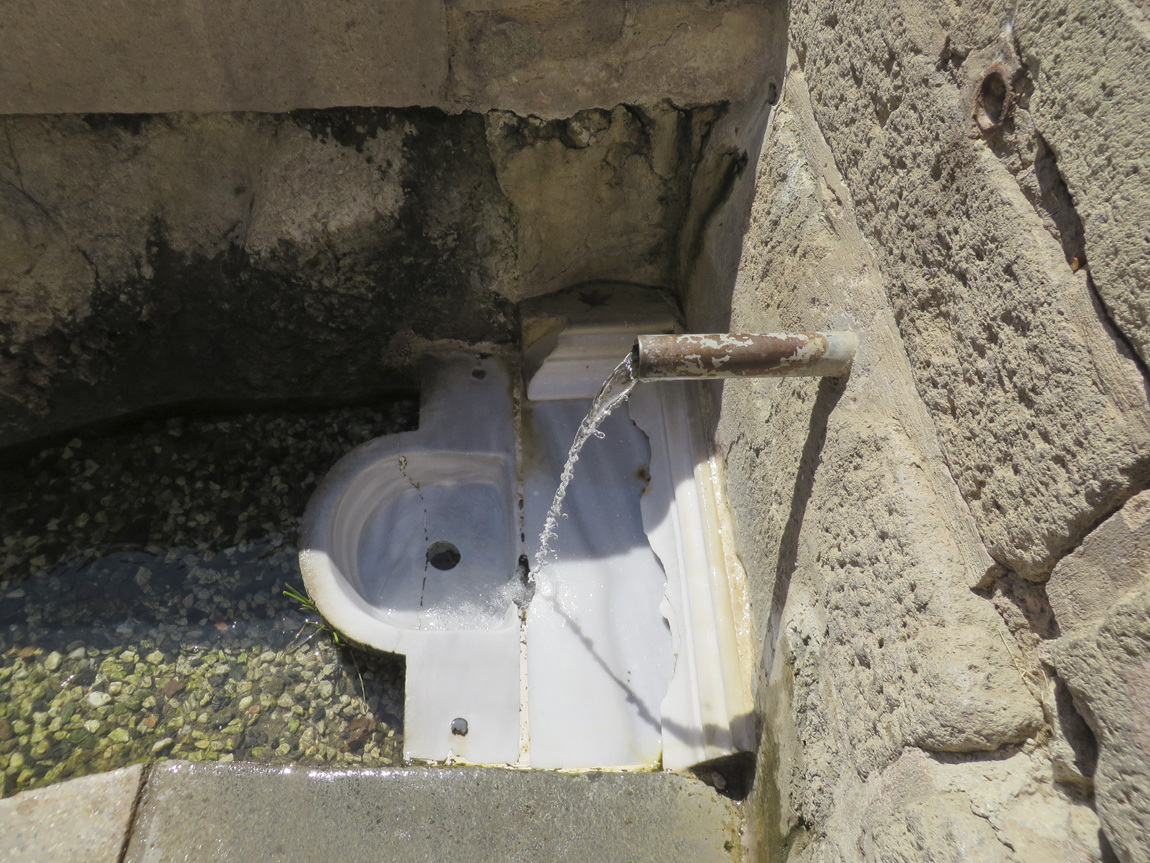
spring

The priests would ask patients about their dreams, as they believed that in the patients' dreams Asclepius would appear in a vision to tell them how to cure their illness.
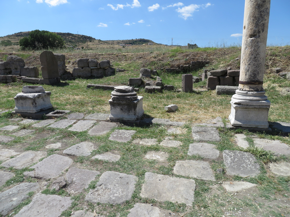
Asclepieum

Shops lined the columned road. These shops might have sold commodities that would help patients in their healing.
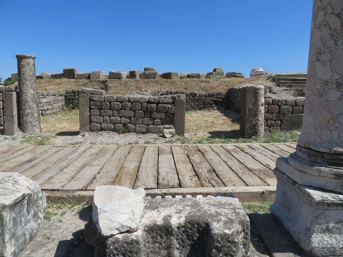
shops

Ruins of a temple to Asclepius:

temple ruins

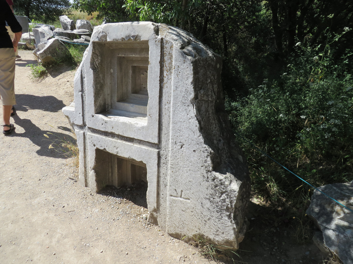
I was intrigued by the waterways that ran just underneath the ancient road. Stones were hollowed out to form a passageway for the water. Here is one of the old stones, set on its side:
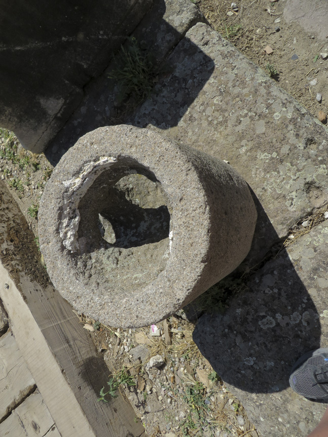
stone for water

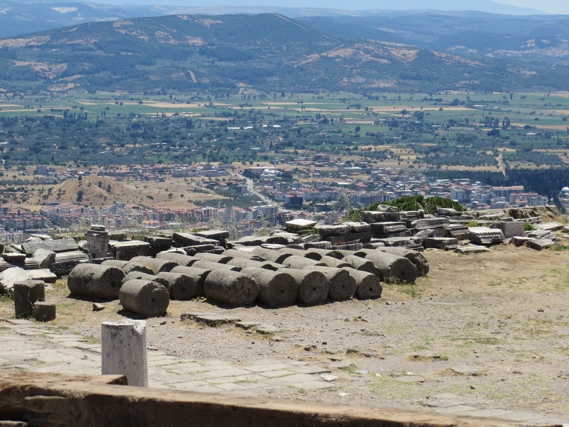
Sections of columns were stacked and reinforced with lead poured through holes drilled in each section. The lead then served as a rod to keep the column sections stacked. Over the years the lead was robbed from the column sections, leaving empty holes in the stones.
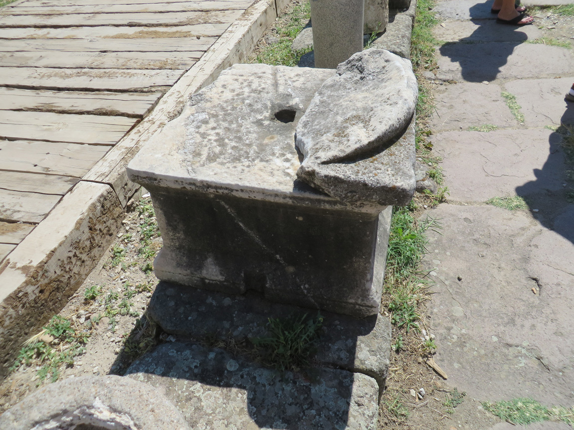
holes where lead was

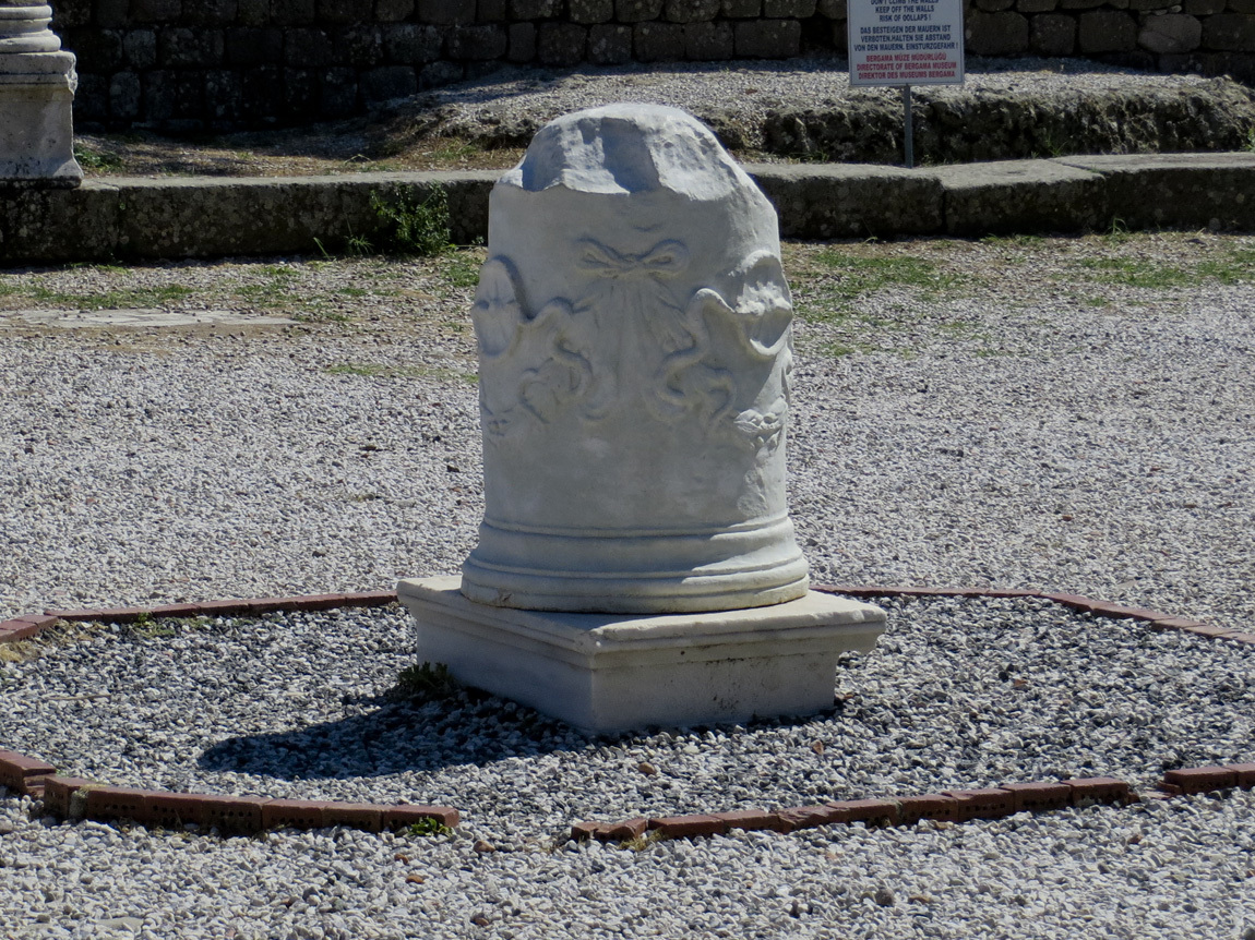
This marble column fragment bears Asclepion's symbol: two snakes facing each other across a wheel. As snakes shed their skins they are "reborn," and likewise the patients at the Asclepion were to shed their illnesses and regain health.
two snakes on marble column

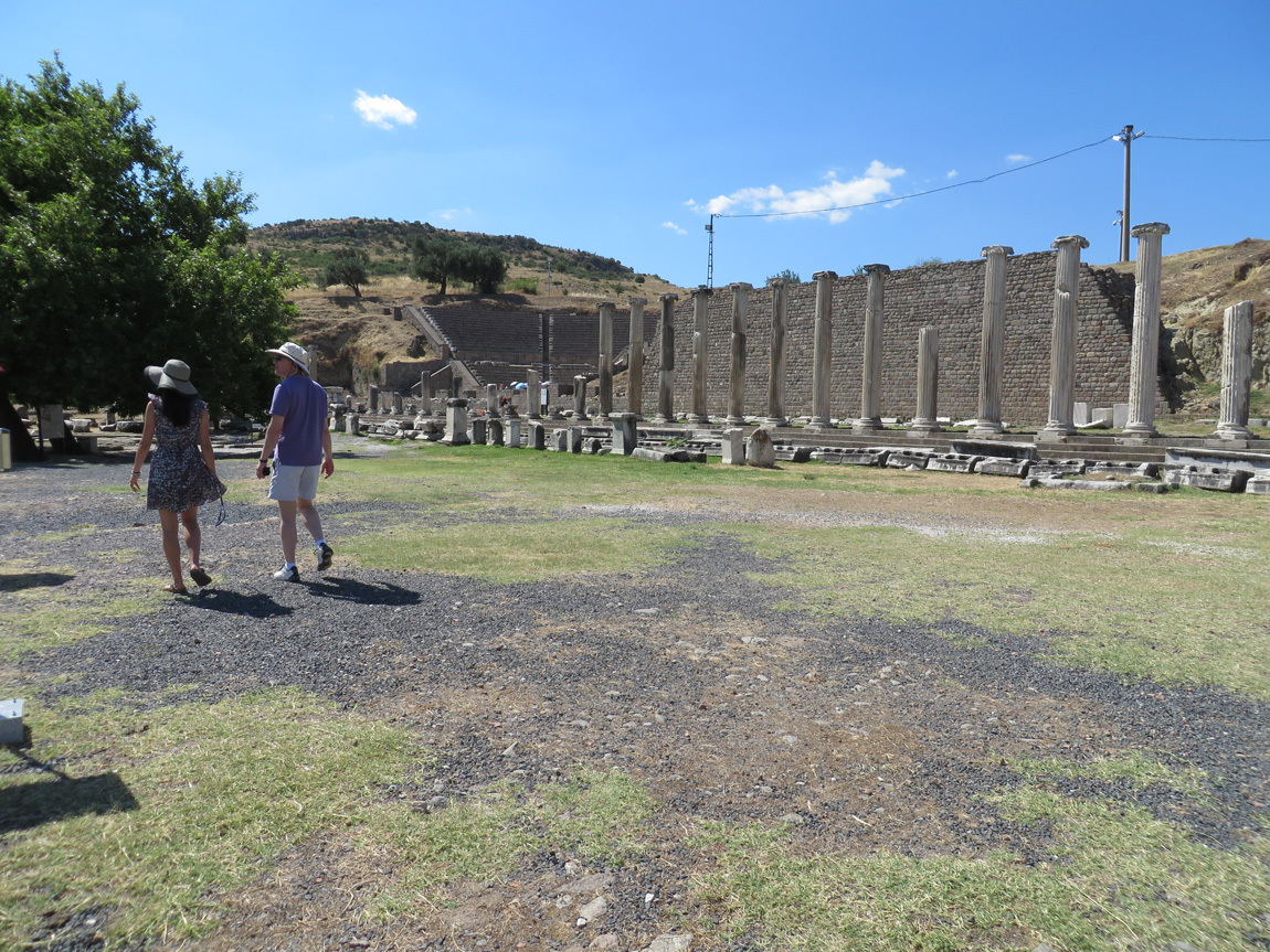
You can barely see an old theater in the back in this photo. It sat 3500 people and had sacred pools in front.
theater

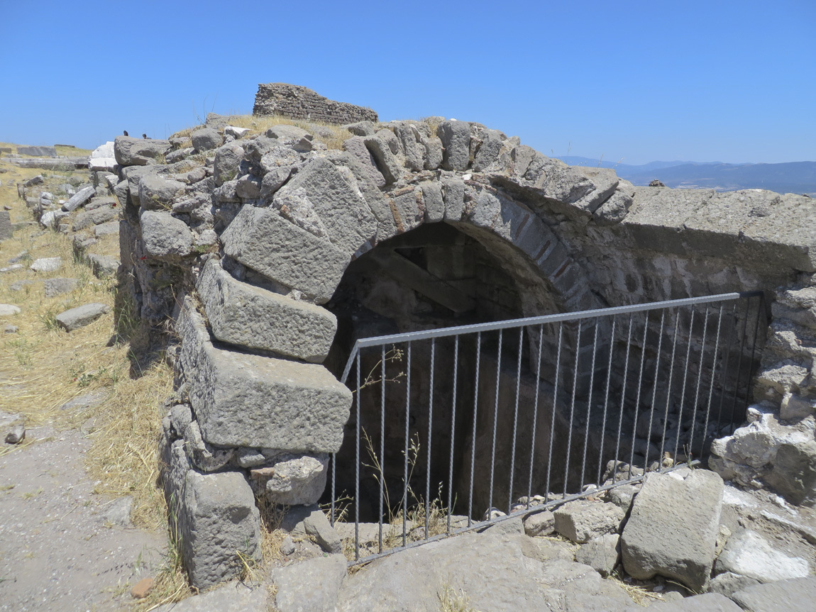
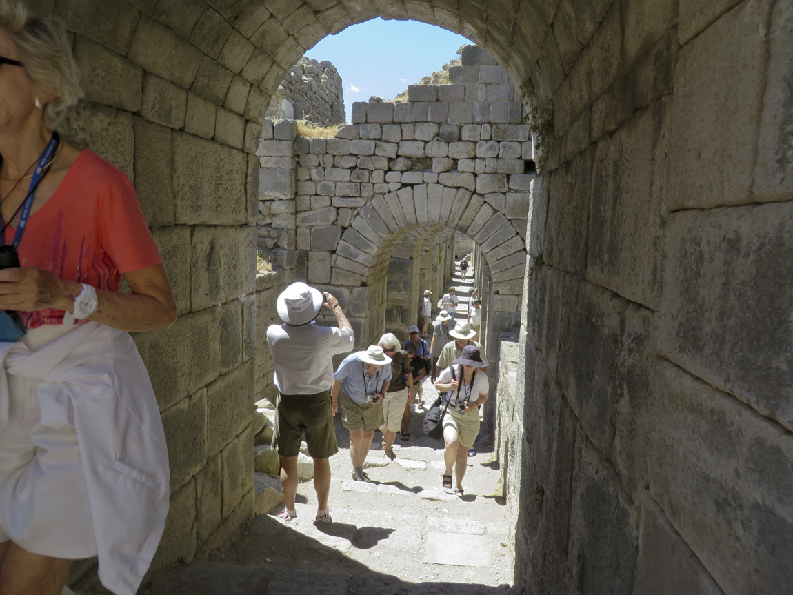
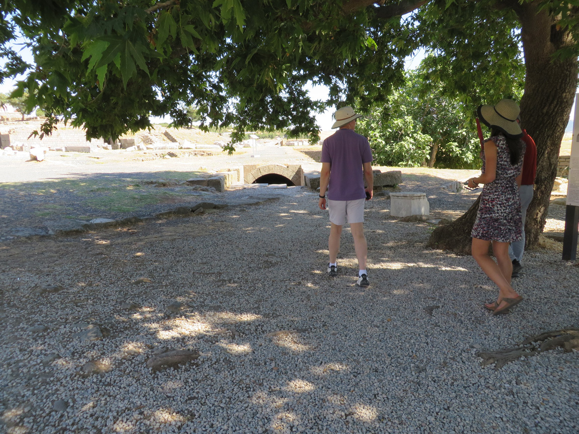
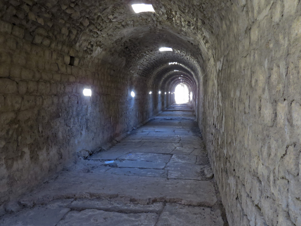
I really liked this next part of the Asclepieum. We came up to a half-buried tunnel:
coming up to tunnel

At one time this tunnel was completely buried, and that fact kept it intact. We walked through the arched, long room. This was the sleeping area of the old Asclepieum. It was cool and dim, such a nice change from the glaring sunlight outside. As we walked through it, we saw places where the sacred springs fed into it, and we saw remnants of marble that once lined the bottom. It was neat!
tunnel

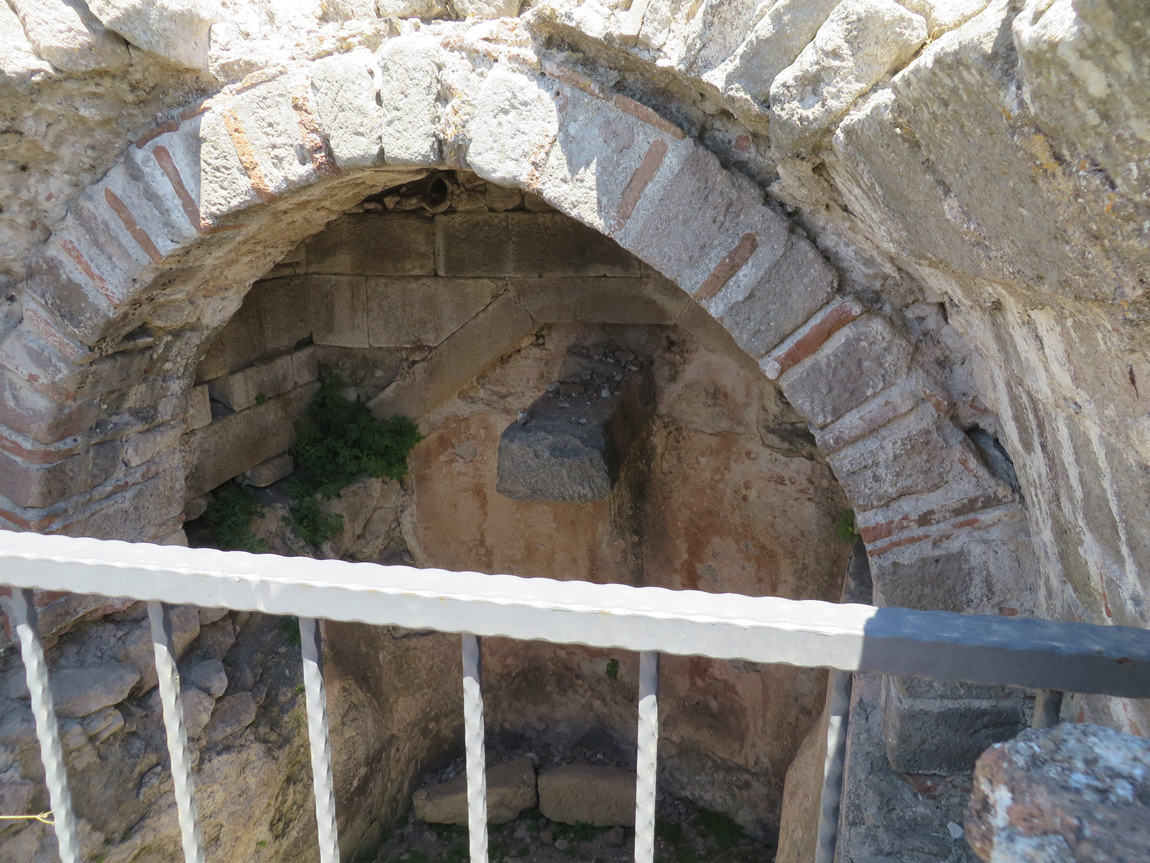
This view is taken from the other end:
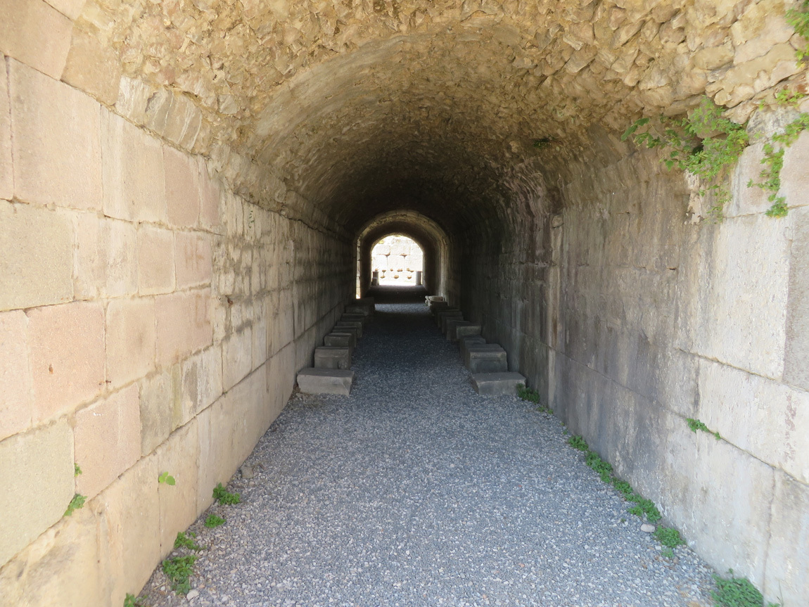
tunnel

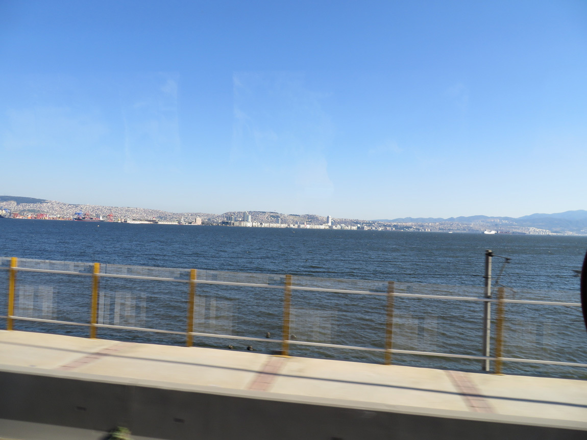
We left the Asclepieum around 4 pm and drove south to Izmir, about a 2 hour drive away. Here are some photos as we neared our hotel.
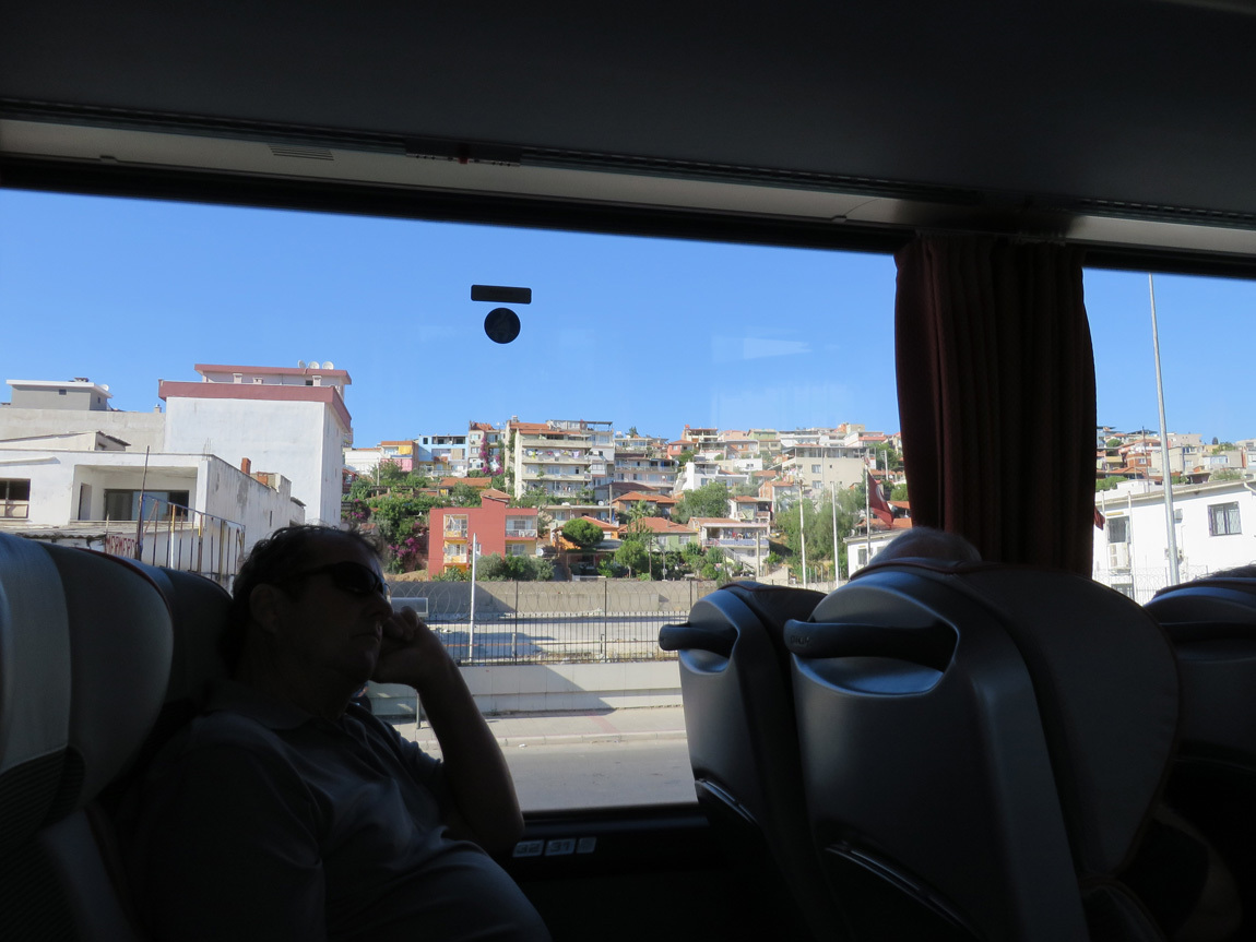
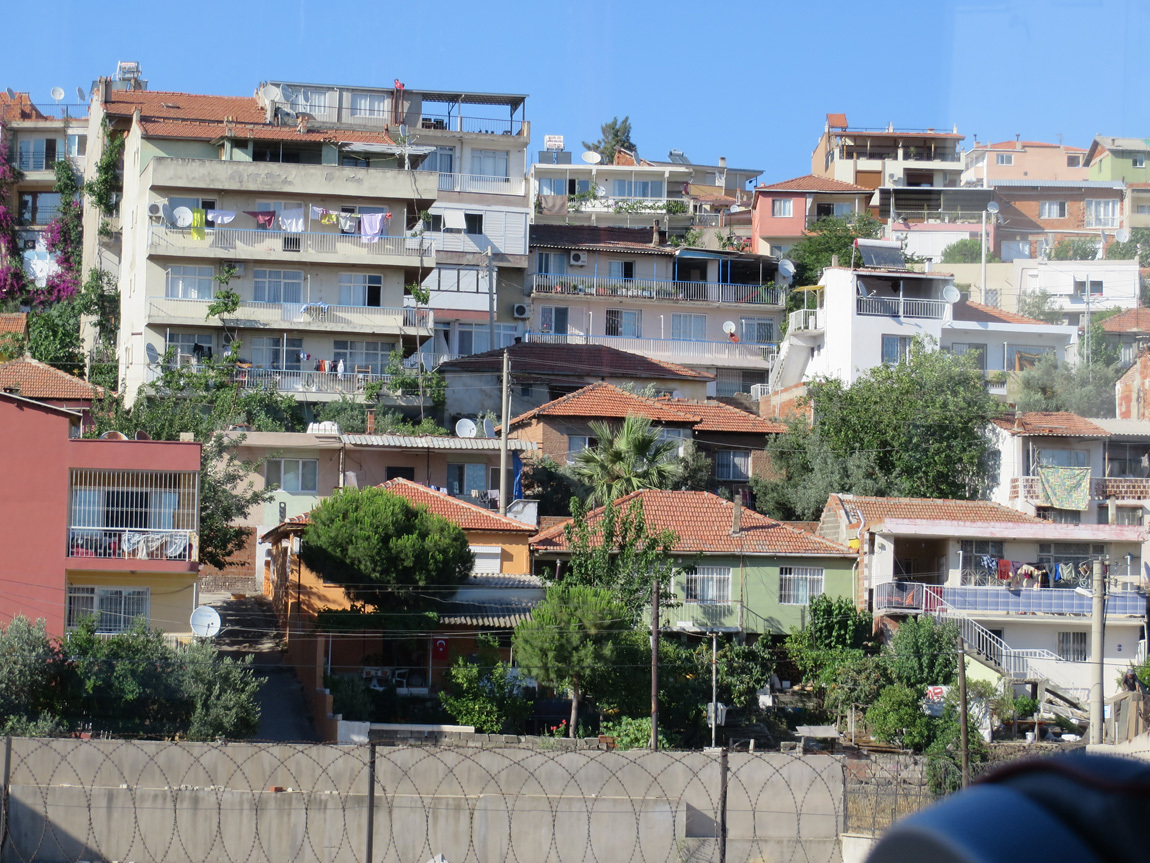
Ismir

Izmir

Izmir

Our hotel, the Swissotel Grand Efes, is right on the Aegean Sea. It's an ultra modern, sleek hotel with a crazy lighting system in each room. It had both indoor and outdoor swimming pools, too.

I wrote in my journal: "Fantastic dinner. Salad with cheese and corn, a blended and gently spiced lentil soup, lamb stew over smashed eggplant, and a 3-layer chocolate dessert." This was a group dinner, courtesy of Odysseys Unlimited.

We slept well that night in our cool, quiet room with a big bed.

Navigation:
first Turkey post
next Turkey post
15 August 2013

June 10: Pergamum

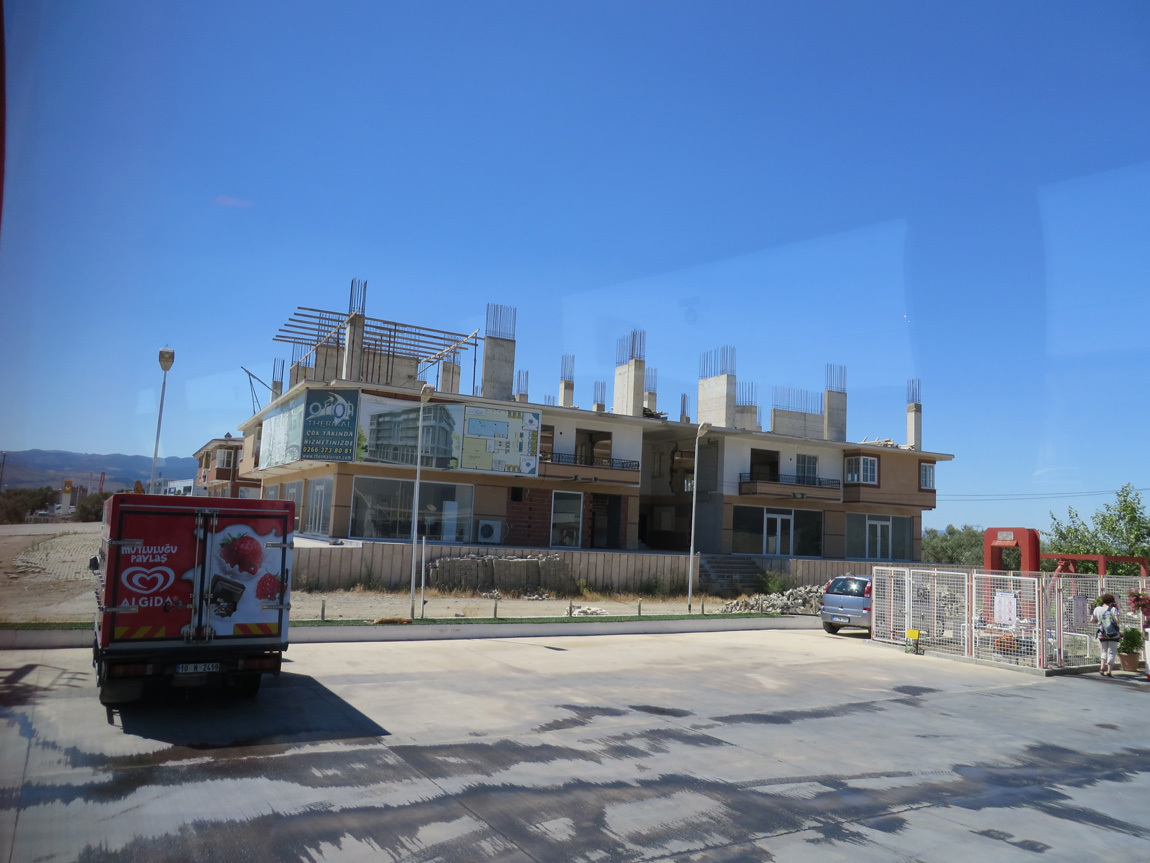
We leave Assos about 9 a.m. and spend the morning on the bus. The first part of the journey follows a scenic route, off the main highway and along the coast. The small homes near the sea look like nice places to live. Later on, as we turn inland, I noted in my journal that all the buildings are once again 2-4 stories and "blocky". Many buildings are new, quite a few are unoccupied, and many are unfinished, like this one:

unfinished building

Something seems amiss. Why all this new construction? I understand the Turkish economy is doing well, but maybe it's overextending. Just a comment: This is not my field of expertise.

We lunch at a cafeteria: good fresh salads and hot dishes and mini pizzas and kebabs and honey cakes and baklava. Ali surprises us by playing the baglama (and here) to accompany the guy who runs the cafeteria. Turns out, Ali used to be in a folk band. We enjoyed the performance!

In the afternoon we visit the ruins of the city of Pergamum. The site is at the top of a big hill near the present-day city of Bergama. Luckily there were cable cars to take tourists to the top. Not only was it steep, it was hot! (Again: who would build a city in such a hot place?)

Pergamum

Pergamum was a major city and cultural center during the Hellenistic Greek era. What was the "Hellenistic era"? That's the period from about 323-30 BC, after Alexander the Great conquered the Persian Empire - including the area that is now Turkey. Other centers of Hellenistic culture were Alexandria (Egypt) and Antioch (Turkey). The Greeks brought their culture, their gods, and urbanization to these areas of Asia Minor. They did not always mix with the local populations, but they definitely left their mark.

The Acropolis (hill-top fortified city) of Pergamum included the sanctuaries of Trajan and Athena, palaces, the library of Pergamum, temples, bath complexes, arsenals, shrines, agoras (market places), and the Hellenistic Theater. (Here is a link to a drawing of how the site probably looked during its heyday.) Sadly for us, the Great Altar of Pergamon is in the Pergamon Museum in Berlin, Germany. Only the base of this altar remains at the Acropolis site in Turkey. (Here is the display in the Berlin museum.)

The ancient Library of Pergamum was one of the largest in the ancient Greek civilization. Because of a shortage of papyrus, the Pergamenes invented a new substance to write on, called pergaminus or pergamena, reflecting Pergamum's name. We now call this substance parchment. Pergamum contained 200,000 volumes, which Mark Antony later gave to Cleopatra as a wedding present. (I'm not sure which of my photos is of the library structure.)

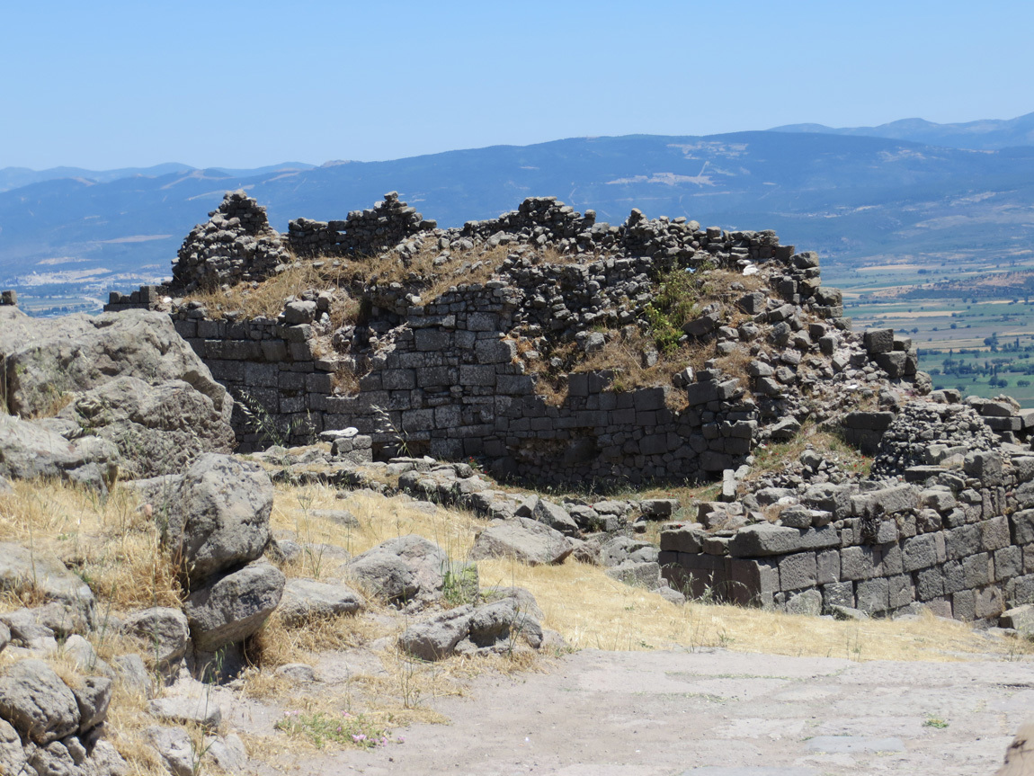
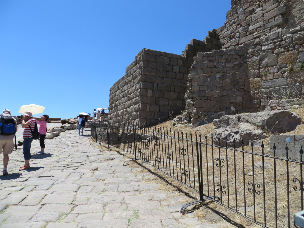
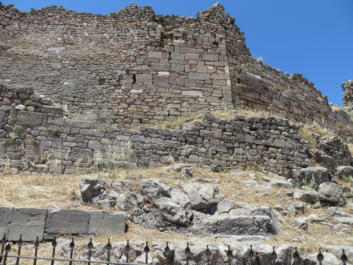
Enough is left on the Pergamum site to get a feel for how it once was. Here are parts of the citadel walls:

Pergamum

Pergamum was the capital of a small kingdom even before Alexander the Great. This citadel wall was built in the 5th to 4th centuries BC.

Pergamum

After the Hellenistic era, the city was part of the Byzantine Empire. The city expanded beyond the citadel walls and had over 150,000 inhabitants. As Rome weakened, Pergamum shrank. Walls were re-erected as a defense against Arab attack. By 1453, the Ottoman Turks ruled the city; they constructed more walls and structures and used the city as a castle.

So we are standing on the evidence of over 2000 years of different civilizations building, destroying, and re-purposing structures on this hill.

Pergamum

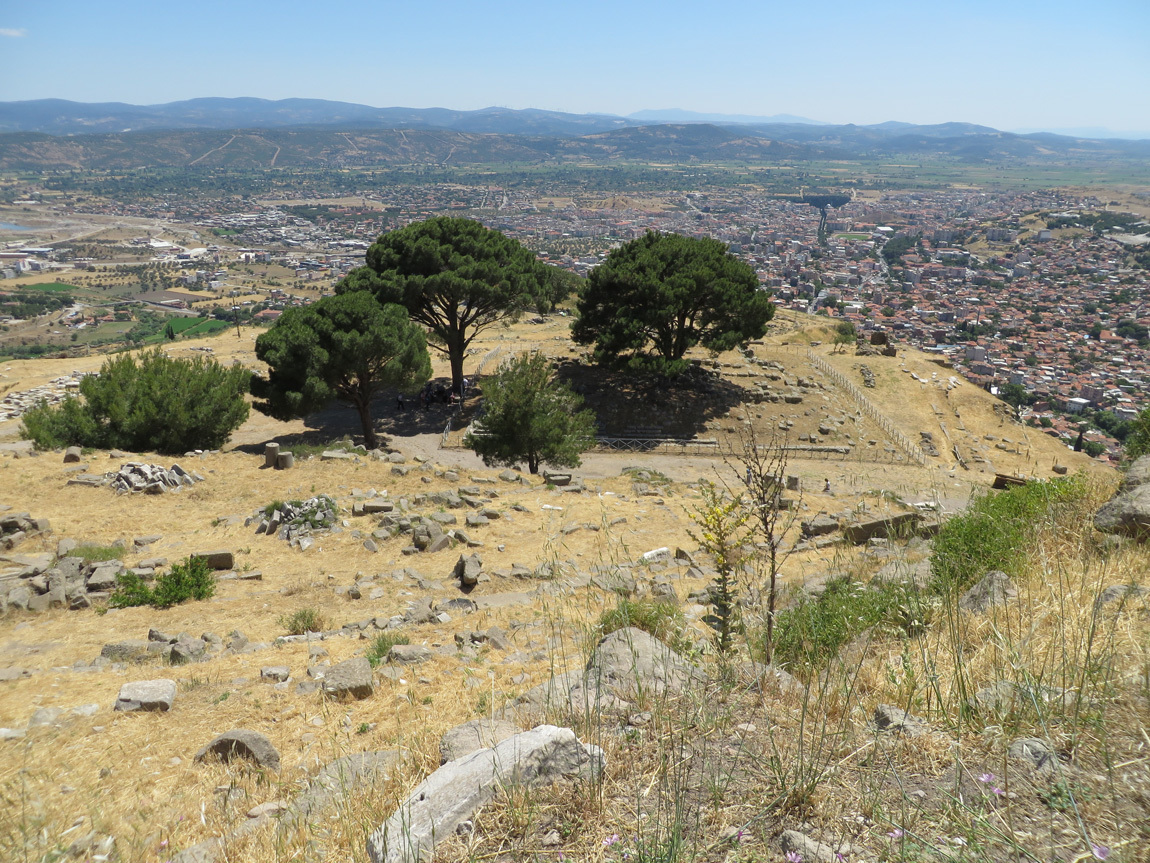
The views from Pergamum are pretty amazing.

Pergamum

Pergamum

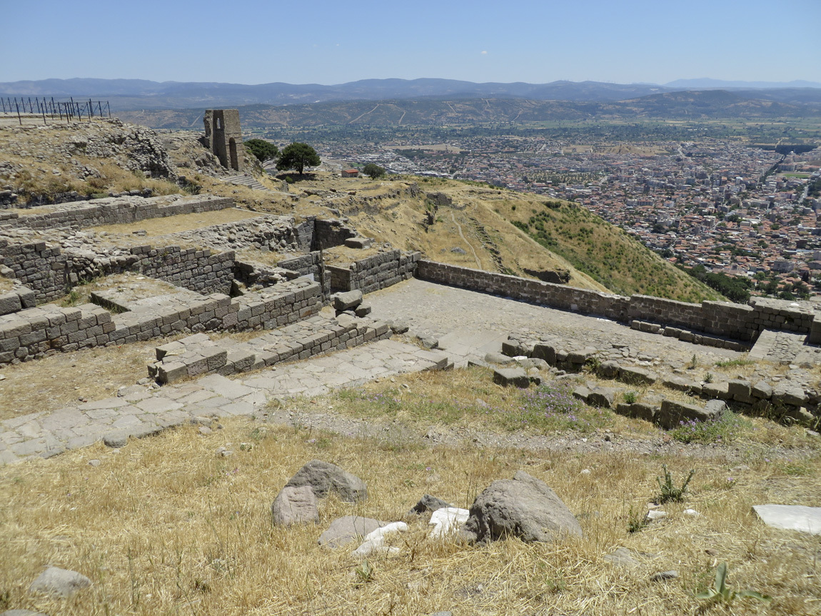
In the Middle Ages the foundation chambers of the temples were re-purposed as cisterns:

Pergamum

I asked where the water came from since the city is on a hill, and Ali said it was brought to the Acropolis by an aqueduct from a nearby, taller mountain.

Pergamum

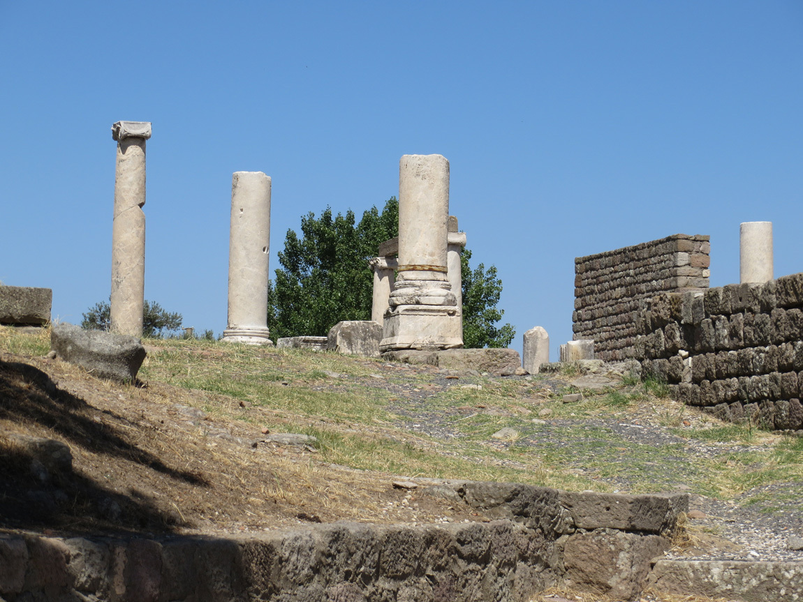
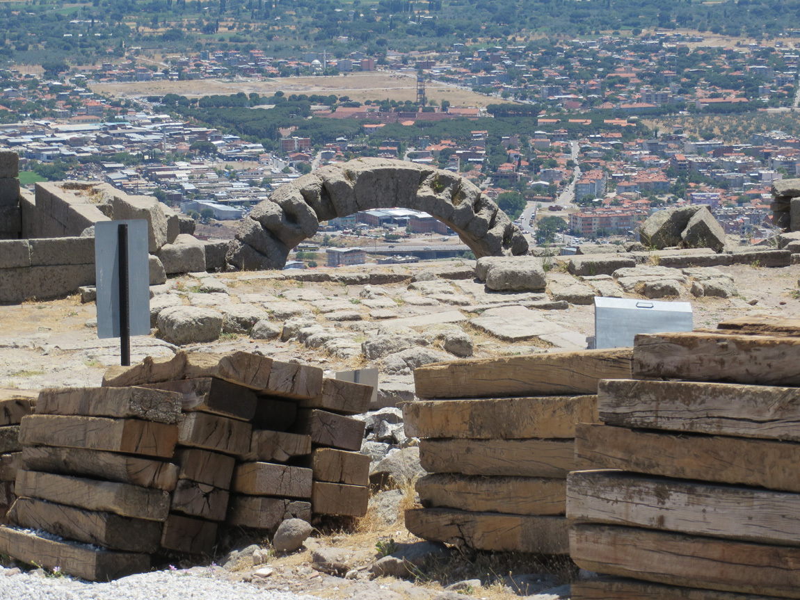
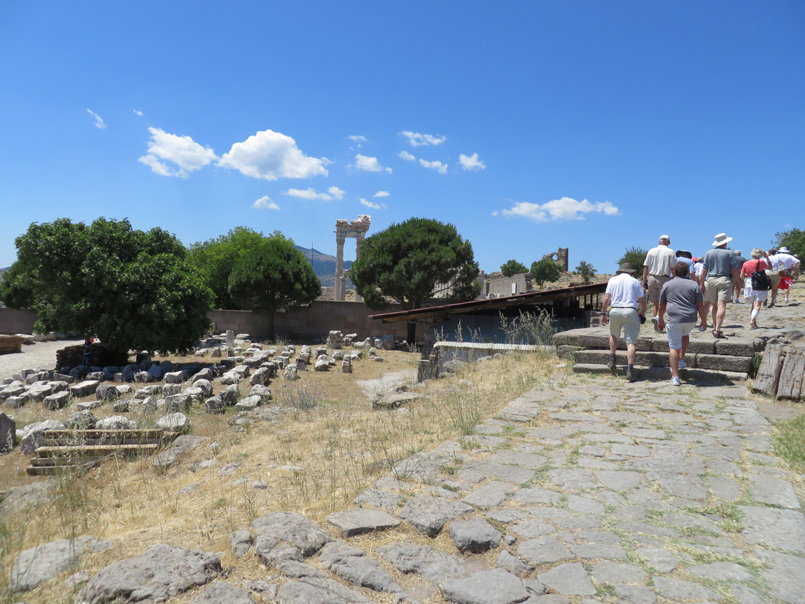
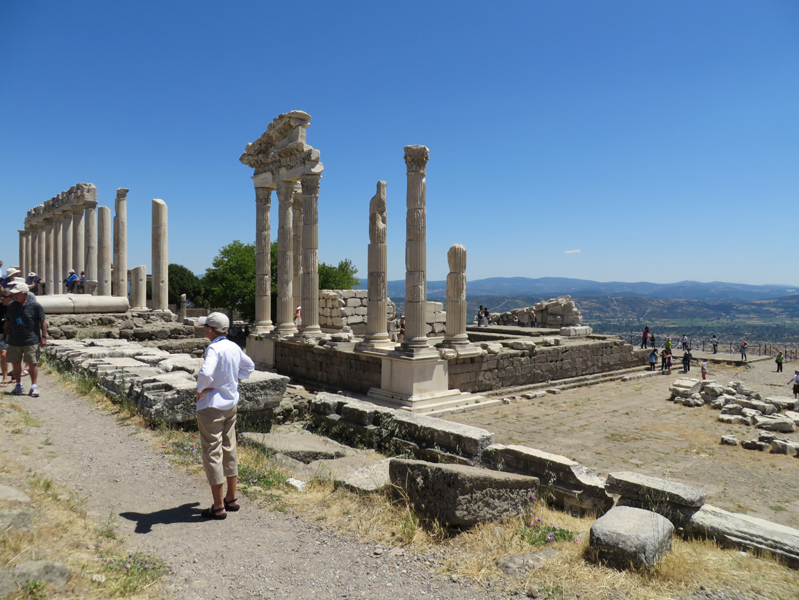
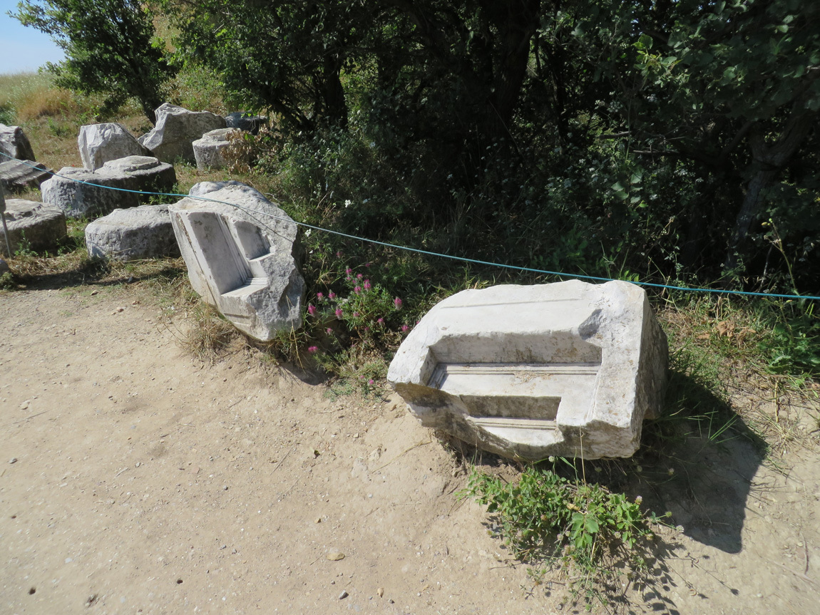
We walked along the paving stones of an ancient road towards the Sanctuary of Trajan, the tall columns you see in the middle of this photo. Look at all of the old, worked stones and pieces of lumber that are laying near the road:

Pergamum

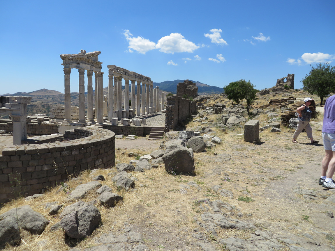
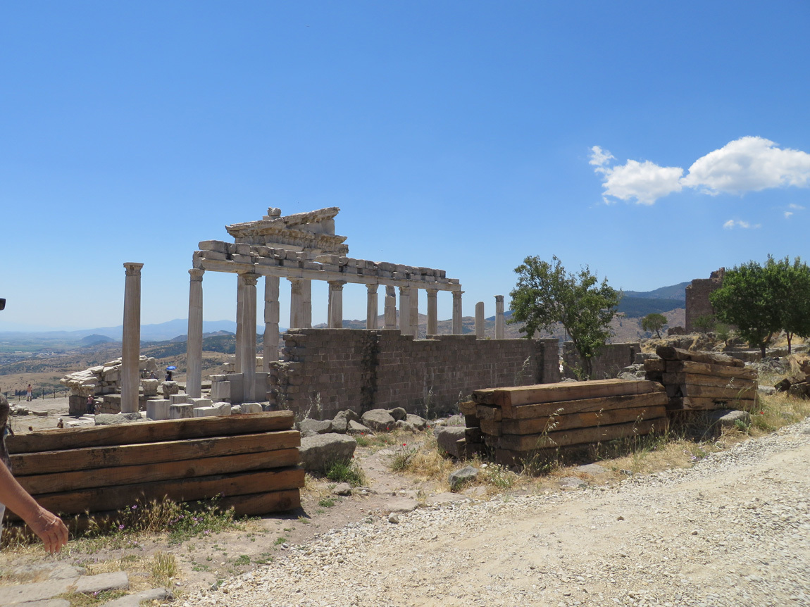
Sanctuary of Trajan ruins:

Pergamum

Pergamum

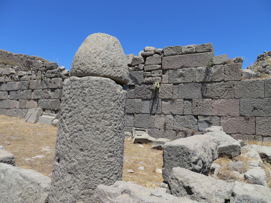
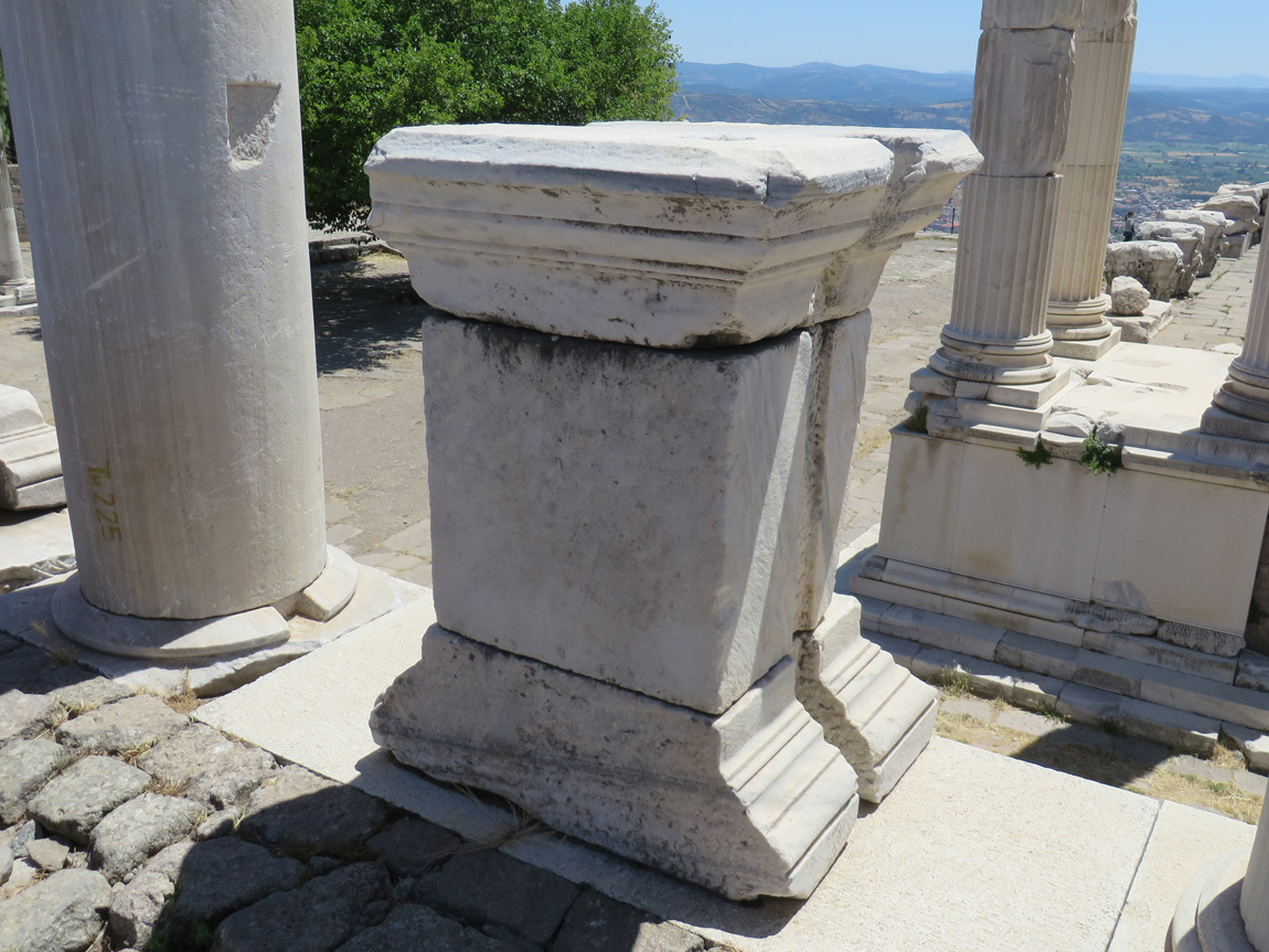
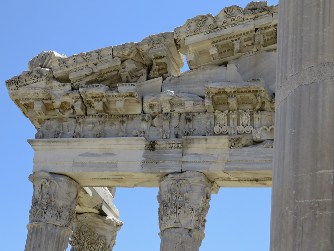
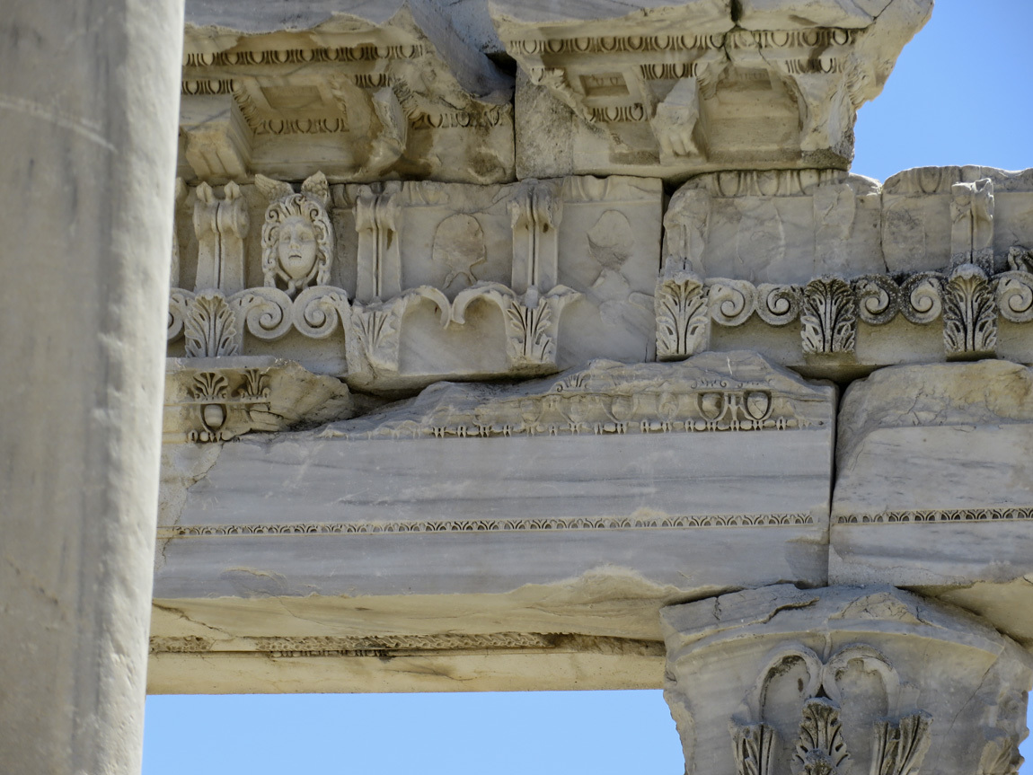
Details of the temple structure:

Pergamum

Pergamum

Pergamum

Isn't this all pretty amazing?

Pergamum

The stacked columns and stone blocks (ashlars) were originally strengthened by metal: first a hole was drilled in two stones, an iron rod inserted, and then lead was poured through the holes and allowed to harden. In the late ancient world, mining declined, increasing the value of metals, and the joining elements of the stone blocks were plundered. Only the foundations are left of this temple:

Pergamum

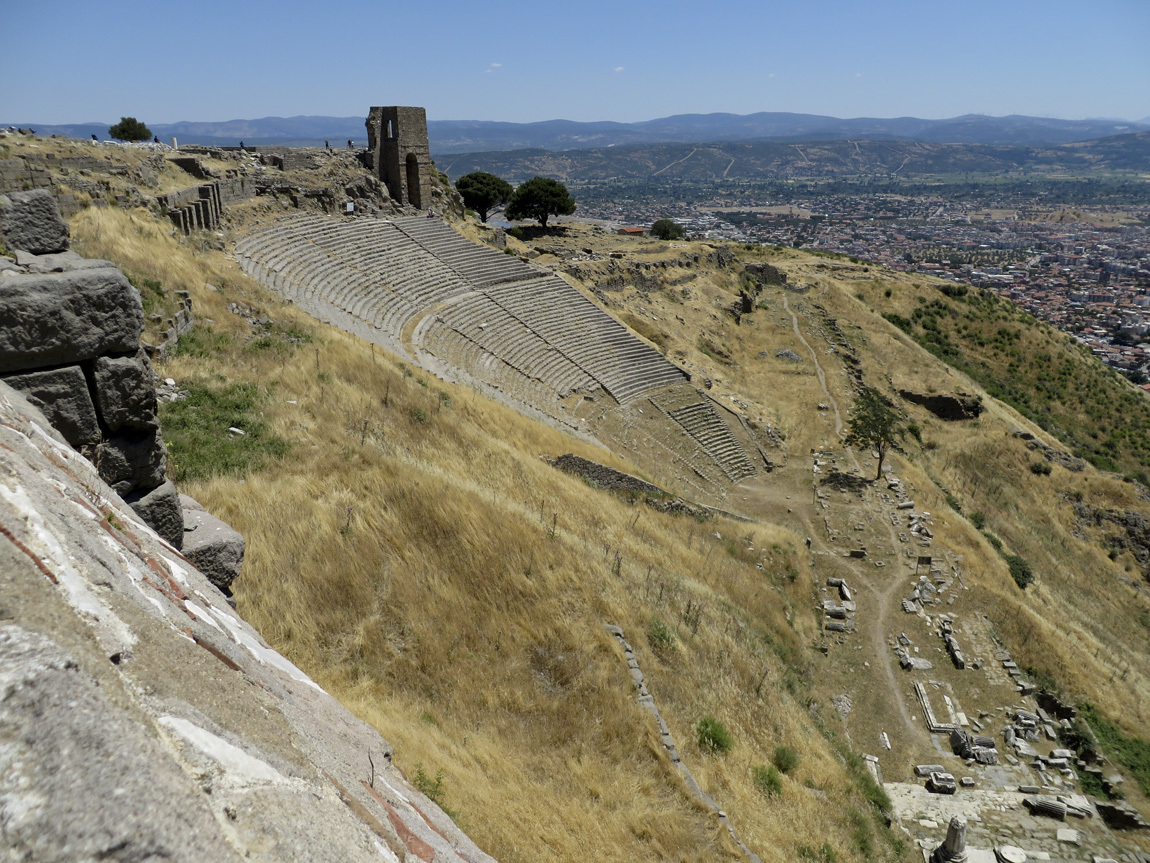
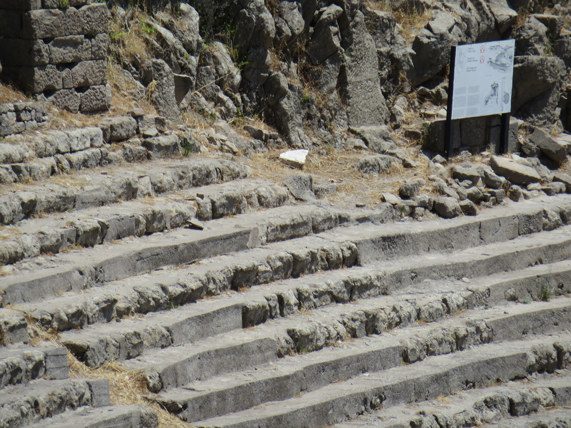
This Hellenistic Theater had a seating capacity of 10,000, and had the steepest seating of any known theater in the ancient world.

theater at Pergamum

Zoom in:

theater at Pergamum

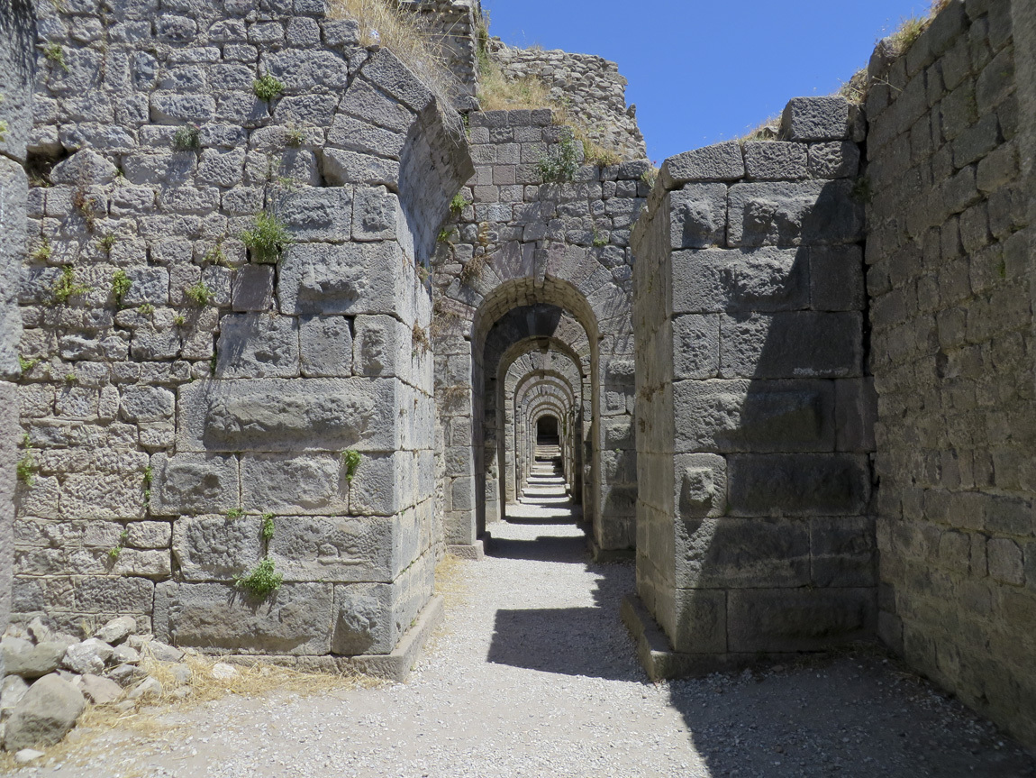
Arches and passageways that formed the foundation for ancient temples.

Pergamum

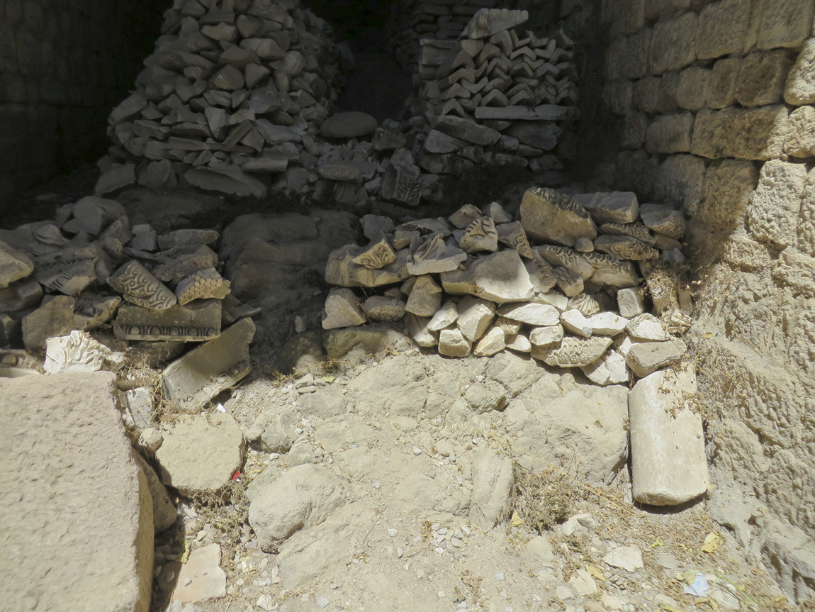
Pieces of old buildings lie in jumbles in alcoves of the foundation.

Pergamum

Our group walking up out of the structure.

Pergamum

A last look at the view,

Pergamum

and it's time to head back down the hill to our bus. We've spent only a little more than an hour at this ancient site.

Navigation:
first Turkey post
next Turkey post
12 August 2013

Peaches.

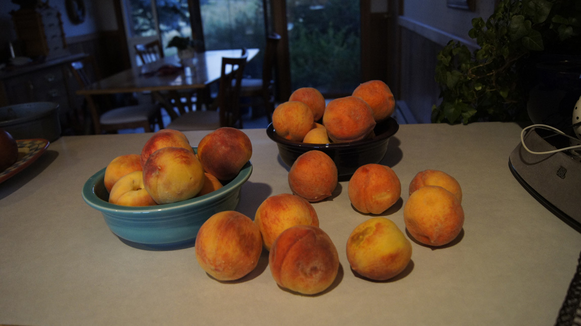
6 a.m. Sunday. August 4. Home in Colorado. The kitchen . . . that smell in the kitchen . . . I lean in close . . . peaches! It's that wonderful time of the year.

peaches

09 August 2013

June 9 and 10: Nazlihan Hotel

Our destination after Troy is the Nazlihan, a "boutique" hotel in Assos (or Behramkale), on the Aegean coast. It's about 2 hours south of Troy, an hour and a half drive on the main highway and then another half hour on a secondary road.

The city of Assos was founded about 1000 BC by settlers from Lesbos, a large island off the coast of what is now Turkey. In 530 BC, the people of Assos built a Doric Temple to Athena on top of a large crag. A couple centuries later, Assos was ruled by King Hermias, who encouraged philosophers to come to the temple and the city. The most famous philosopher who came was Aristotle, who lived there from 348-345 BC. We could see ruins of the temple from the bus, but did not stop to explore.

Our hotel is down the steep seaward side of Assos. And I mean steep! I had to close my eyes as our big bus maneuvered a couple of the sharp switchbacks down the hill. In fact, the bus couldn't get all the way down to the hotel. We had the option of walking or taking a shuttle: I walked.

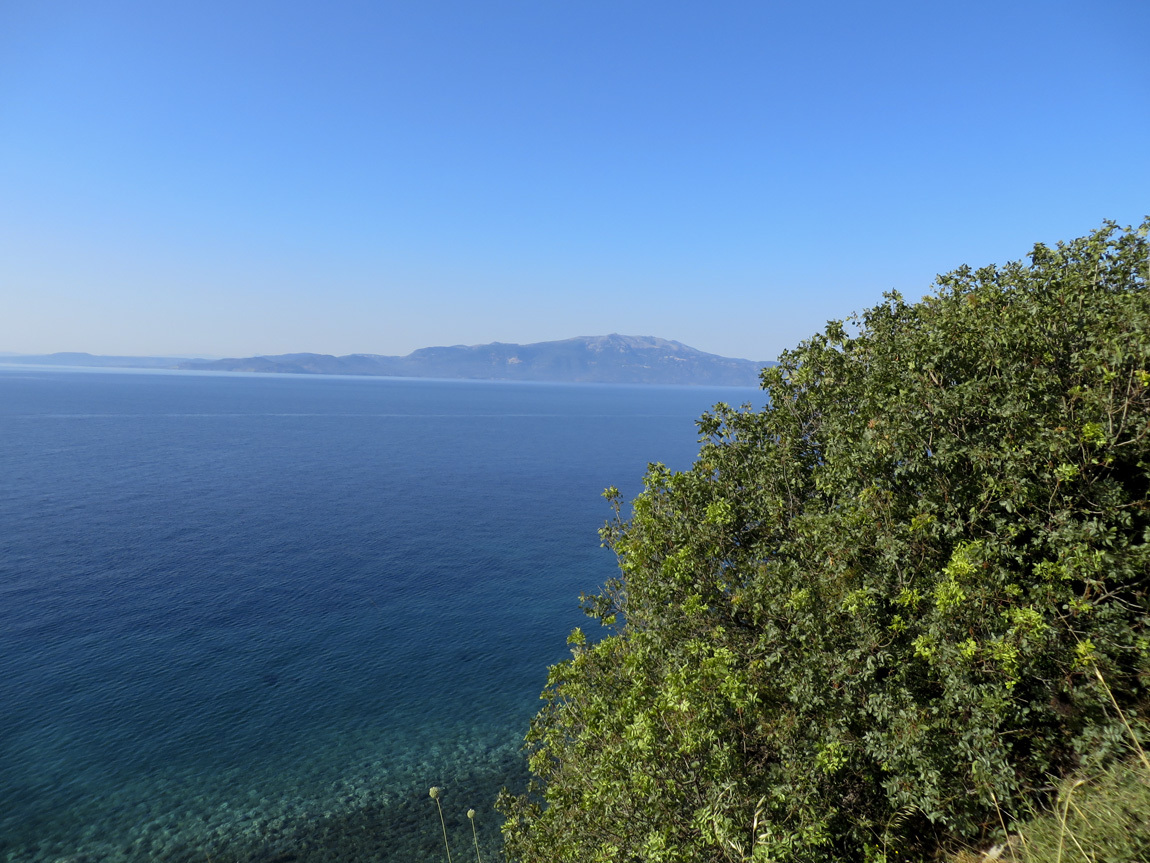
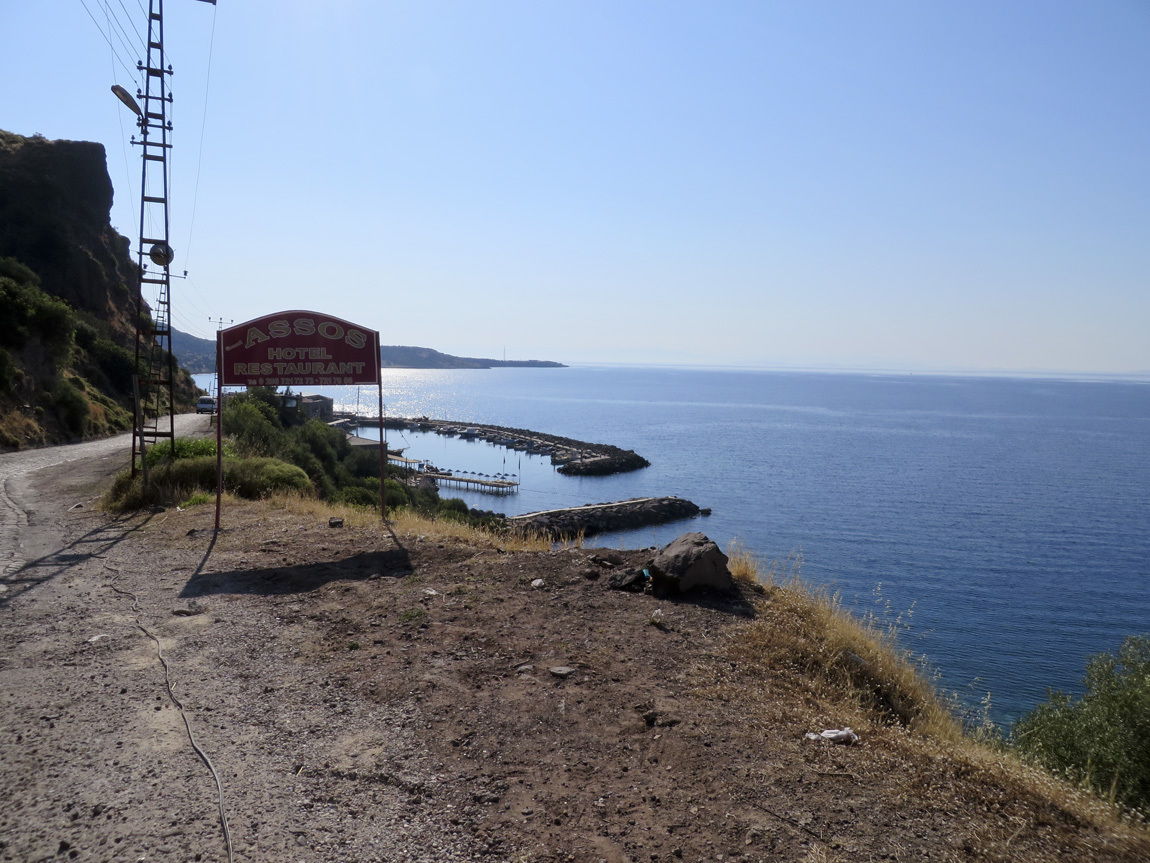
This is the view looking south from on top of the hill at Assos. The island in the distance is Lesbos, which is part of Greece. (Yes, lesbian derives from Lesbos.)

Assos view

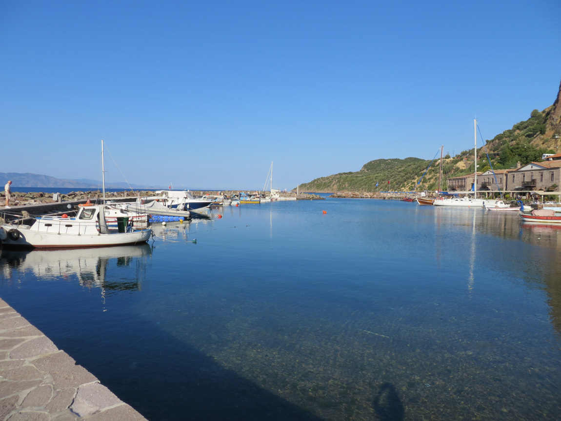
This view shows the jetty that forms a small harbor in front of the hotel area.

Assos view

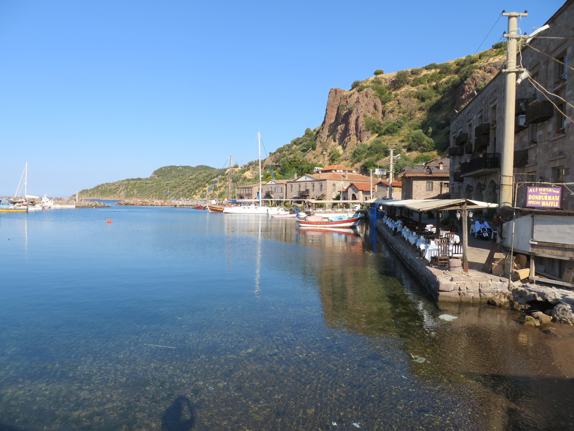
The views from the seaside near the hotel are amazing. The water is turquoise, the air cool, and Lesbos is in a slight haze in the distance. Sails and flags ripple in the salt-tinged breeze. The hotels are on the right, the jetty on the left in these views.

Assos view

Assos view

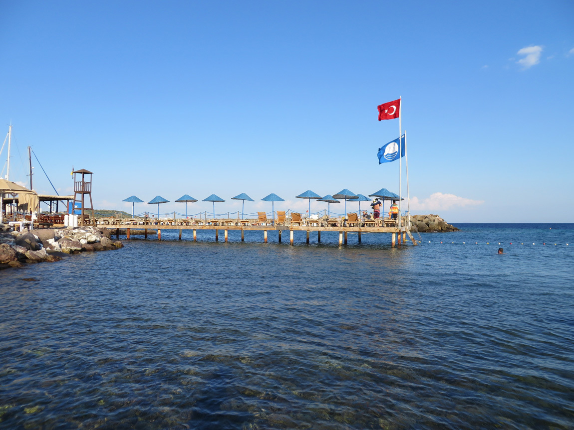
This is the swimming area. Only one couple of our group took advantage of this great swimming spot. John and I meant to, but were drawn to the outside tables for beers instead. We didn't get checked into the hotel until almost 7 pm, and left right after breakfast the next morning.

Assos swimming area

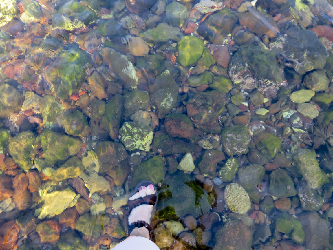
My feet in the pebbly - actually stony - water.

feet in water

We settle into our room in the Nazlihan. It's small and funky. We begin to realize that "boutique" is not synonymous with "luxurious". The hotel structure was used as an acorn storage house during the 1890s; it was renovated as a hotel in the 1990s. I described our room in my journal: "tiny, moldy, hot, noisy, uncomfortable". We spent less than 12 hours at the Nazlihan, most of that eating and trying to sleep. It would have been nice to have had a couple more hours to swim and relax in the seaside chairs.

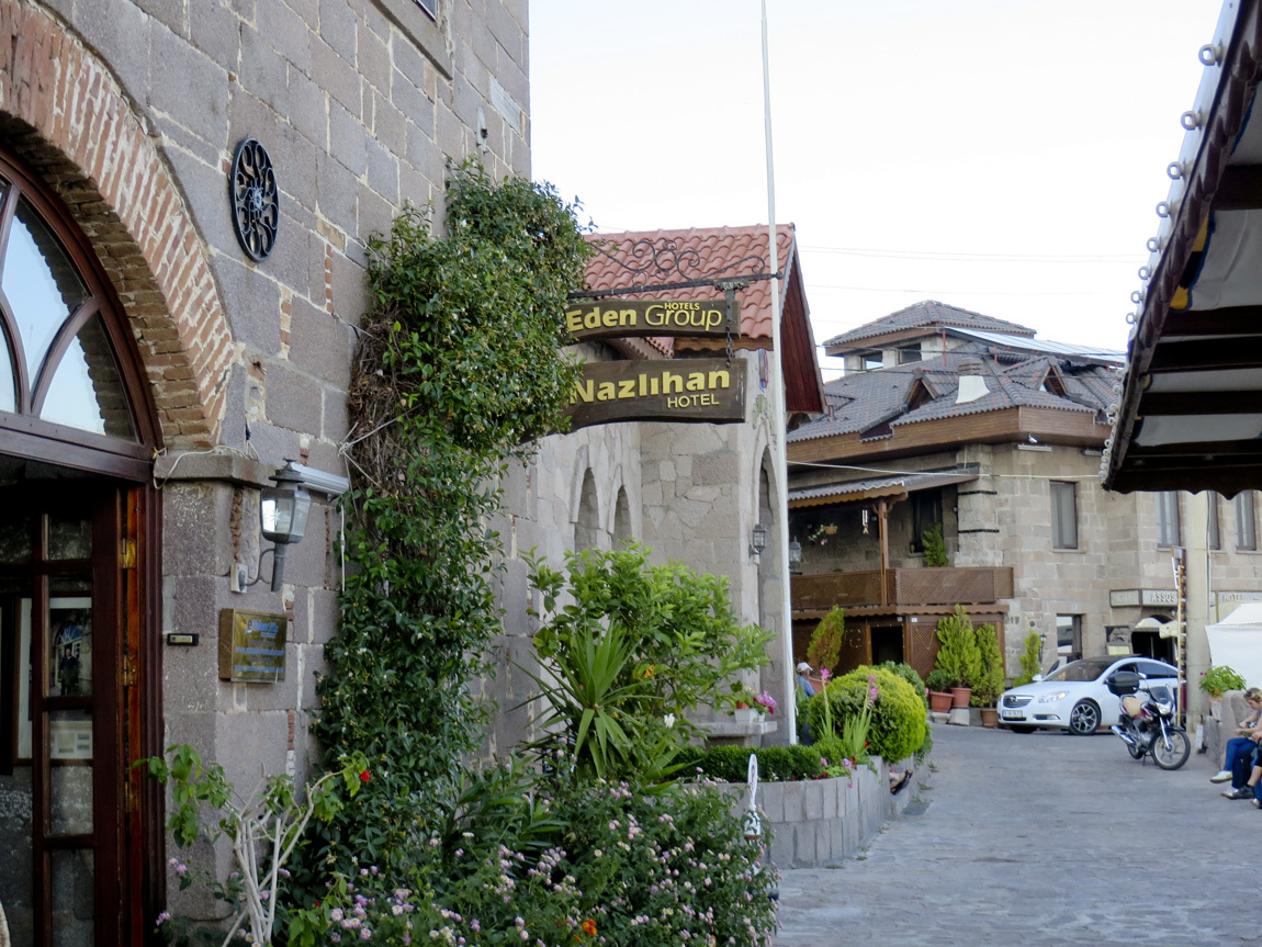
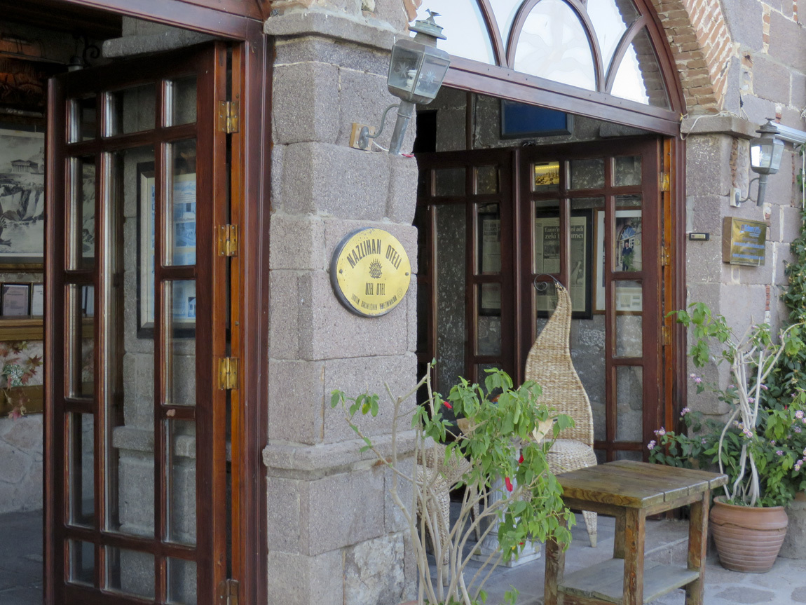
The front of the hotel is shown in the photos below. It opens into a big two-story entryway, with a stairway to rooms on the second floor. Birds flew into the entryway. That was cute, but those birds were noisy and they pooped everywhere.

Nazlihan

Nazlihan

It was good to have free wi-fi at the Nazlihan. The Divan charged daily for wi-fi and none of us purchased it. So by 4 days into our tour, we really wanted to check our emails and connect with family and friends. We also looked up news of the Istanbul protests. There is still unrest, but nothing noteworthy happened June 9-10; we had been a bit worried because the crowds were escalating. It was good to know that our protester friends were safe.

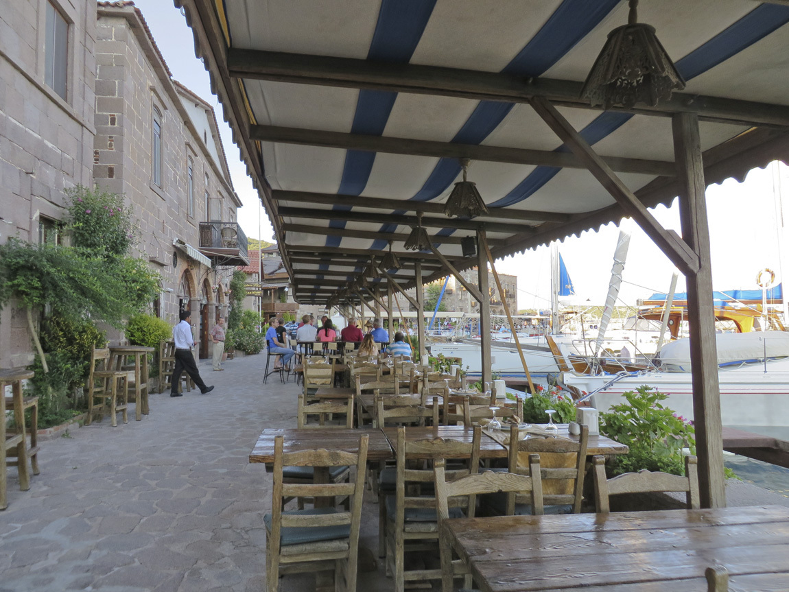
Our favorite feature of the hotel was the outside tables and the great Greek food served at dinner. It was a lovely place to sit, drink, eat, chat, and enjoy the view.

eating area

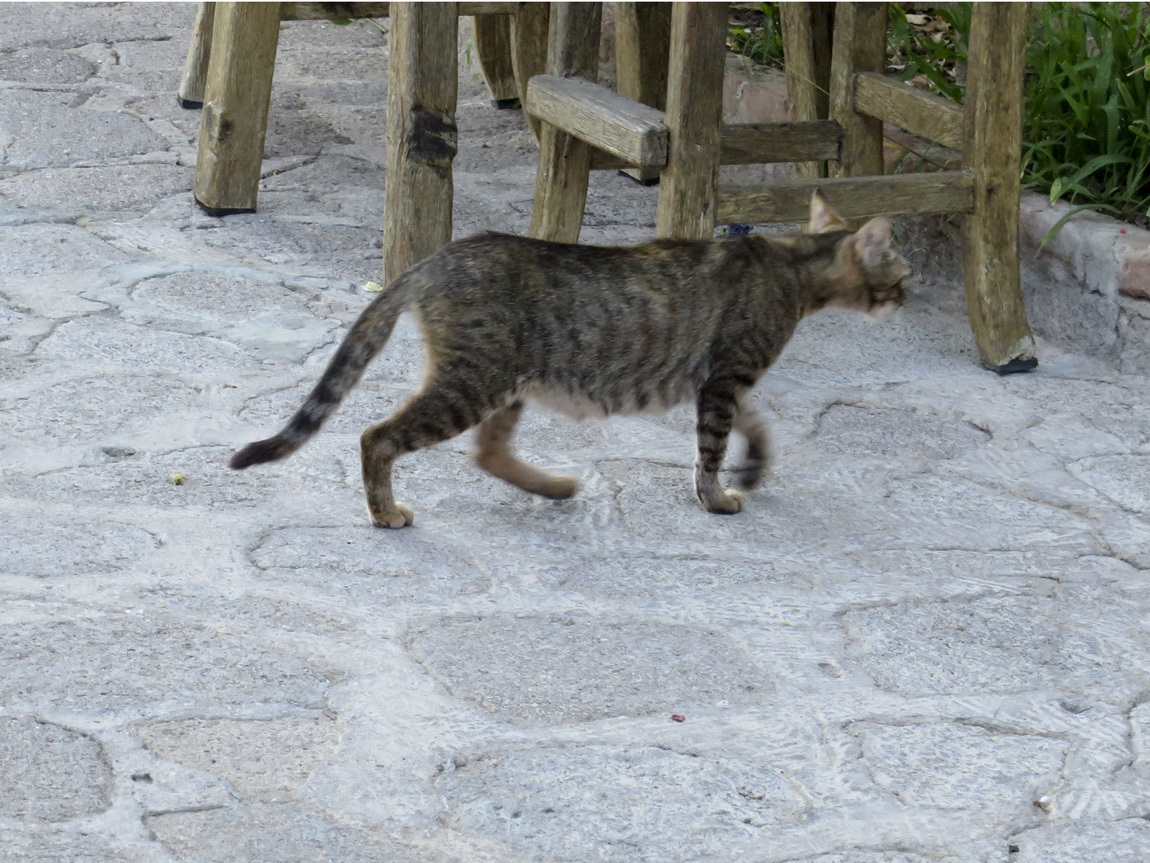
A cat came to visit us at the tables.

Assos cat

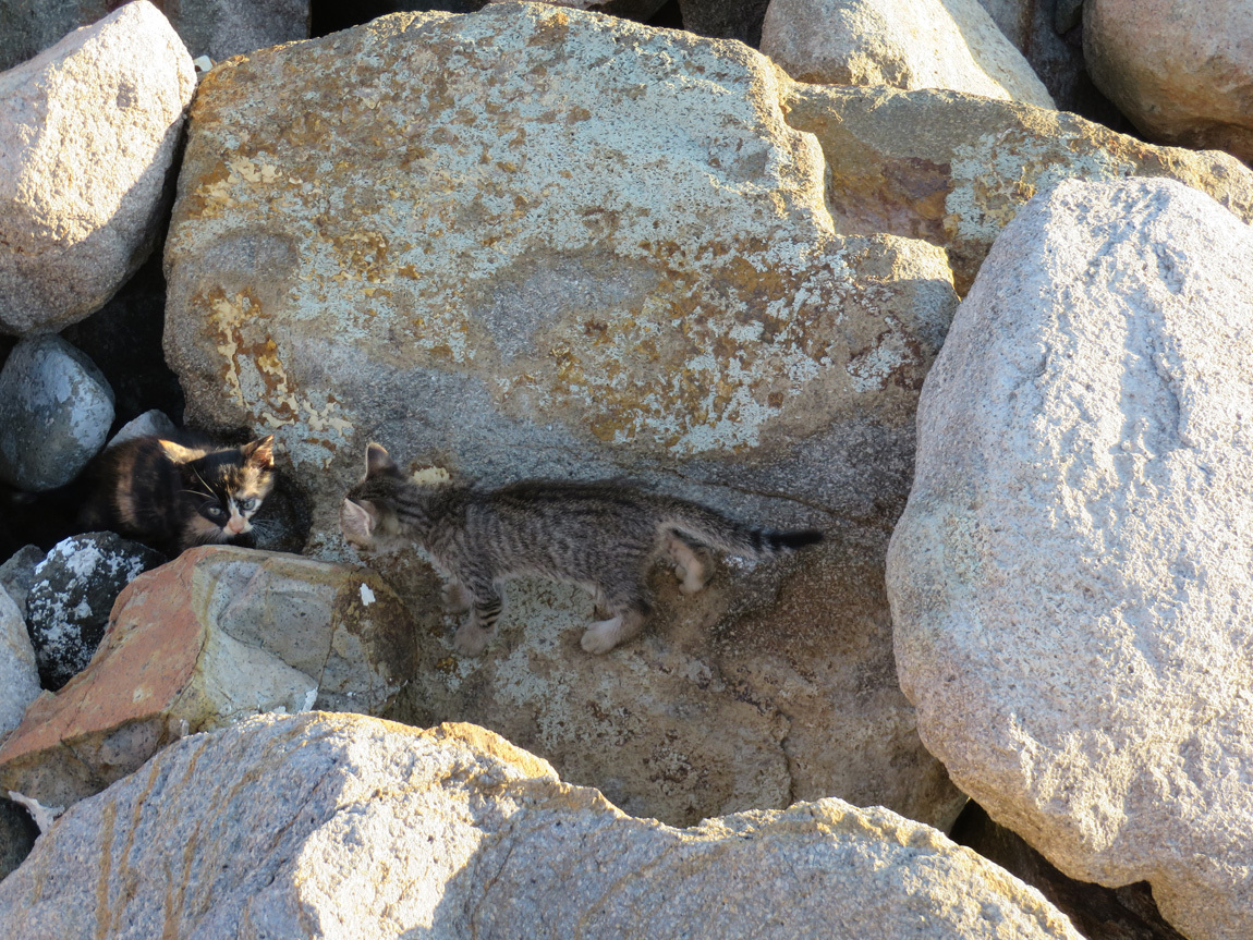
The youngest member of our tour said she had seen a litter of kittens out in the rocks on the jetty. So she and I walked out to take a peek.

Assos kittens

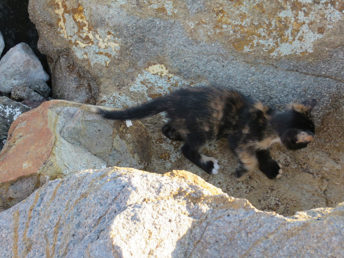
The kitten on the left looks so much like my cat that it startles me.

Assos kitten

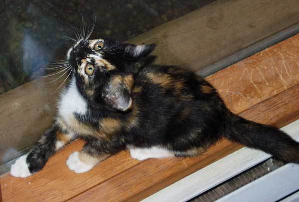
My cat when she was a kitten:

my cat

Cats and dogs roam freely throughout Turkey. They don't belong to anyone, nor are they feral. They are friendly and always willing to share your meal, or get petted, but are not pushy. Both dogs and cats were street-wise. In general, Turks seem comfortable with the free-roaming dogs and cats, and are against euthanasia as a form of animal control. Instead, laws have been passed requiring trap-spay/neuter-vaccinate/treat and release of the strays. Many dogs that we saw had tags indicating such treatment. Here are a couple web articles if you would like further reading: Legal Nomads and Animal Behavior Associates.

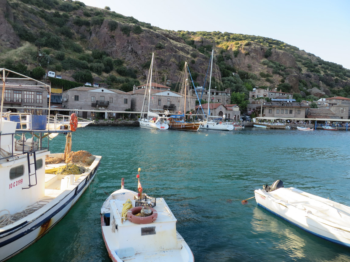
We had to leave the cute kittens and go eat dinner. I snapped a photo of our hotel from the jetty.

hotel area from jetty

The experience at the Nazlihan was interesting. The Assos seaport is really lovely. But John and I will be leery of "boutique" hotels in the future.

Navigation:
first Turkey post
next Turkey post
05 August 2013

June 9: Troy

This is a long post with some perhaps boring history. But I wanted to get it straight in my mind, since we went all that way to see this ancient site. Skip to the photos, if you wish!

We have all heard of Troy, but before our trip to Turkey, I wasn't sure whether Troy was a mythological or a historical location. In school, we all learned about Homer, who wrote of the Trojan Wars in his famous epic narrations, the Illiad and the Odyssey. True stories, or not? I didn't know, but I had never heard of anyone visiting Troy. And if asked, I would have guessed that Troy was in Greece.

But our trip to Turkey set me straight. Troy was an actual city. More specifically, the location of Homer's Troy was the location of many cities, each built on the ruins of the last. The location is in Anatolia, in Turkey, on the northwestern coast. It's off the beaten path - it's not near a modern city, although it is near a major highway.

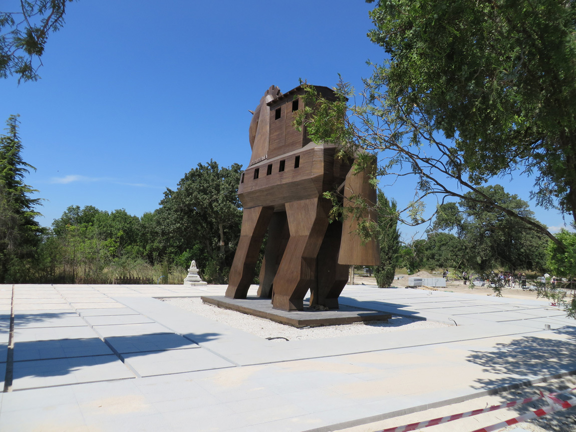
According to legend, the Trojan Wars began after Paris of Troy took Helen ("Helen of Troy") from her husband Menelaus, the king of Sparta (an ancient Greek city state). This sparked a conflict between the Trojans and the Greeks (also called the Achaeans - "from across the Aegean Sea"). At one point, the Greeks offered a wooden horse as a gift to the Trojans, and as we all know, it was filled with soldiers who took over Troy. Thus: the Trojan Horse.

The ancient Greeks, at least, believed that the Trojan War was a real event that took place in the 12th century BC (1300-1190 BC). The site of Troy, the Greeks believed, was on the Anatolian peninsula, on the Dardanelles, that strategic spot to control waterways.

Up until the late nineteenth century, the Trojan Wars and the city of Troy were thought by most of the world to be just Greek mythology, not historic fact. Then, in 1864 an English archeologist named Frank Calvert began excavations on a farm owned by his family on Hisarlik Hill, near the Dardanelles. He believed that this was the site of ancient Troy. In 1868, Calvert convinced Heinrich Schliemann, a German businessman and archaeologist, to join the excavation.

What the archaeologists found were ruins of ancient cities. Eventually the finds convinced the world's historians that the site is indeed that of the ancient city of Troy. Not only that, ruins of at least eight other cities are found in sequential layers on the site. The different city layers are numbered in roman numerals from I to IX, with I being the oldest. The first city, Troy I, was Wilusa, existing about 3000 BC. Troy I was founded by the Hittites, the first Anatolian people to form a city state. Troy VII is probably Homeric Troy. The last city is Hellenistic Illium, around the 1st century BC.

Here is a list of the different Troys that I nabbed from Wikipedia:

Troy I 3000-2600 BC (Wilusa)
Troy II 2600-2250 BC
Troy III 2250-2100 BC
Troy IV 2100-1950 BC
Troy V: 20th-18th centuries BC
Troy VI: 17th-15th centuries BC
Troy VIh: late Bronze Age, 14th century BC
Troy VIIa: 1300-1190 BC, most likely setting for Homer's story
Troy VIIb1: 12th century BC
Troy VIIb2: 11th century BC
Troy VIIb3: until c. 950 BC
Troy VIII: around 700 BC
Troy IX: Hellenistic Ilium, 1st century BC (existed until Constantinople established, gone before Ottomans)

The photo below shows the entrance to the historical site of Troy.

entry to Troia

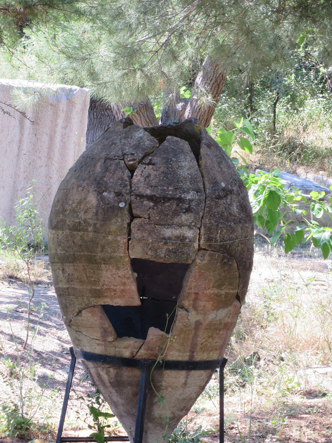
Near the entrance are piles of different relics, like this pot:

pot

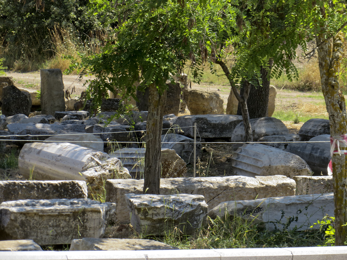
Here are some columns and parts of walls:

columns and walls

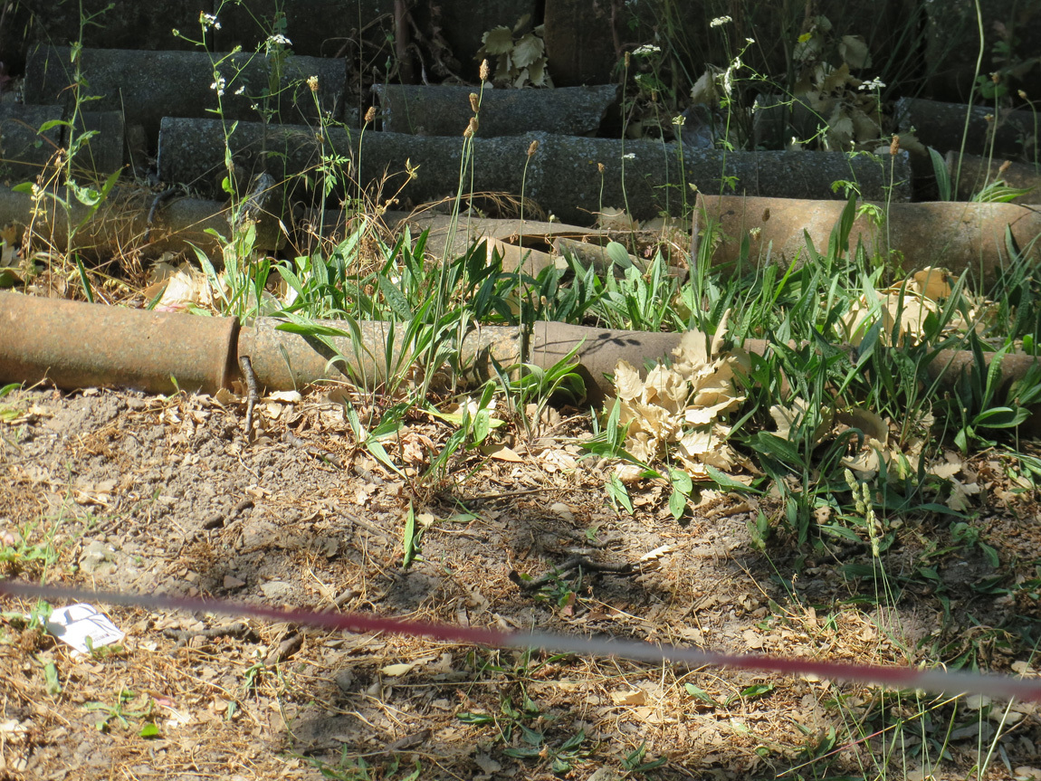
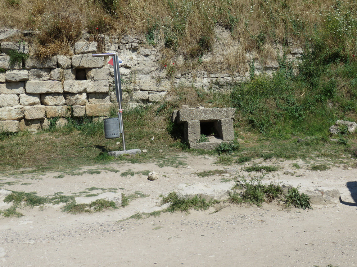
These pipes carried water in the ancient cities:

water pipes

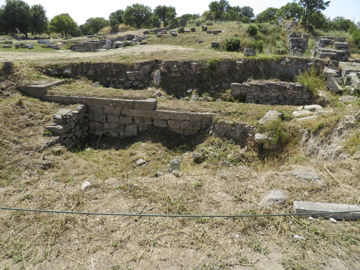
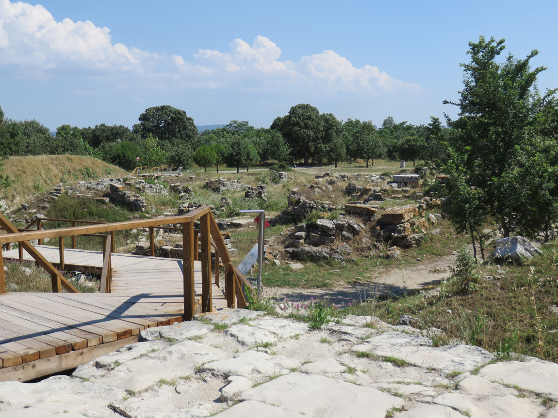
The path takes us towards ruins and a small hill. It's mindboggling to think that all that we are about to see was covered with earth until the late 1800s when the excavations began.

walls

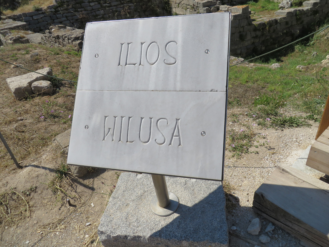
This sign signifies that the ruins of Troia (Troy) date from Ilios (1st century BC, Troy IX) to Wilusa (3000 BC, Troy I).

sign

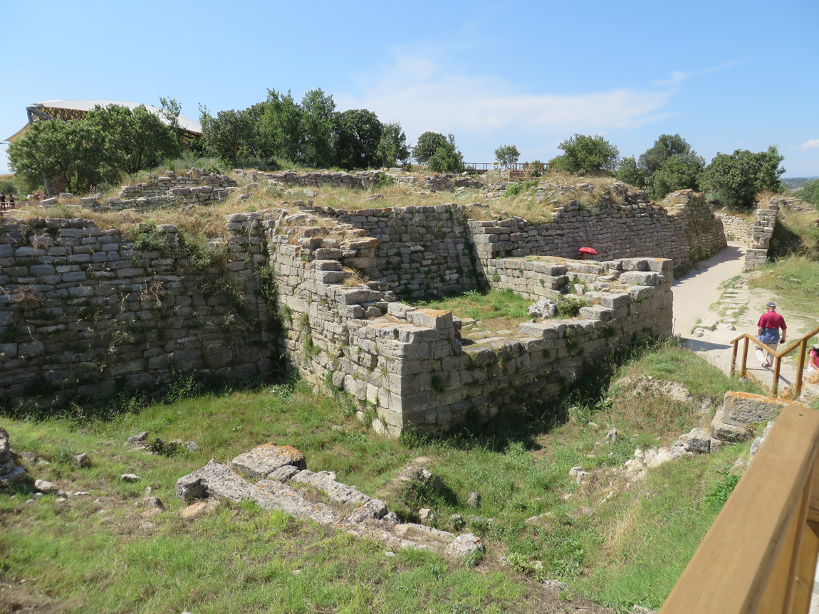
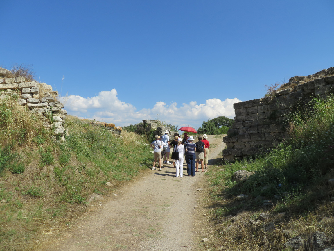
As we near the ruins, we see the remains of a structure. See that red umbrella in the right of the photo? That's where Ali is waiting for us. Our whisperers are on, and he will talk about the structures that we see.

walls

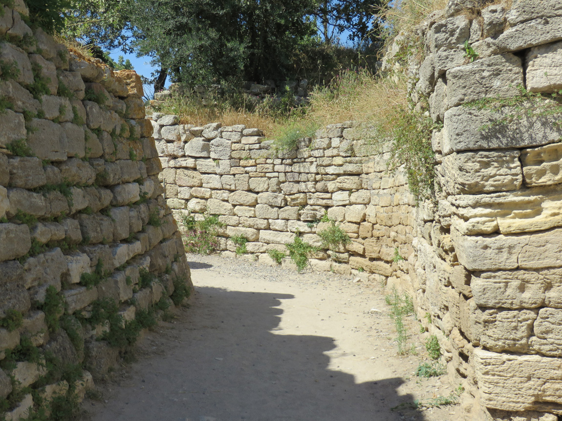
In the photo below, we have arrived at the spot where Ali is in the last photo. We see a narrow, curving passageway. In Homer's Troy, the narrow passageway made it easy to screen for foes and protect the city. As I walk through the narrow corridor, I think what it must have been like 3000 years ago. Were there armed guards on the walls? What sort of wonders are the wall guarding? What would I be wearing? Was it as hot then as it is now? (It's so dang hot that I wonder why anyone ever built a city here!)

walls

The inset in the wall is a stone culvert for water. There was once an artesian well system, constructed first in Troy VI and restored in Troy VII.

stone culvert

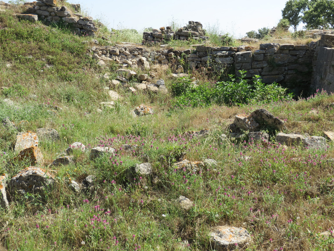
Further on, we see parts of walls from different times. We are now climbing up the small hill.

ruins

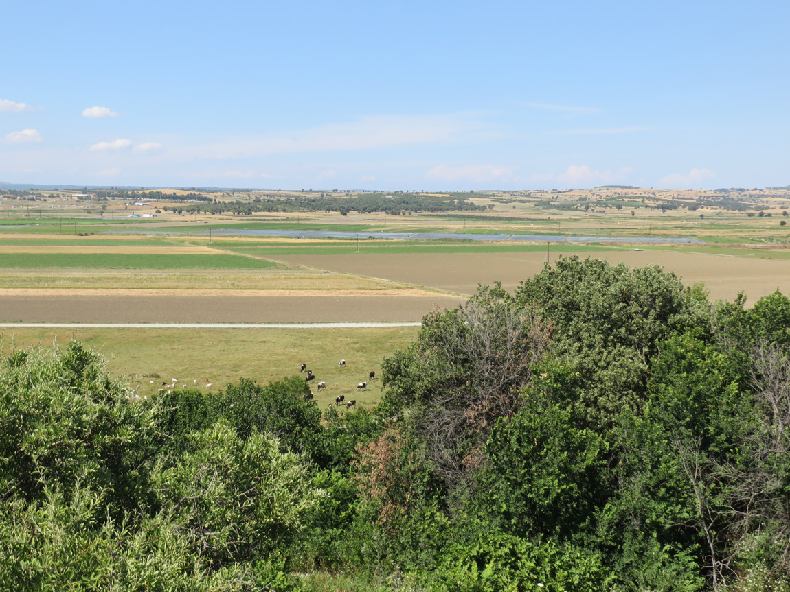
From the top of the hill, we can see out into a fertile Aegean plain, with a river running through it. Today, this Troy site is a few miles inland from the Aegean Sea, but at the time of Homeric Troy, the site was on the mouth of a river that formed a natural harbor on the Aegean, near the Dardanelles. Over the years, the mouth of the river filled in with silt, clay, sand and gravel, and is now a plain.

Aegean plain

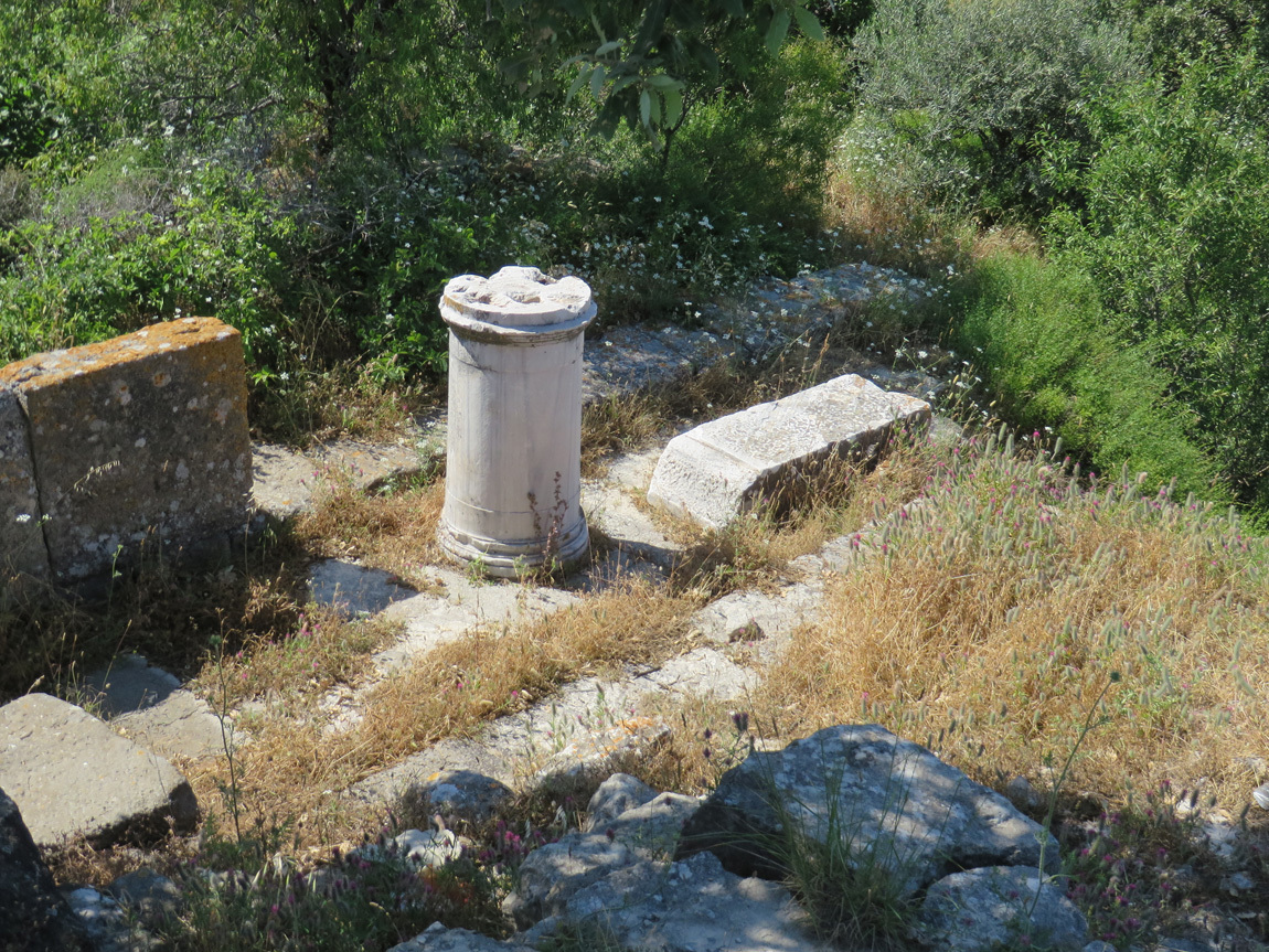
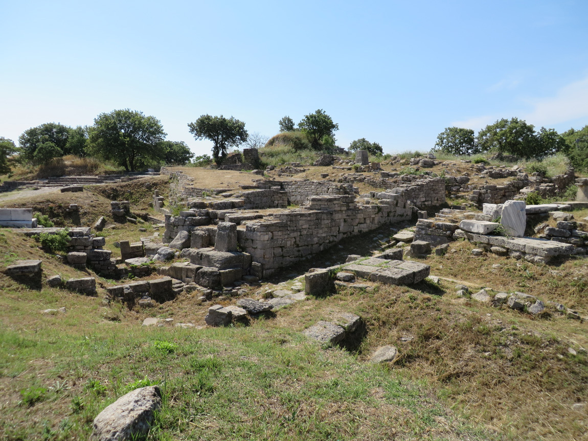
A sign says: "You are now standing on what remains of the foundations of an altar which belonged to the Greek and Roman temple of Athena. The remains of this temple had already been removed by stonerobbers when Schliemann began his excavation in 1871. Other limestone foundations were discovered at the same level. These derive from statues, altars and other small architectural features in the courtyard of the temple precinct, and some of their marble fittings have been found."

temple of Athena

A sign says: "Where you are now standing there once lay the forecourt of the temple of Athena belonging to the Greek and Roman city of Ilion (Troy I). Looking down you can see in the center of the mound a wide area at a lower level. This was excavated by Schliemann and Dorpfeld. The marble architectural fragments lying there originally belonged to the temple of Athena. The temple, whose base measured 36m x 16m, was surrounded by a Doric colonnade supporting a coffered ceiling. Outside, on the entablature, were metopes (reliefs) the most famous of which shows Apollo/Helios. This is now displayed in Berlin."

Berlin! They took the artifacts from the Ottomans and put them in a German museum. The Turks are still negotiating to get them back.

The sign continues: "It is thought that the temple was built by Lysimachus, one of Alexander the Great's successors, around 300 BC. In Greek and Roman times the temple was the focal point of a great annual festival in honor of the goddess Athena. This festival was marked by sacrifices and athletic contests."

temple

temple

temple

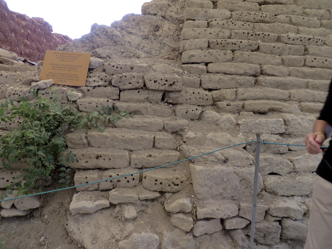
The sign in this photo says "original foundation stones belonging to the fortification wall and towers of Troia II, III (c 2500 BC)".

Troia II, III walls

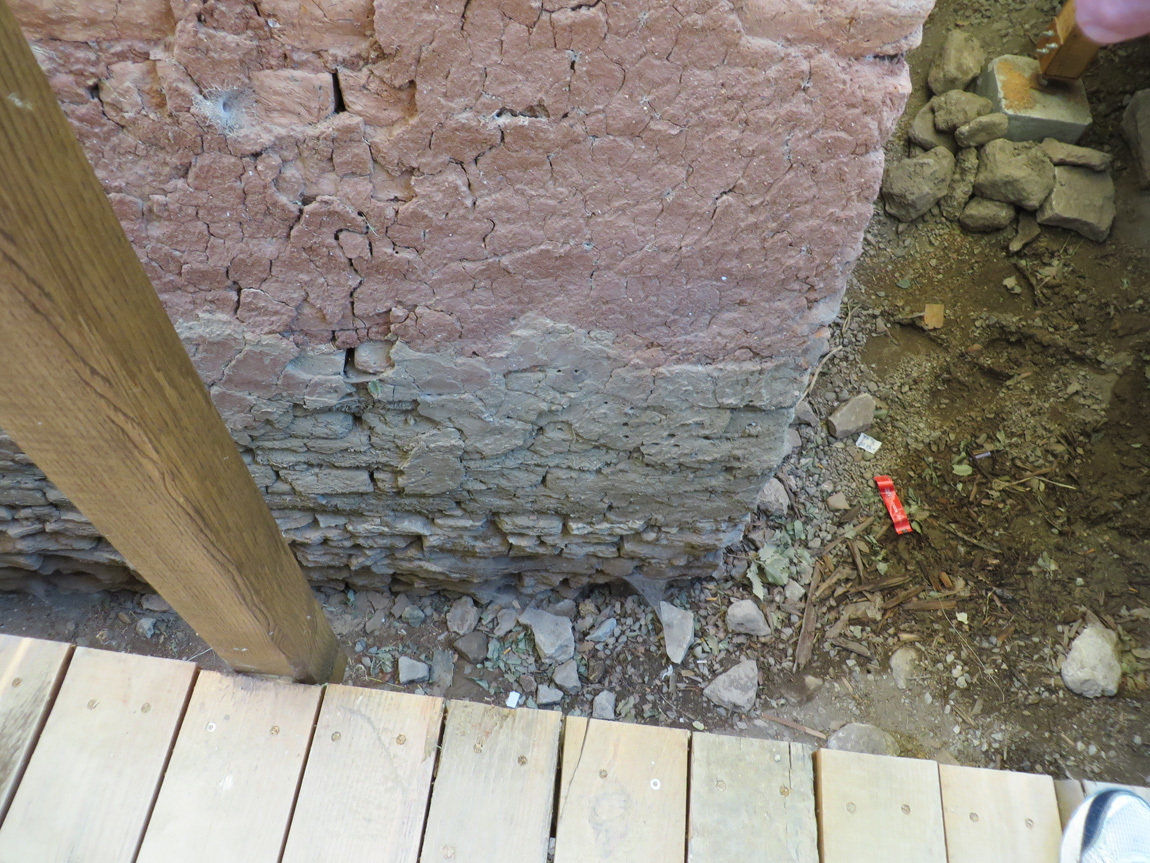
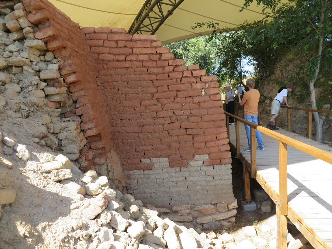
This is the view of the outside of the Troia II/III Citadel Wall, ca 2500-2200 BCE (Schliemann's "Burnt City"). This is a reconstruction built with hand-made and fired mudbrick. The reconstruction conceals and protects the original mudbrick material. A fire gave the original brick of the upper and outer part of the wall a red color.

Citadel Wall

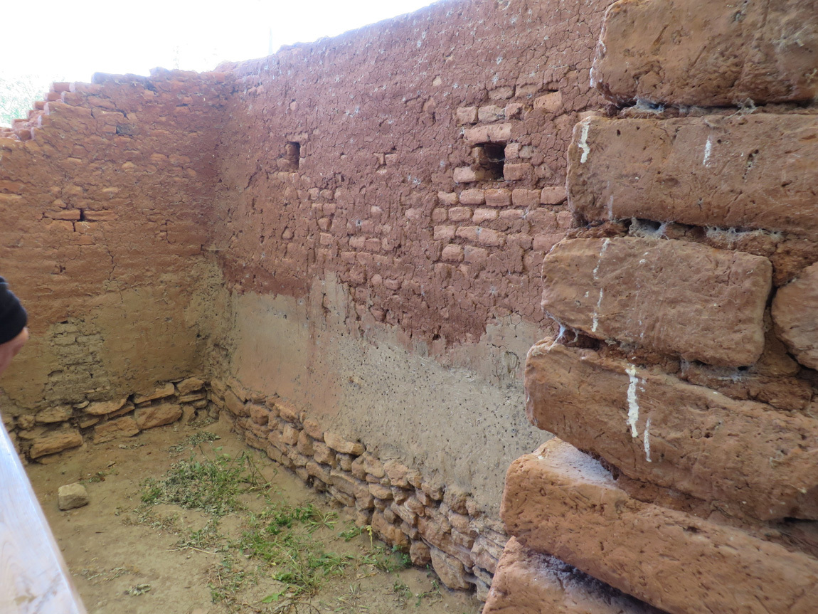
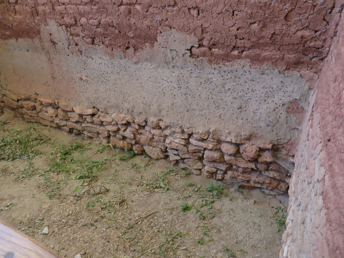
Inside the Citadel is a mudbrick building with a stone foundation excavated in 1998/99. This building was found with its walls still standing up to a height of over 1.5 meter. In 2003, a roof was built over the mudbrick building so that it could be opened to the public without the archaeological material being harmed.

ruins

ruins

ruins

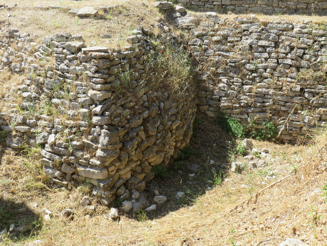
The photo below shows part of the fortifications of Troia I. Troia I was built c 2920 BCE directly on bedrock. Archaeological deposits four meters deep suggest a long period of occupation. The slightly inward-sloping fortification wall enclosed a settlement with a diameter of about ninety meters. In front of the tower stood at least one stone slab or stele with relief decoration showing the upper half of a human figure possibly holding a weapon.

Troia I

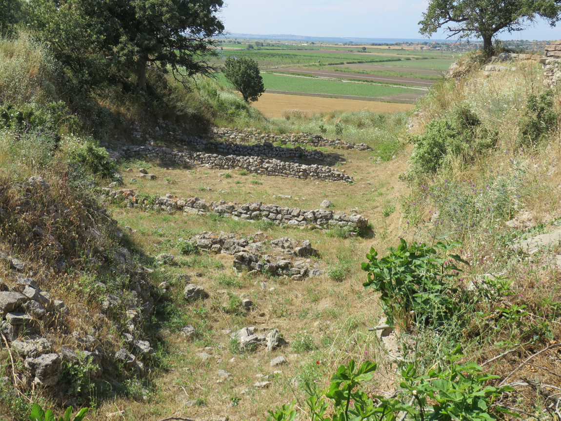
Schliemann made a deep trench, forty meters wide and seventeen meters deep, through the center of a mound. Schliemann was looking for the treasure of "Priamâ€s Citadel". He destroyed remains of buildings from the overlying layers while digging this trench. At the bottom of the trench Schliemann found remains of walls belonging to the early Troia I period (c 2920 BCE). You can see these in front in the photo below. It was only in the American excavations of the 1930s and in the work carried out since 1988 that the Troia I period was more closely studied. The rows of parallel, rough stone walls are the foundations of relatively large, close-set houses.

Troia I

Schliemann was kind of a rat. During the excavation of Troy, he came across a remarkable copper article behind which he saw gold artifacts. He called a lunch break so the workers would leave the area. He proceeded to secretly take the treasure and smuggle it out of Anatolia. This treasure is known as "Priam's Treasure', because Schliemann believed it was from a king during Troy VI or VII. Most likely though, it was from Troy II because of the level at which it was found. He was found out when his wife wore some of the jewels in public in Germany. Today, some of this treasure is in Berlin, some in Moscow, and some in Istanbul.

our group

The photos below are of the south gate of Troia VI, probably the principal entrance to the citadel. Only the roadway to the gate survives today. It led in a straight line up into the citadel and was entirely paved with stone slabs. In the middle of the road was a drainage channel that ran beneath the paving stones. You can also see remnants of the South Tower of Troia VI. The walls are built directly on bedrock and two meters of them are preserved. Stone stelae (decorated slabs) stood in front of the tower. There are also remnants of a house called the Pillar House. (Note: Troy VI was before Troy VII, around 1700-1250 BCE.)

Troia VI

Troia VI

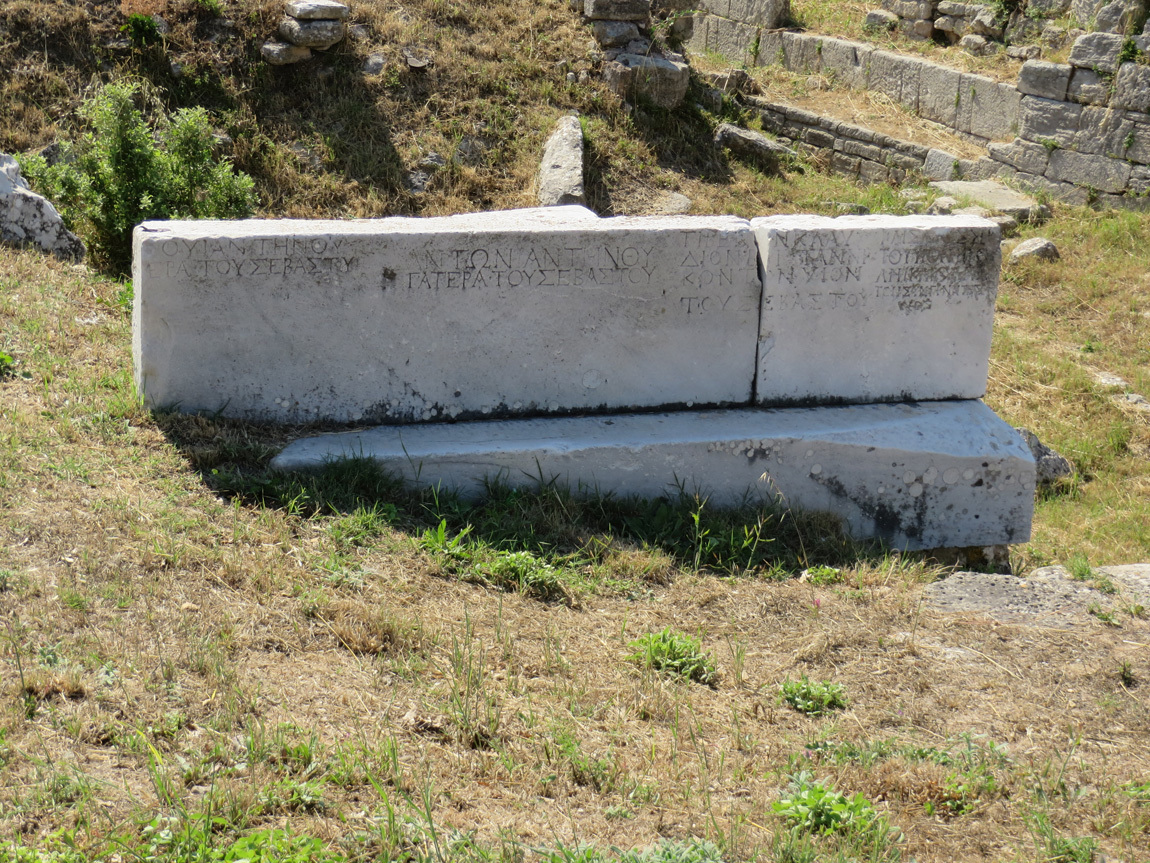
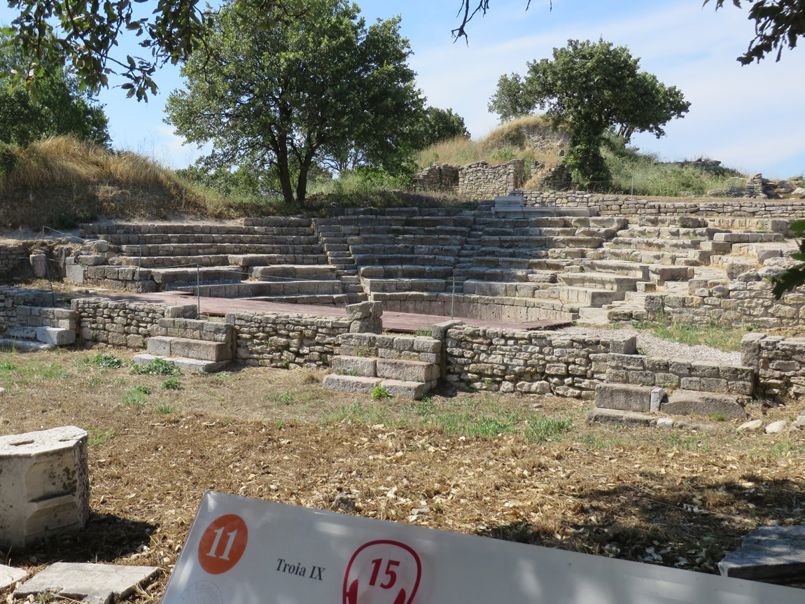
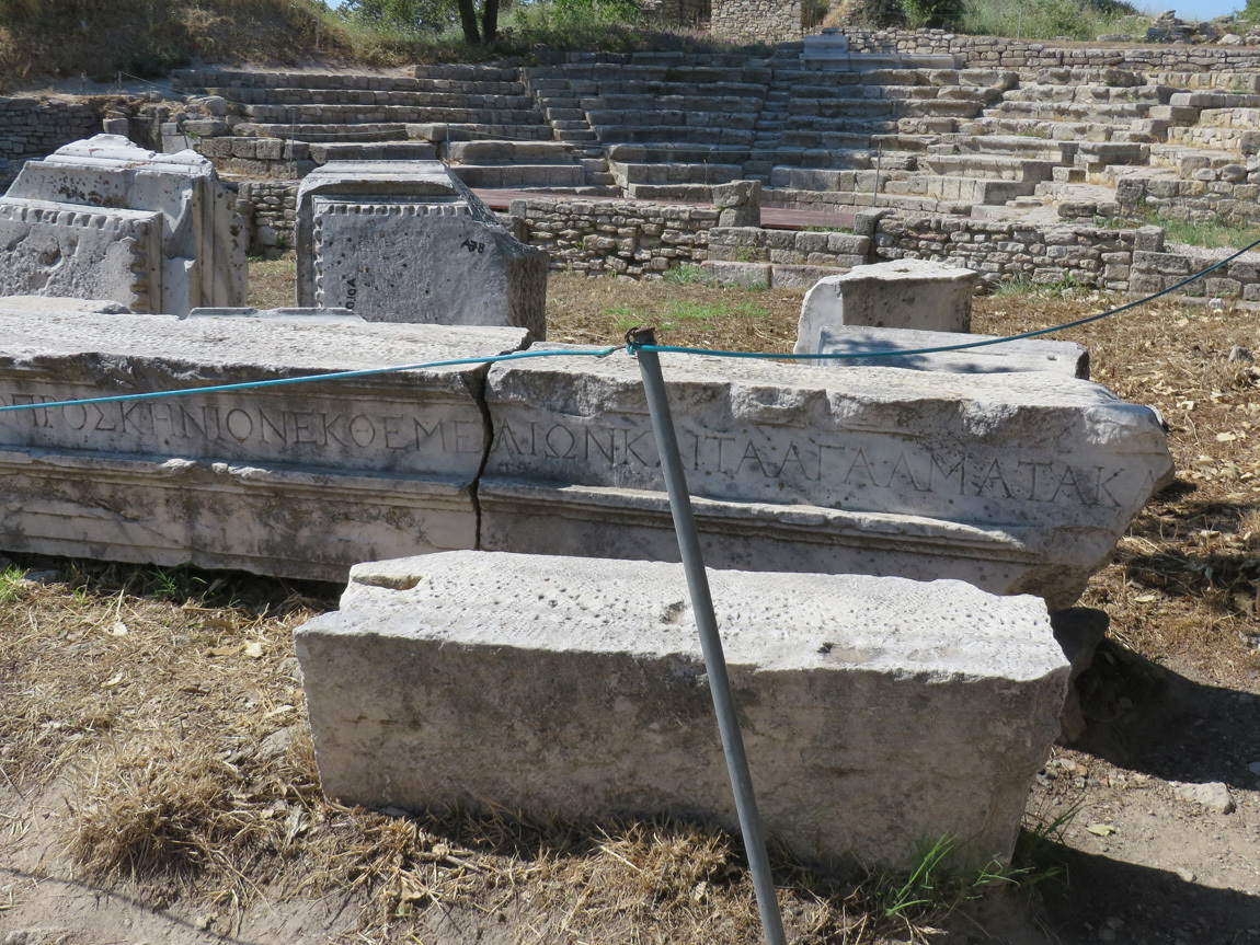
Below are photos of a Roman Odeion (similar to an ampitheater), intended for the presentation of musical performances. The Odeion has a semi-circular orchestra, with a skene (stage-building) in which stood an over-lifesize statue of the Emperor Hadrian (117-138 AD). The orchestra is bordered by a wall of limestone slabs above which rise tiers of seats constructed of large limestone blocks. Visible behind the Odeion are the Troia VI walls and Pillar House.

Odeion

Odeion

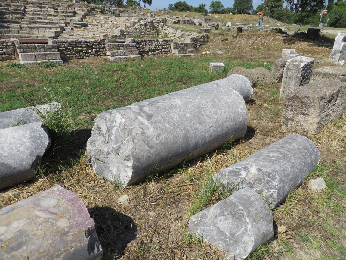
columns

Next to the Odeion were bath houses and an agora (market place), where the public life of the city was focused.

next to the Odeion

next to the Odeion

After only an hour, it's time to leave Troy. In the parking lot on the walk to the bus, I heard the familiar cooing of Eurasian Collared Doves. Only recently this species of bird has made it's way to Colorado.

Our next destination is a boutique hotel in Assos, a couple hours away. Another post.

Navigation:
first Turkey post
next blog entry