Archives

You are currently viewing archive for November 2013

26 November 2013

June 17: Antalya

We got back from our pleasant trip to Perge about 12:15. We had the option to go on a tour of old Antalya, but decided we wanted some time to explore on our own. So we packed up our swim suits and headed down to the sea.

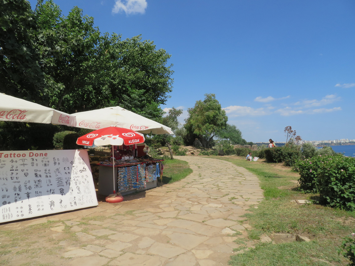
At the top of the sea cliffs, a pathway runs along the top of the cliff. Lots of restaurants, some fancy, and tourist stops.
Antalya

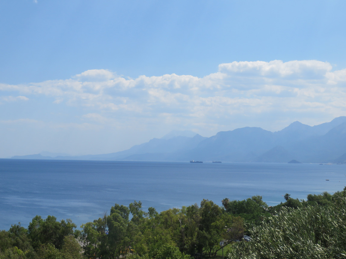
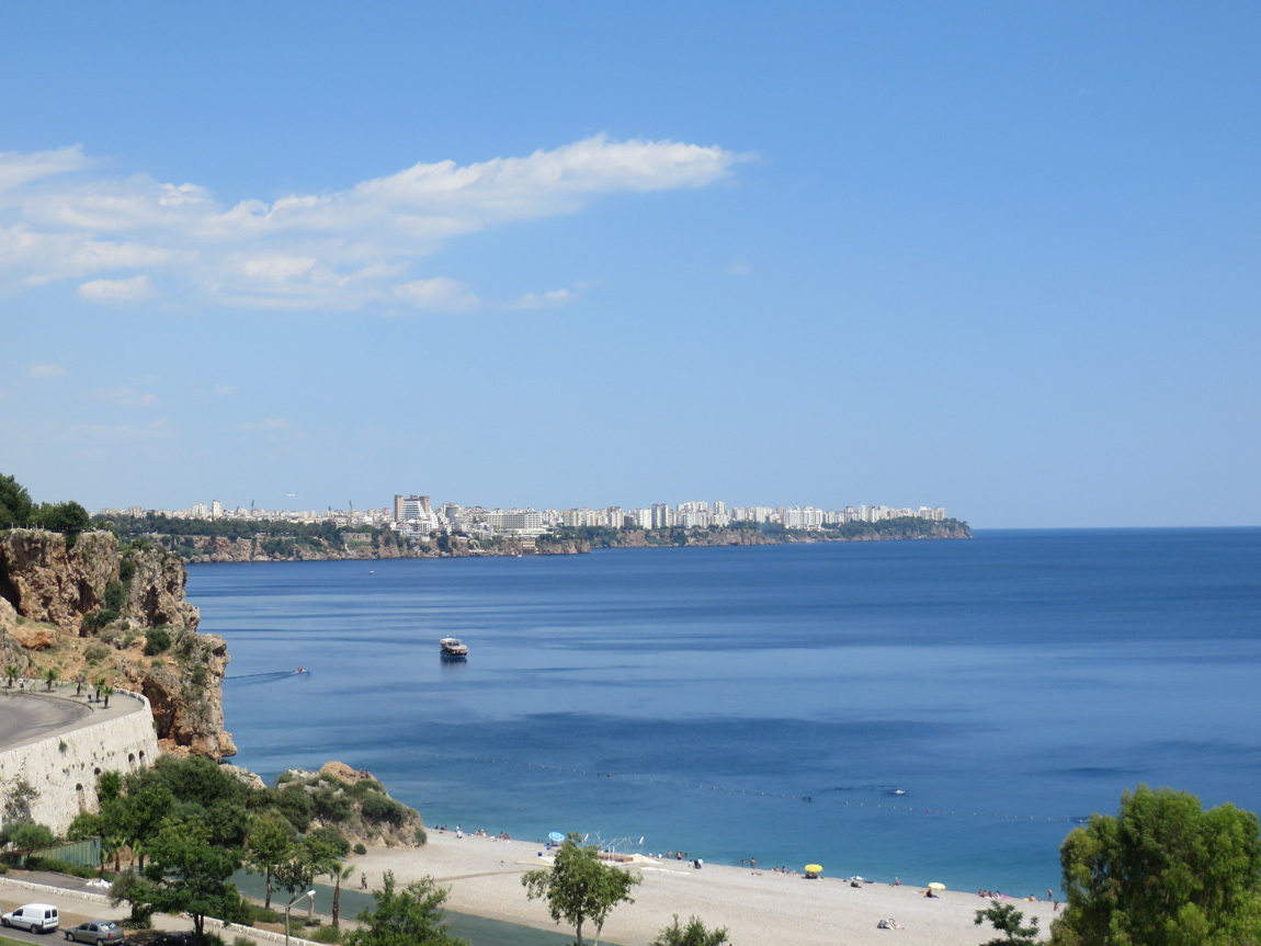
Here is the view to the left, of the buildings on the cliffs above the Mediterranean Sea.
Antalya

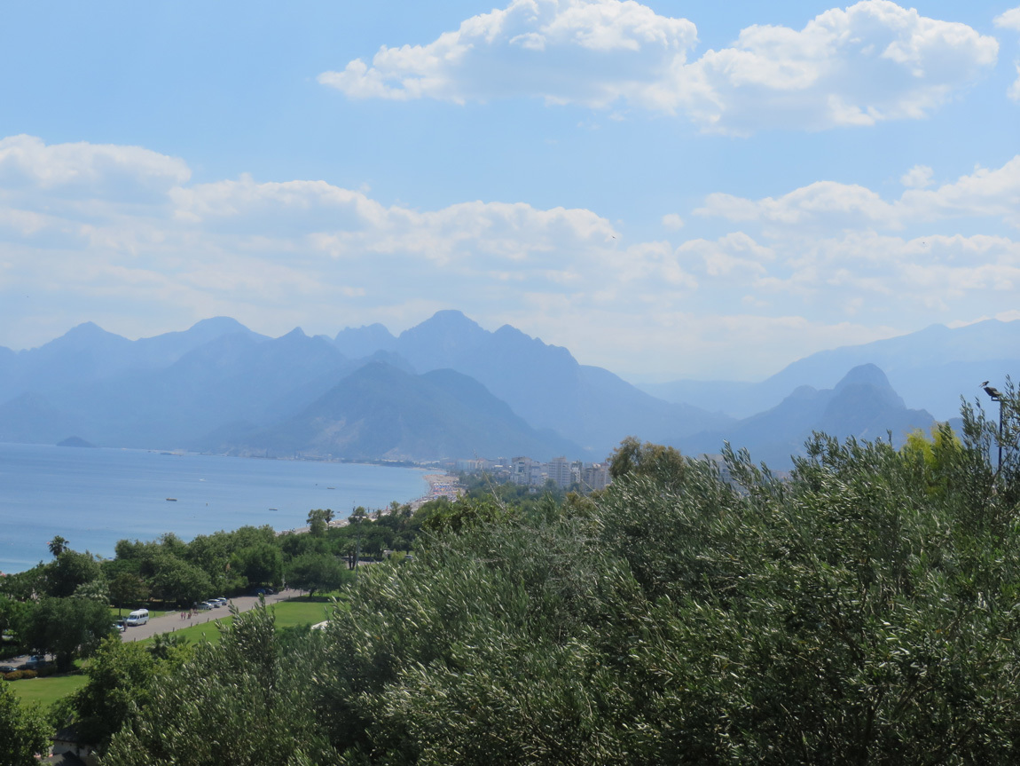
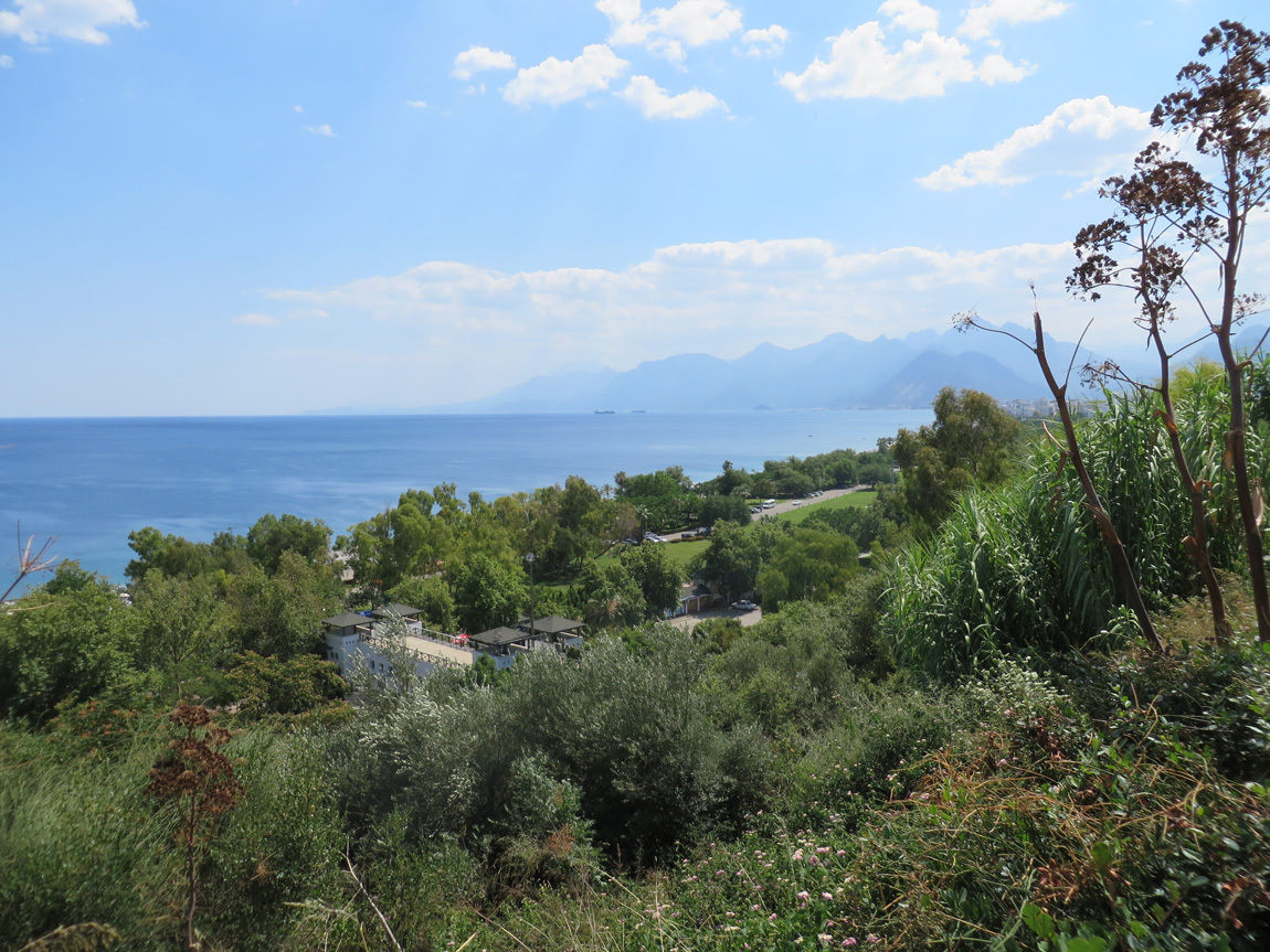
The view to the right, of the steep mountains that take off right at the shore.
Antalya

Antalya

Antalya

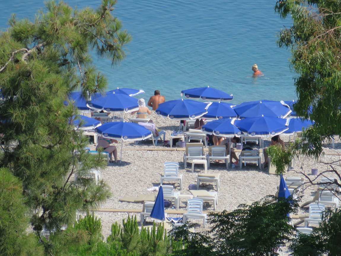
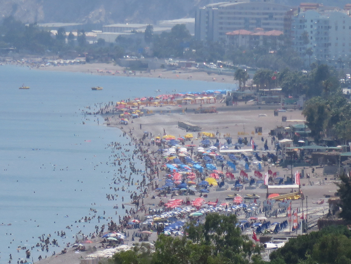
Zoom in on the people on the beaches.
Antalya

Antalya

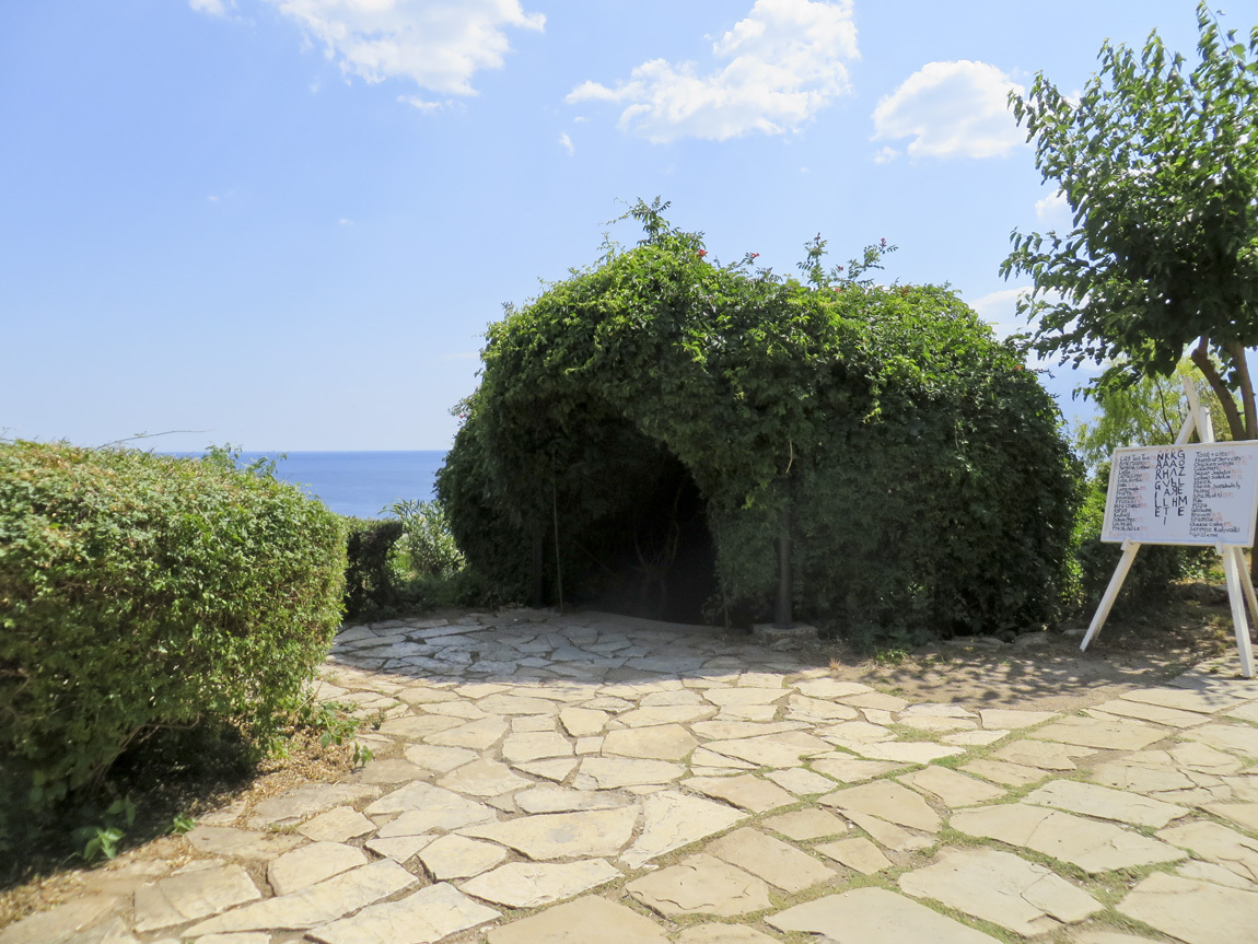
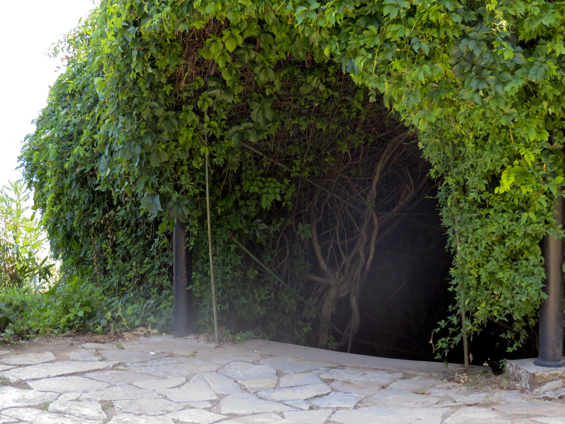
This is the cool entryway to the foliage-covered steps. The first time we came up to it, we had no idea it was the way down to the beaches, until we saw some Turkish people pop out of it.
Antalya

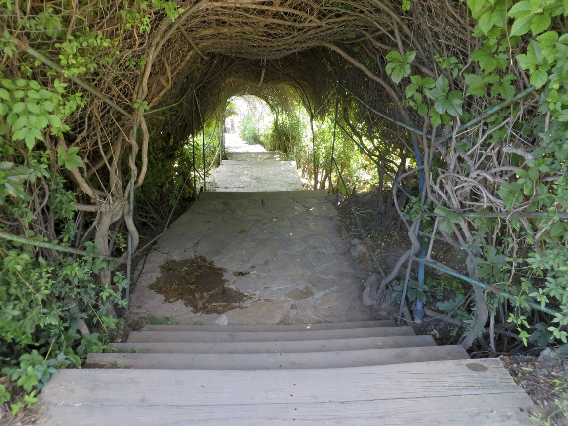
It was like entering a secret forest.
Antalya

After a couple flights of stairs there would be a landing with a couple shops, like for henna tatoos and street food. Then you descend another couple flights, and more shops.
Antalya

We were on a mission to get something other than kebabs and meze: like hamburgers! And we found them, great ones, fresh and perfect. And fries. And Efes beer.

We found a spot on the shore where chairs and umbrellas were for rent - 10 lira, a great deal. We put down our towels and - how wonderful! - a young man came to sell us cold beers! The beach was made of big hot pebbles instead of sand. The water was heavenly and warm and clear and the views spectacular. When we swam close to the beach, we felt cold water mixing with the warm sea water. Must be from undergound streams from the tall mountains. It was an amazing spot.

I could have stayed several more days enjoying that beach. But alas, this is our last day in this lovely spot.

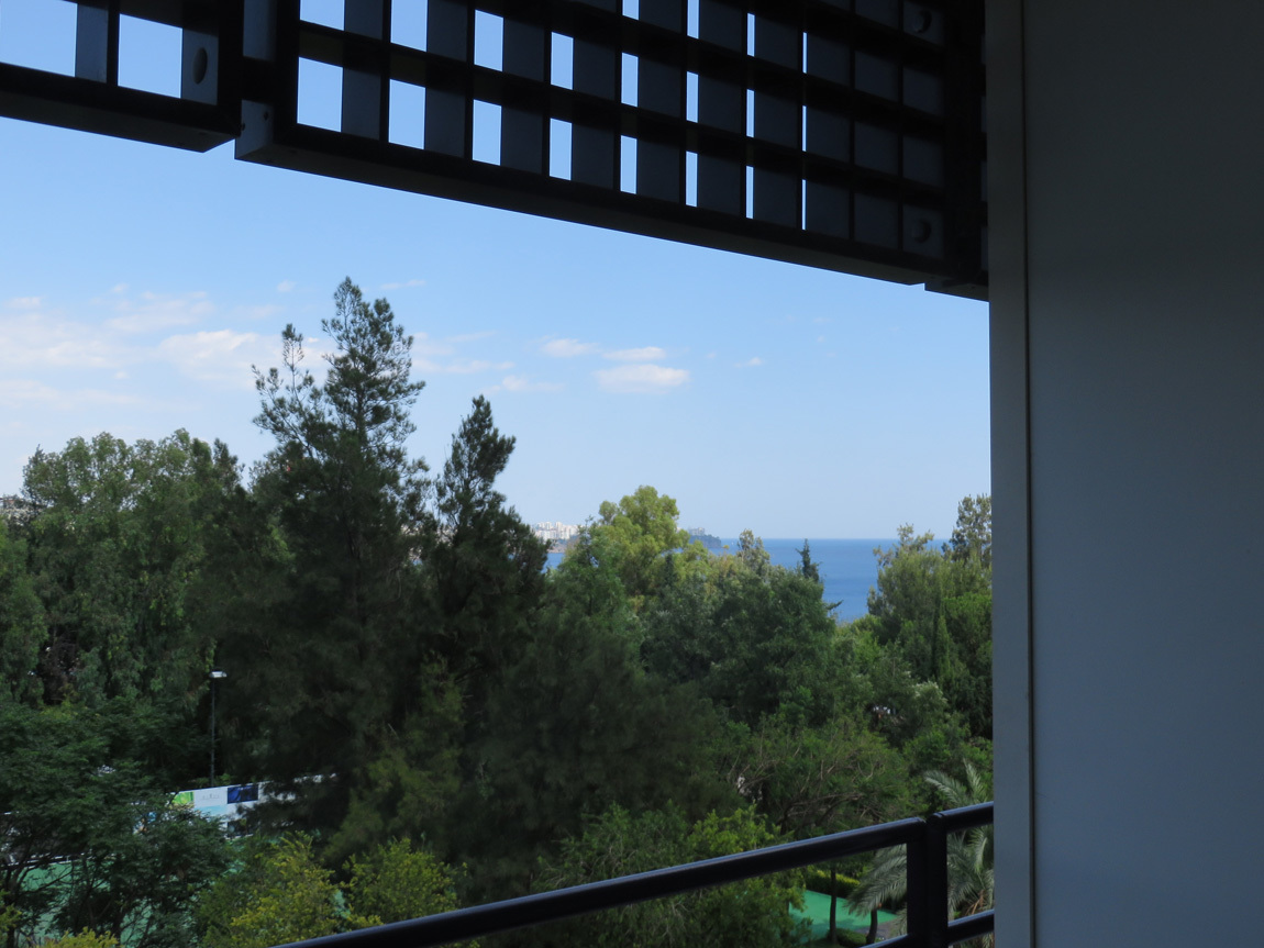
We do have one more treat left in store, though. Our farewell dinner. We ready ourselves in our hotel room. Here is the view:
Antalya

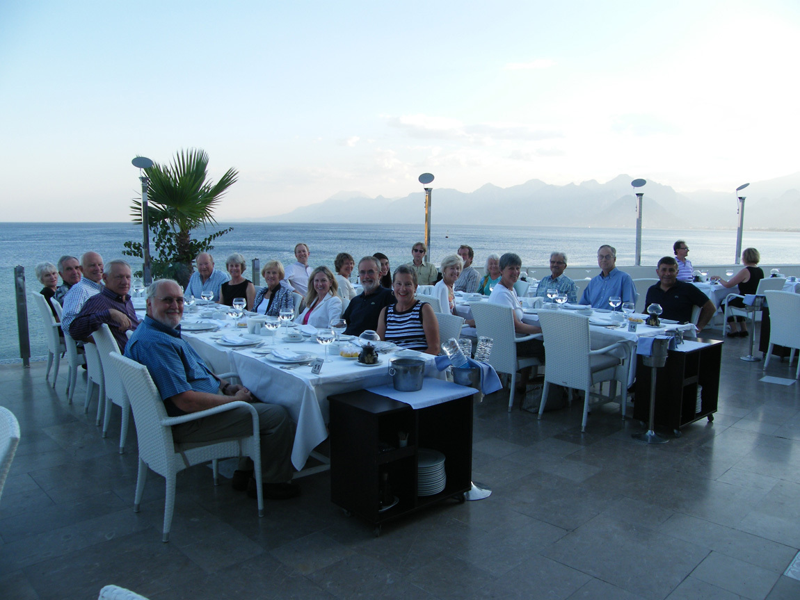
For the Oddysey Farewell Dinner, Ali took us to a restaurant high on the cliffs with a grand view of the resort area. The food was over-the-top great, from meze to dessert. We had entertainment from friends of Ali, who used to be a Turkish folk music performer himself. Then they projected "Go Colorado Buffalos" on the bank of cliffs behind us. Luckily, one of our tour members had a photo taken of all of us. What a time.
farewell dinner from Linda

A perfect ending to a near-perfect tour. Thank you Oddysey, thank you Ali.

Navigation:
first Turkey post
25 November 2013

June 17: Perge

Breakfast at the Rixos was once again the huge, varied breakfast buffet that seems the norm in good European-style hotels in Turkey. Never seen the like in the US. Maybe we just choose cheap hotels for ourselves. Thank you Odyssey, for making us go to five star hotels.

Our last day in Turkey. Today we visit Perge, on the outskirts of Antalya. Perge is almost as amazing as Ephesus, but nowhere near as crowded. It was hot, but there was a nice breeze, and some shady trees.

Perge (or Perga) was a city for over a thousand years. Established in about 1000 BC, it flourished during the Roman period, the time of Alexander the Great (356-323 BC). Perge was a viable metropolis until the thirteenth century.

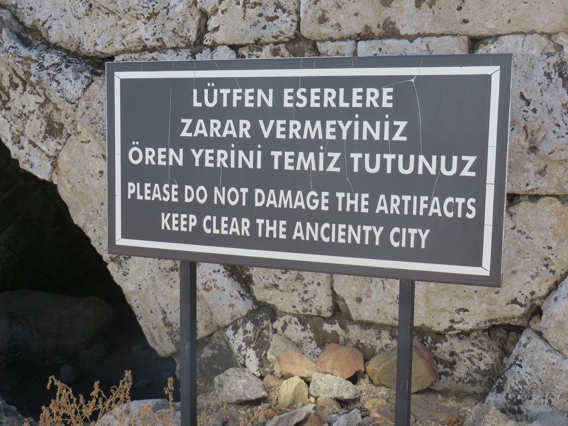
The sign at the entrance. "Keep clear the ancienty city". Love it.

sign

Walking to the ancienty theater.

Perge

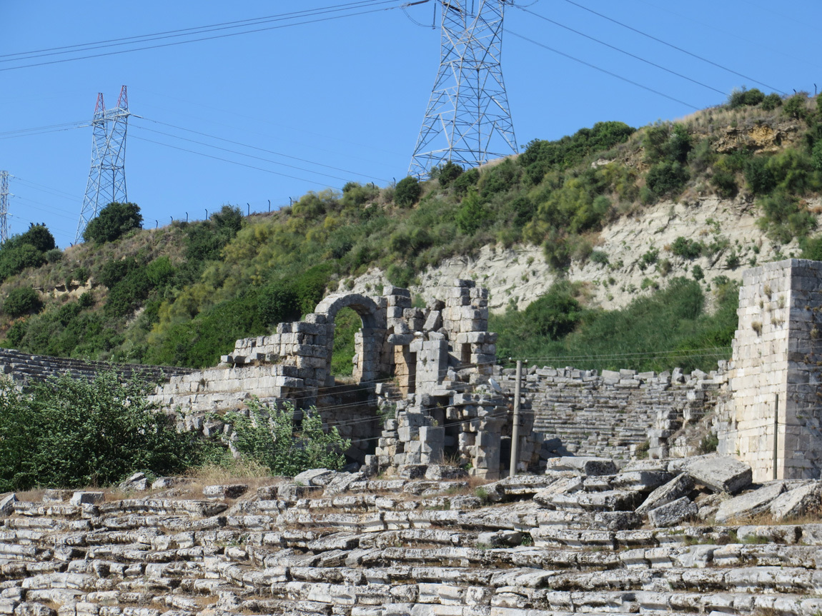
Ruins and power lines.

Perge

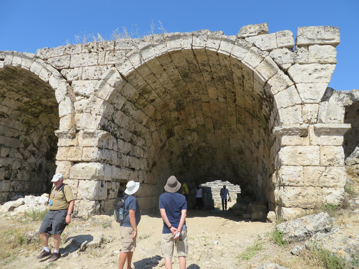
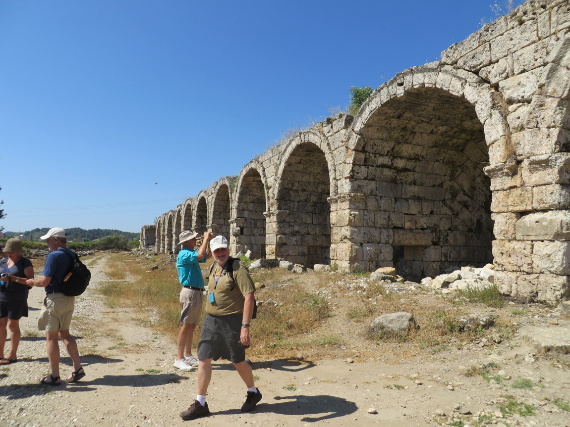
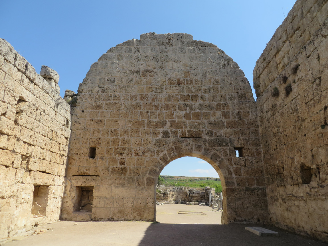
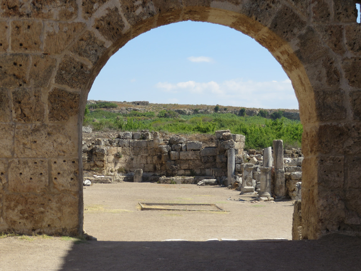
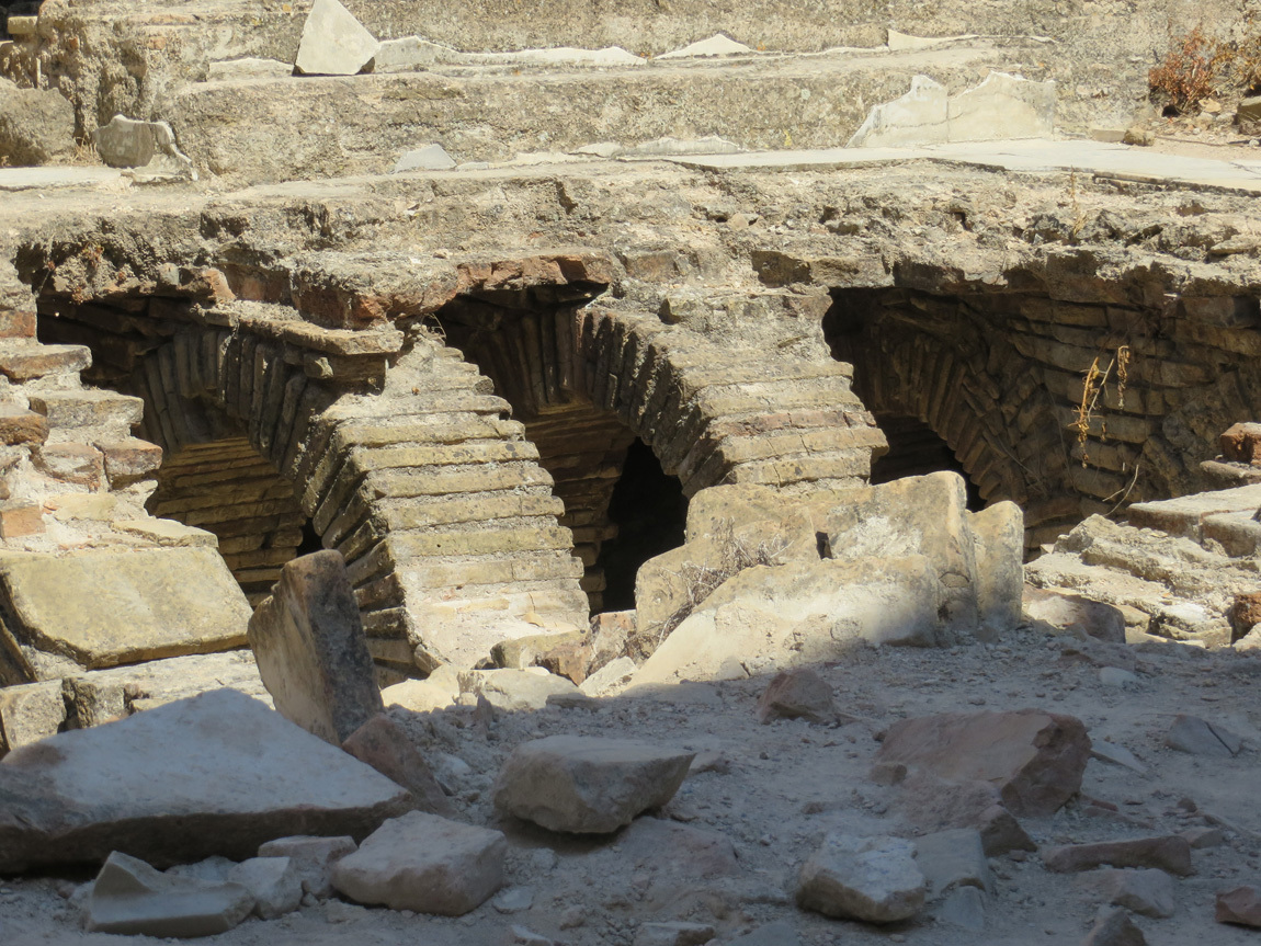
Archways into the stadium area. Some of the archways end not in a passageway, but in a niche or a room.

Perge

John starting through an archway. Back in the times of old, he would have handed a token to pass through the passageway to attend the games.

Perge

Archways and niches.

Perge

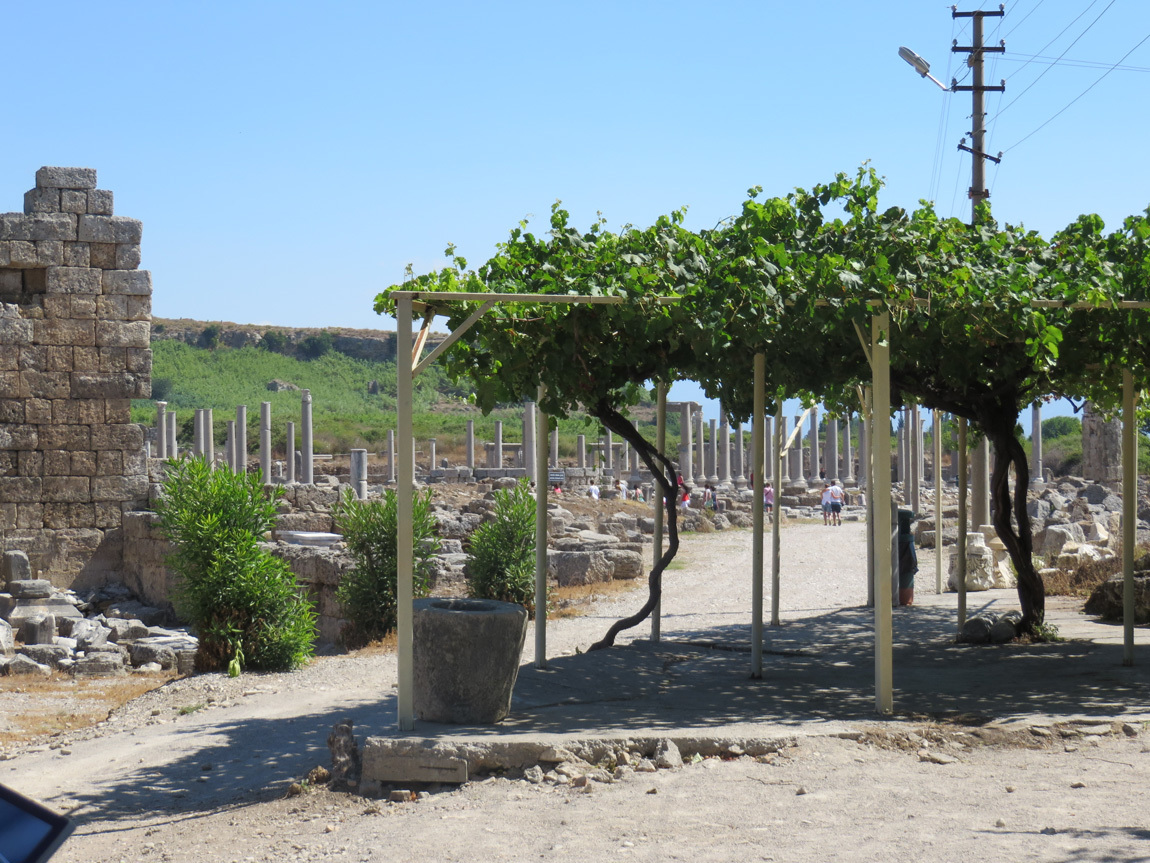
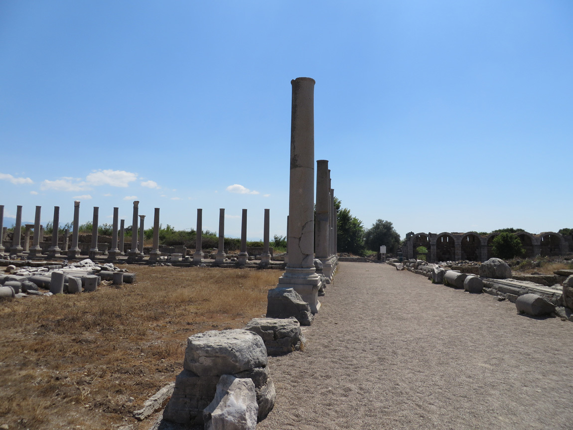
I like the trees and the columns.

Perge

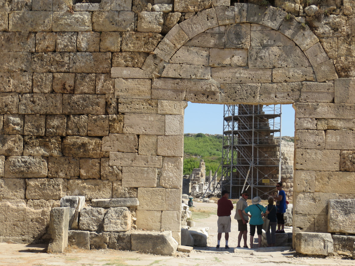
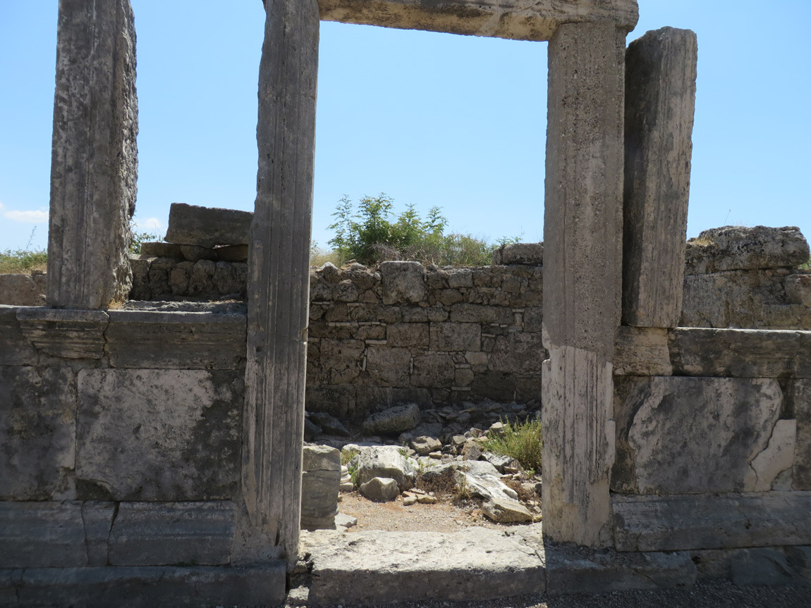
This is one of the doors into the ancient city. It dates to the Roman and Hellenistic times, about 3-4 AD.

Perge

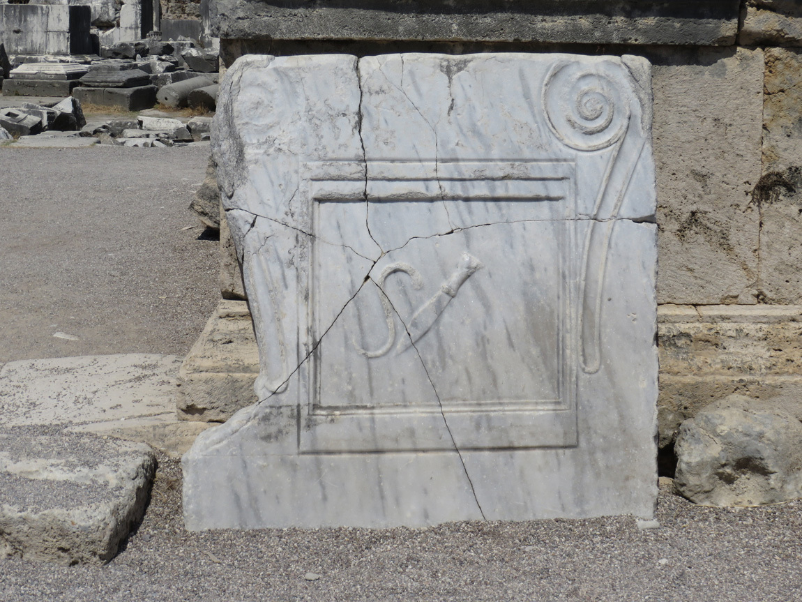
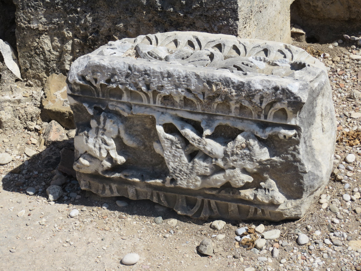
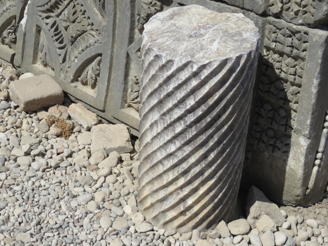
Detail work:

Perge

Perge

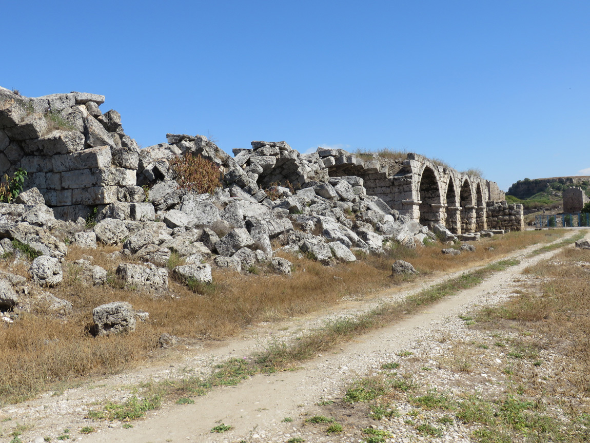
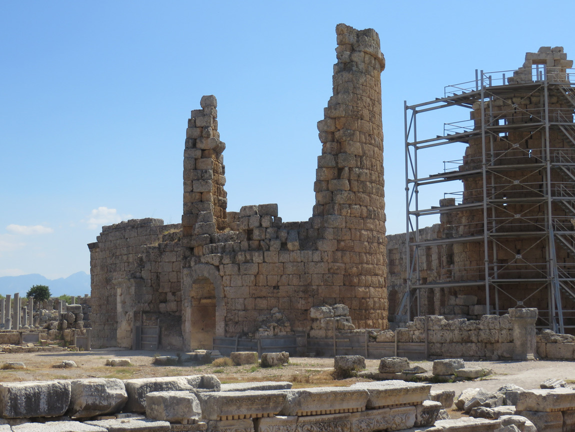
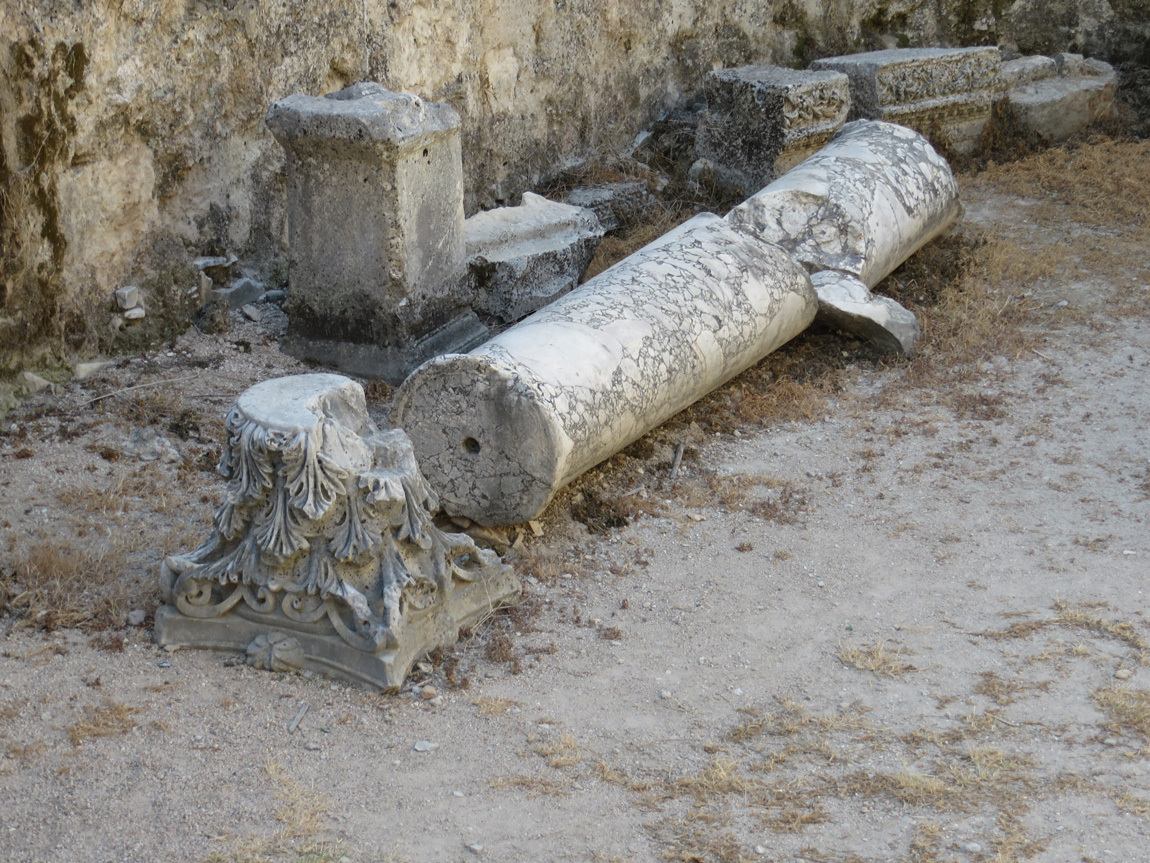
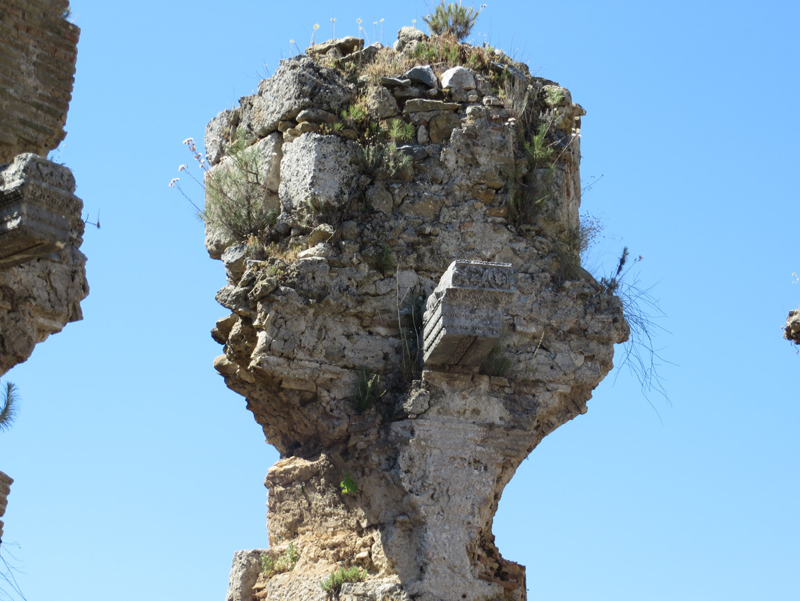
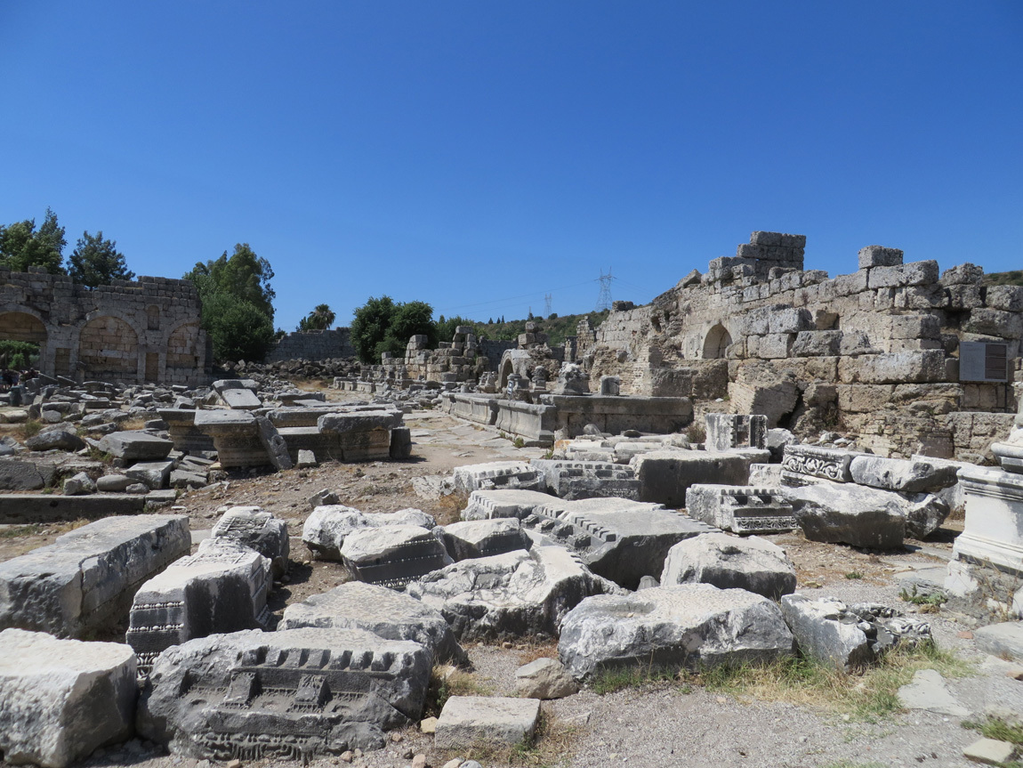
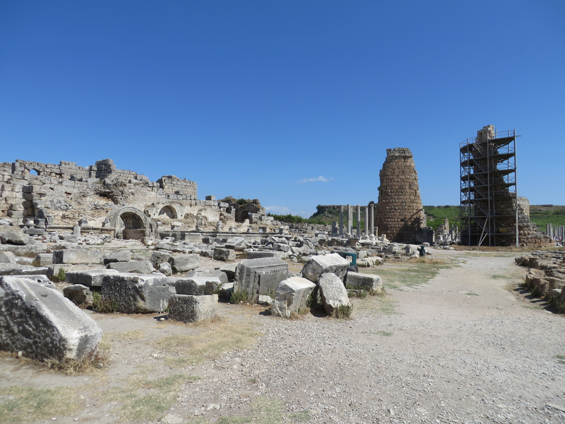
Many of the sculptures that decorated the area are now in the Antalya Museum. Below is a photo of a field of pieces of the structures and columns and part of a building with archways. Also notice the restoration efforts of one of the towers.

Perge

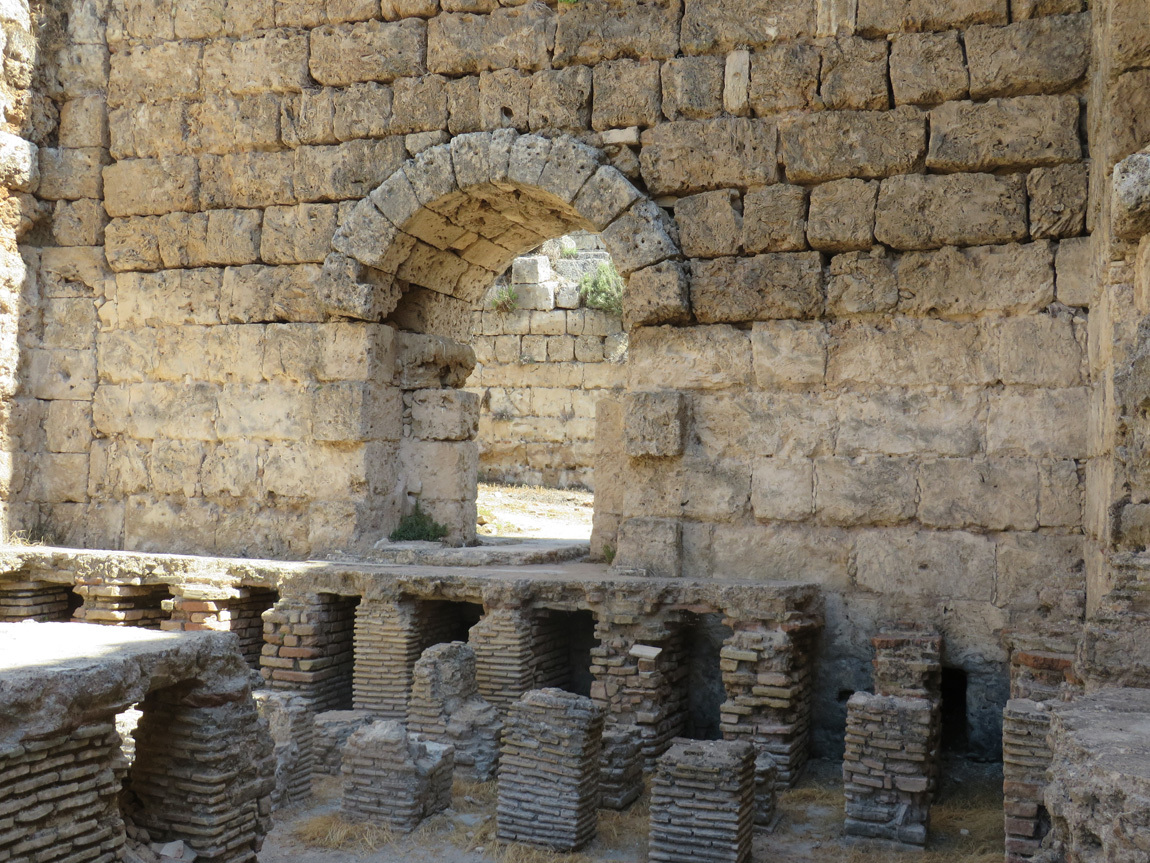
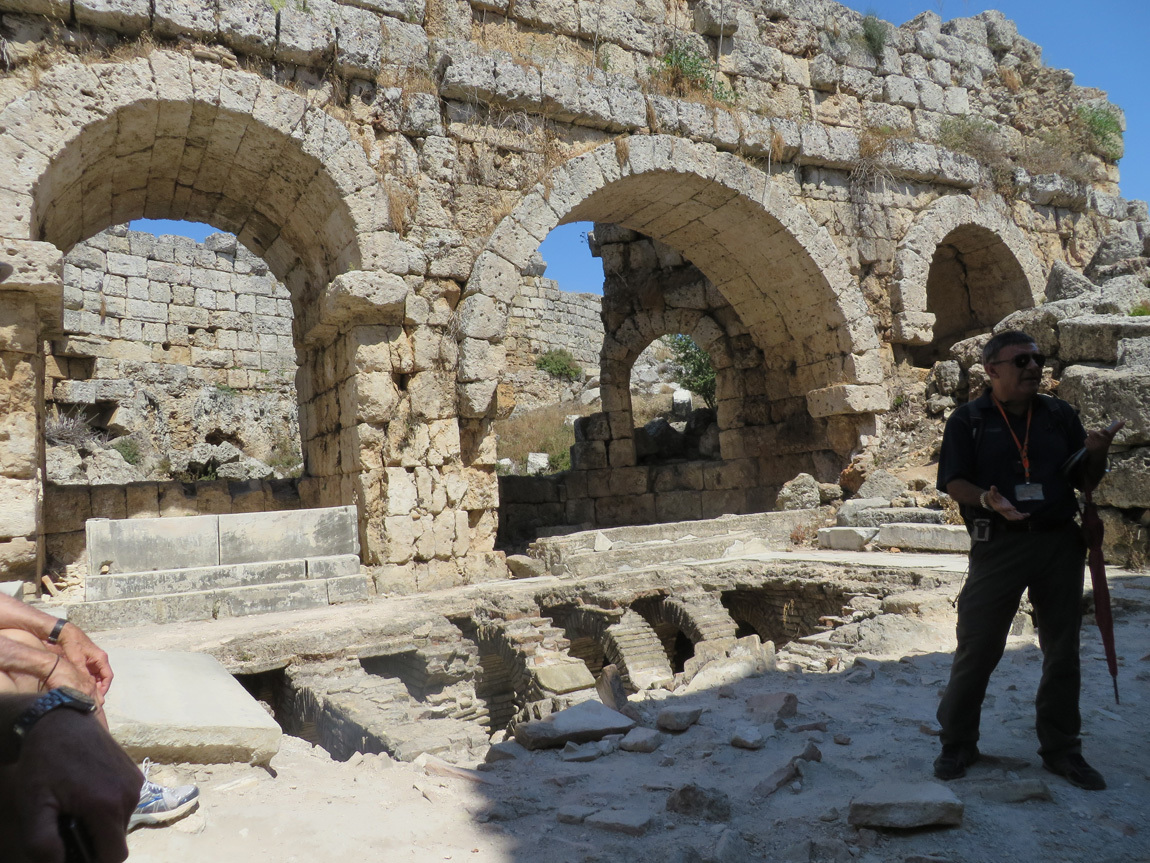
This building is called a palaestra, a rectangular court surrounded by columns. The palaestra has rooms where athletes would train and all would gather to socialize. We saw rooms where they trained, dressed, and storage rooms for clothes and sundries. There were hot, warm, and cold baths. Rooms for great feasts, and then rooms where they purged their food so they could eat more. (This room for purging, vomitorium, is somewhat disputed when I try to Google for more information, although Ali told us it was so.)

Perge

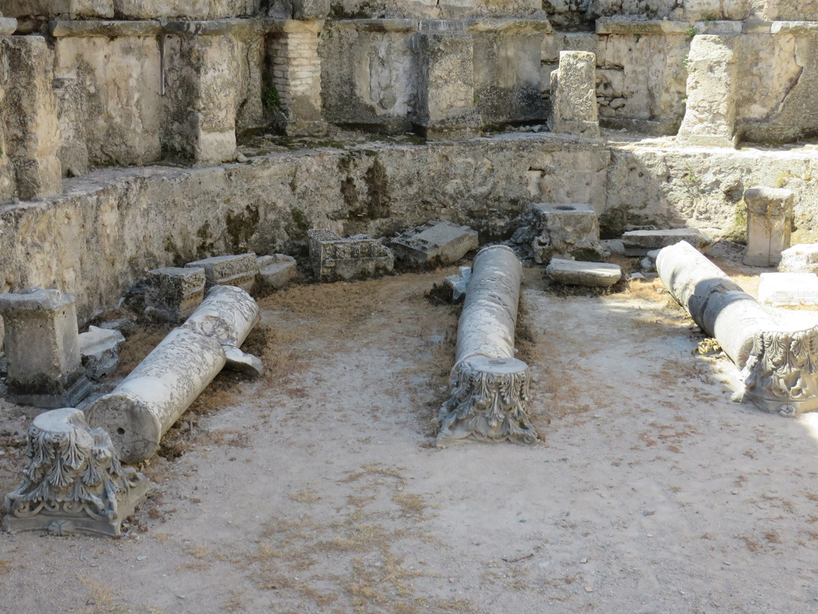
One of the pools.

Perge

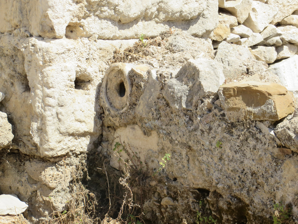
Pipes for water.

Perge

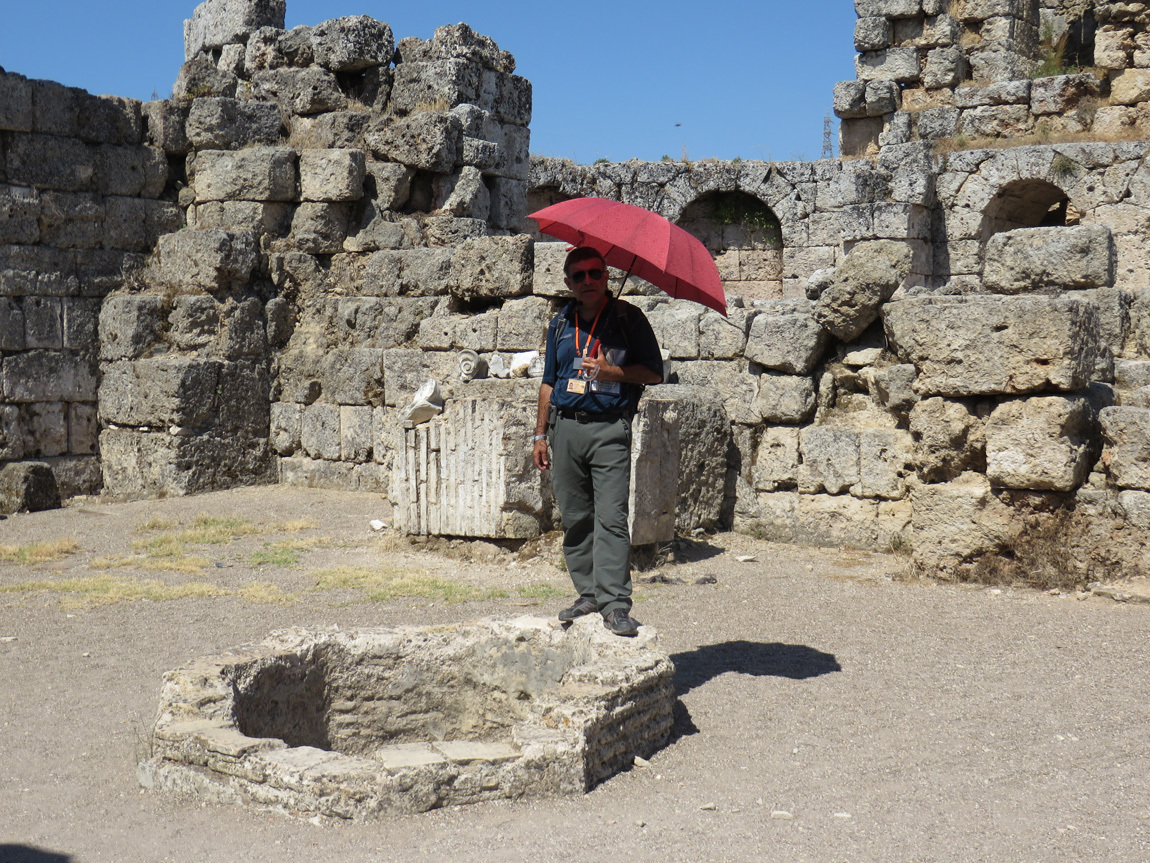
Dipping pool for athletes.

Perge

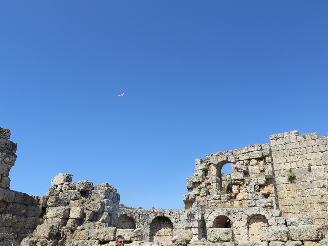
The old and the new: a jet above the ruins.

Perge

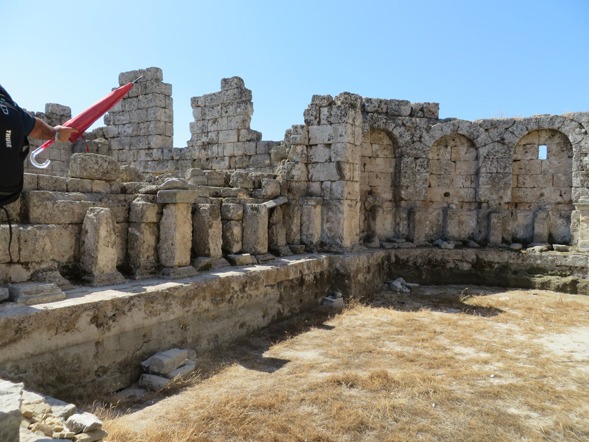
Pool area.

Perge

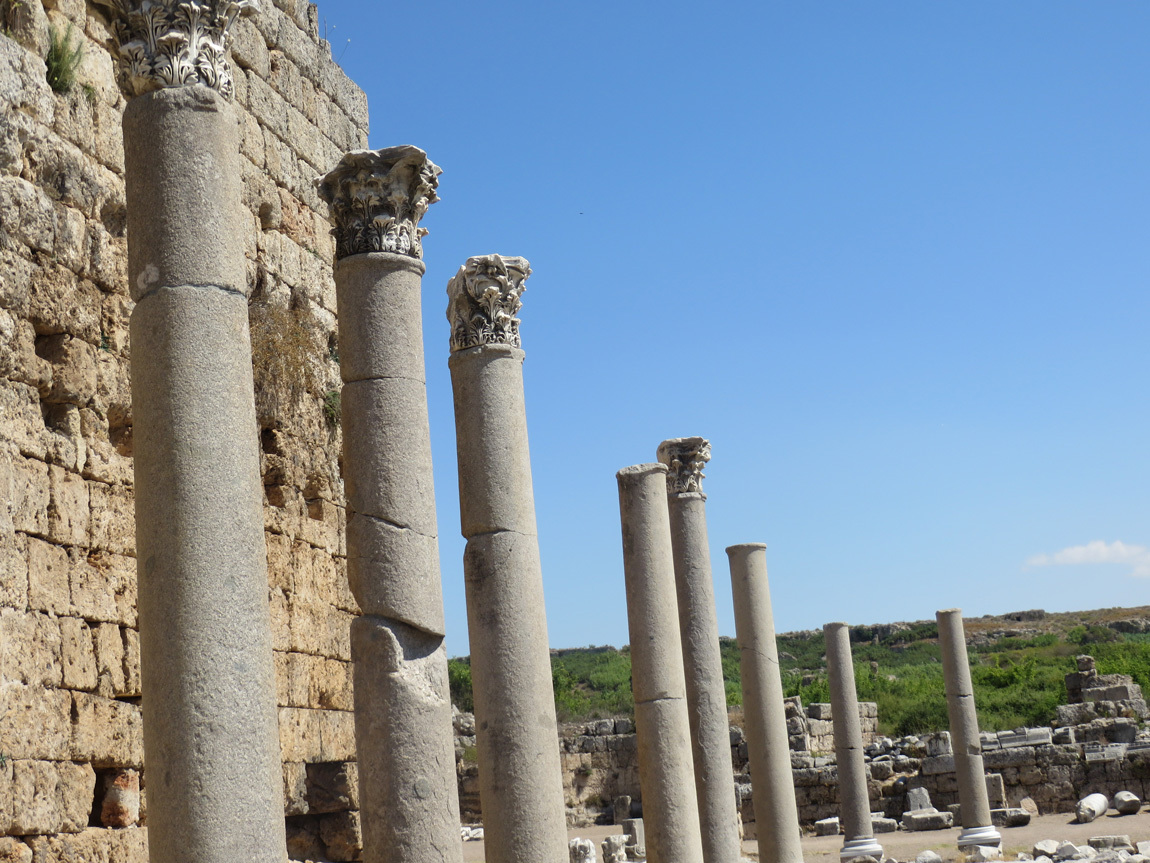
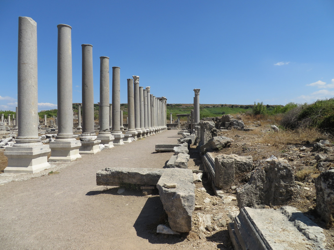
Columns.

Perge

Tower.

Perge

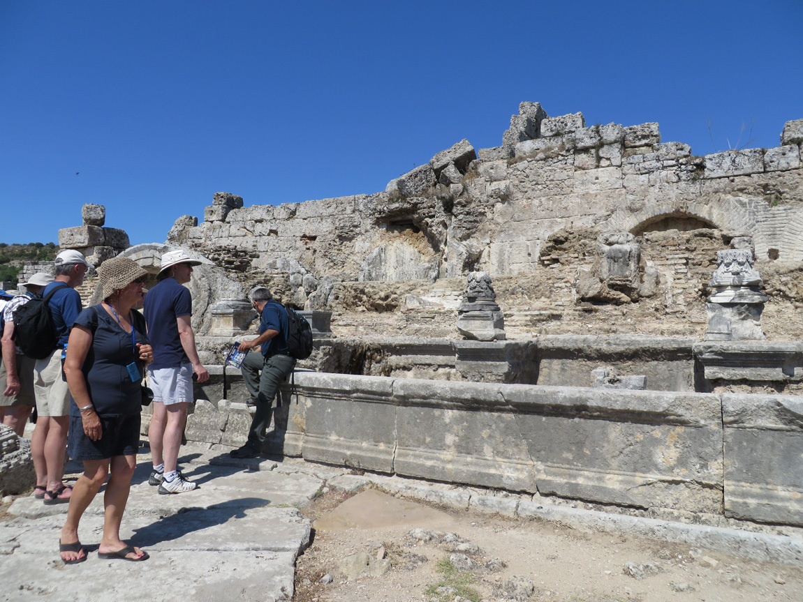
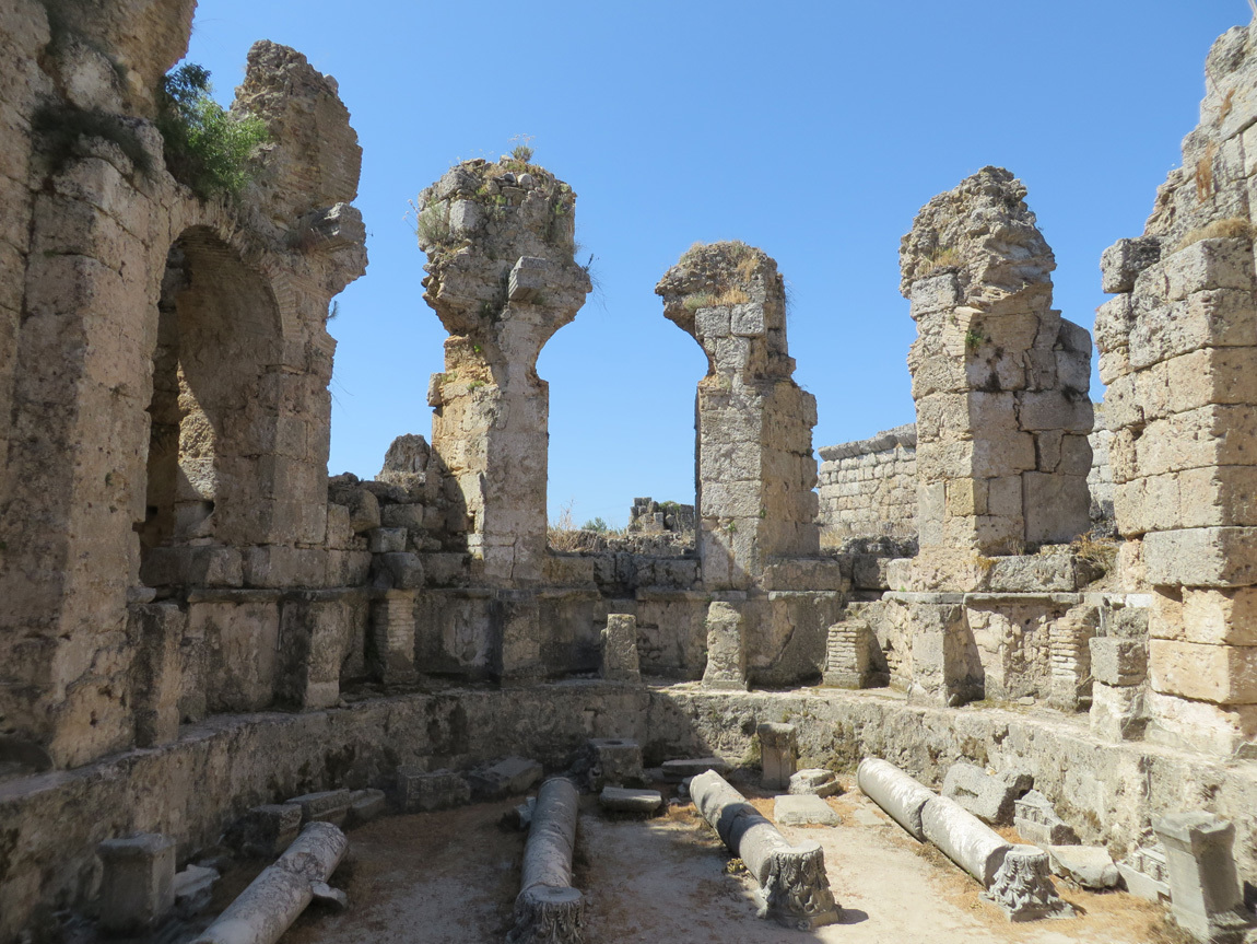
All of these ruins were buried by time. On the top of these half-downed structures, you can see earth and grasses growing.

Perge

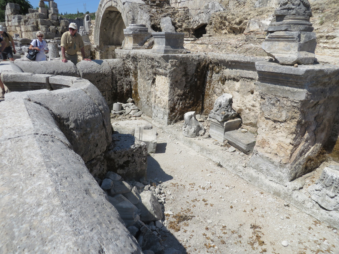
Amazing what they found under the dirt.

Perge

Perge

Earth on top of building.

Perge

From inside the palaestra.

Perge

Perge

Perge

From a sign:

Rooms that served different functions like the dressing room (apodyterium), cold bath (frigidarium), warm bath (tepidarium), hot bath (caldarium), and exercise area (palaestra) were lined side by side and offered maximum utility to the bathers who had the chance to pass from one room to another of their choice. The heating system (hypocaust) can be seen beneath the pavement of some rooms today. The south baths in Perge also included rooms for intellectual activities, thus preserving the traditions of the Greek gymnasia.

Perge

Perge

The yard outside the palaestra.

Perge

Columns.

Perge

Perge

This was once a small store, or stall, where goods were sold.

Perge

What do you think was sold at this stall?

Perge

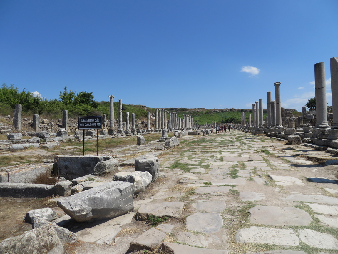
Water canal from the Roman age, and the remains of a road.

Perge

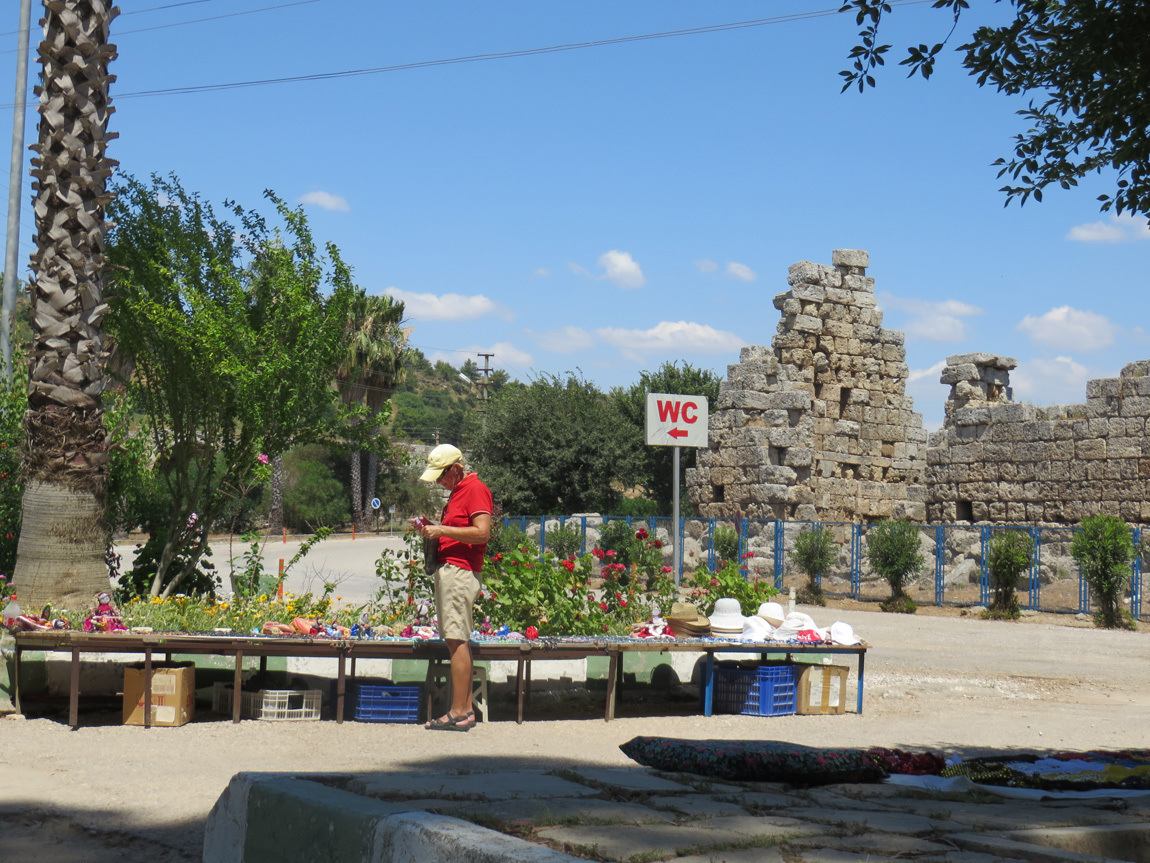
After two hours at Perge, it's time to make our way back to the bus. And of course first, the WC.

Perge

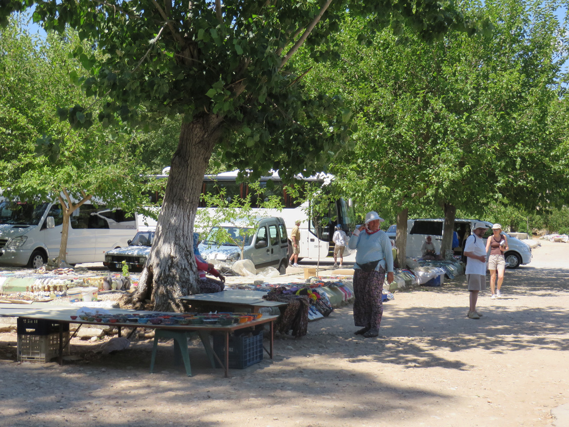
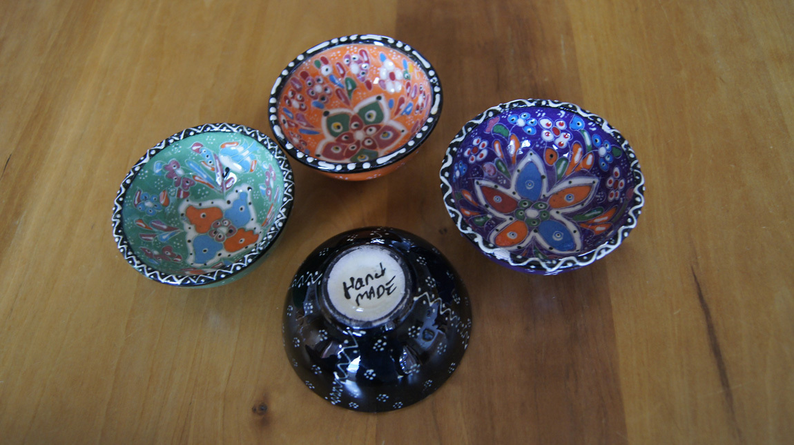
I spent a few dollars on some small souvenir bowls to use for mese en place.

Perge

bowls

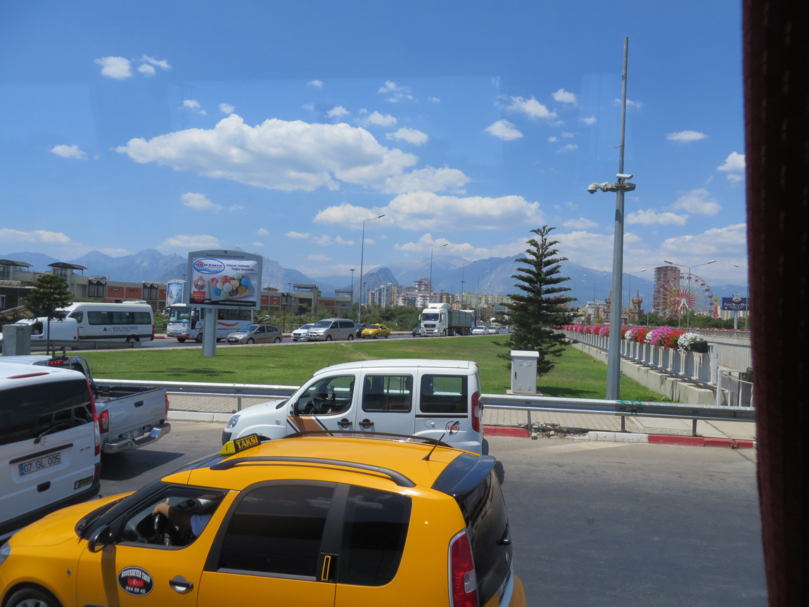
Perge was a great way to end our tour of the ruins in Turkey. Now it's time for the bus and the short trip back to our hotel in Antalya. Here is the pretty skyline:

Perge

Navigation:
first Turkey post
next Turkey post

24 November 2013

June 16: Fethiye to Antalya

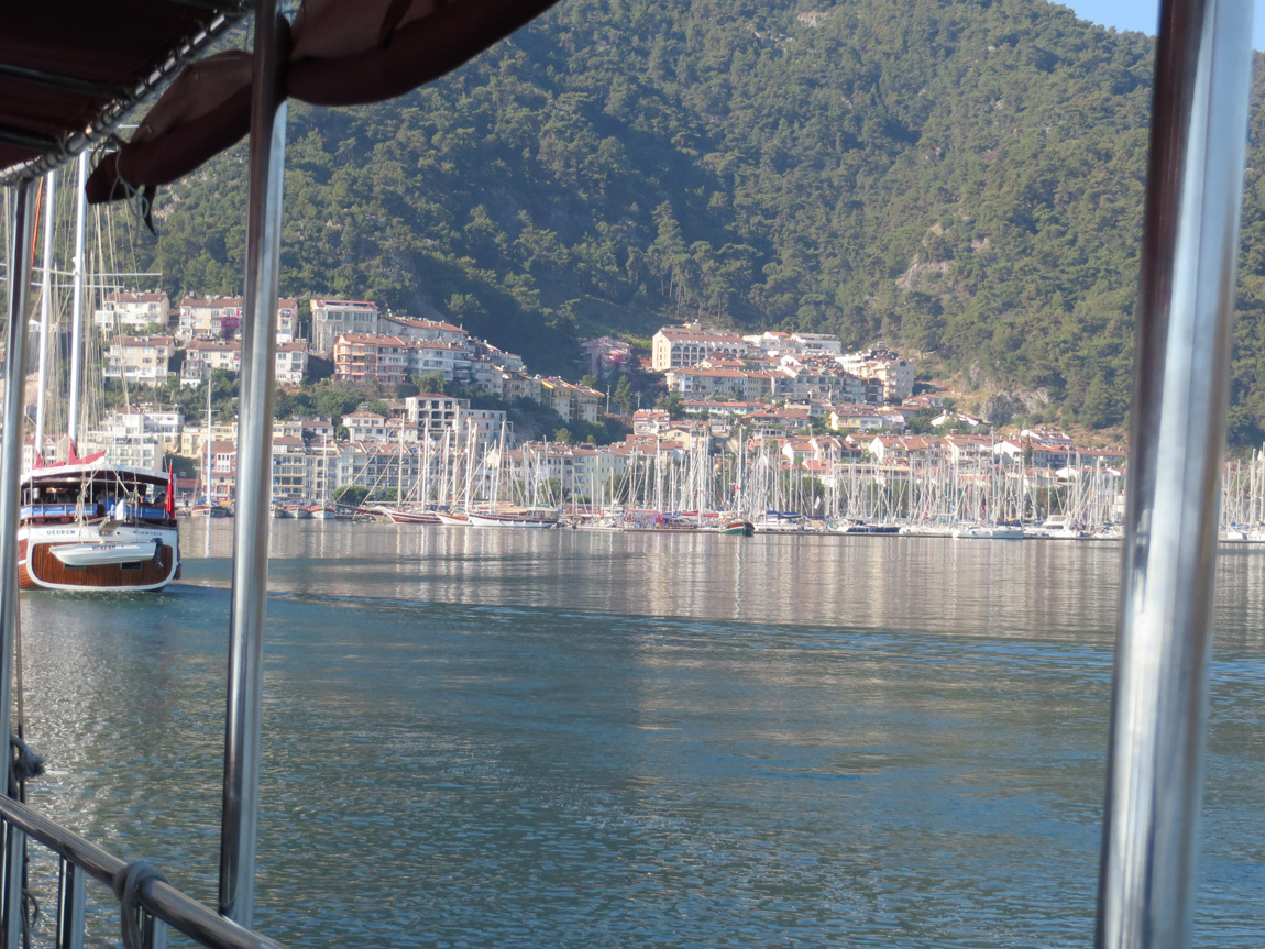
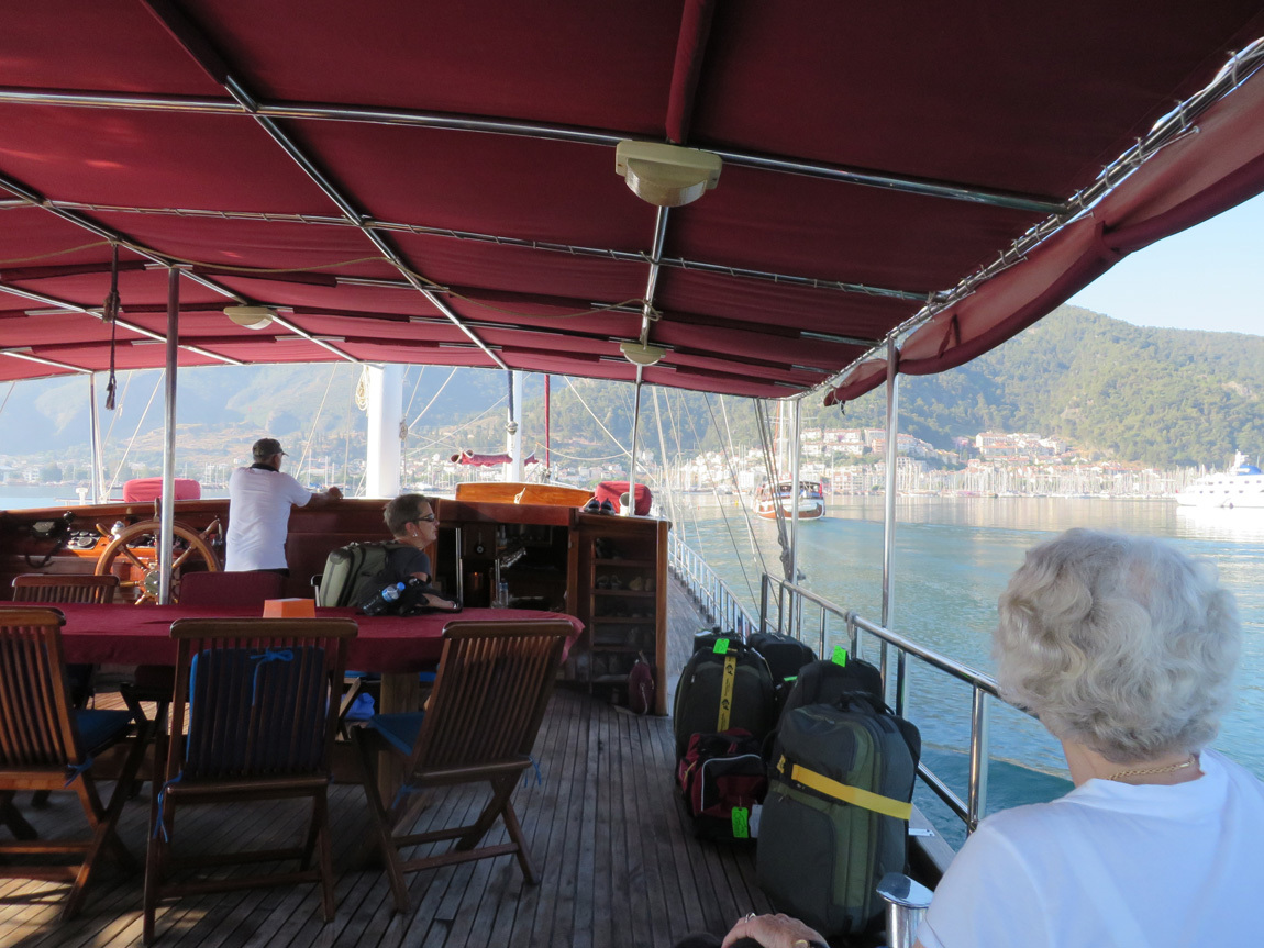
Sadly, we took our last short jaunt on the gulet.

last gulet trip

last gulet trip

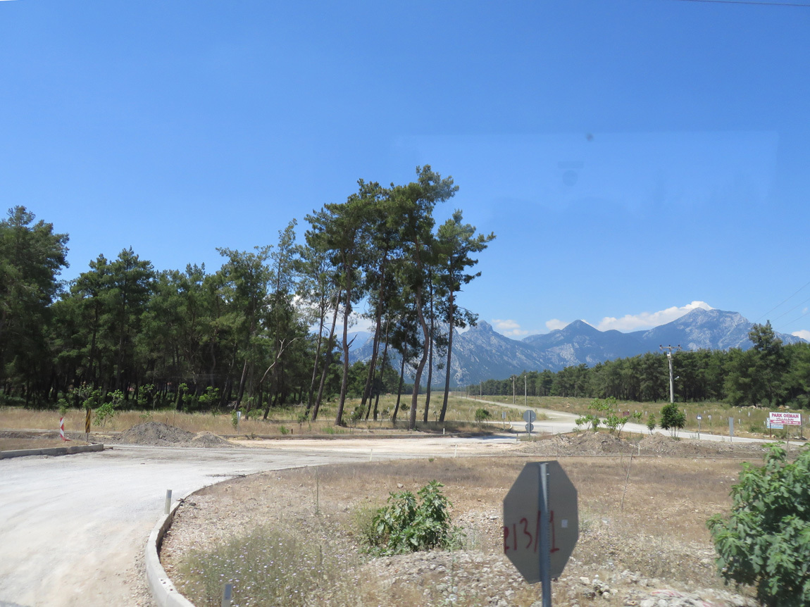
We disembarked and picked up our recovering tourmate from the hospital. By 9 am, we were on the bus bound for the resort town of Antalya, over 3 hours (about 100 miles) away. The highway skirted the snow-capped Taurus Mountains that rise sharply from the fertile plains of the Anatolia peninsula. We passed more marble quarries, and a lot of road construction.

travel to Antalya

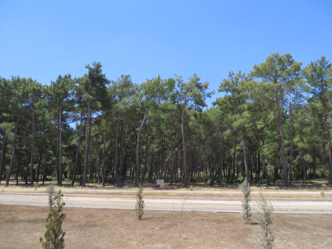
These are the neatest pine trees.

travel to Antalya

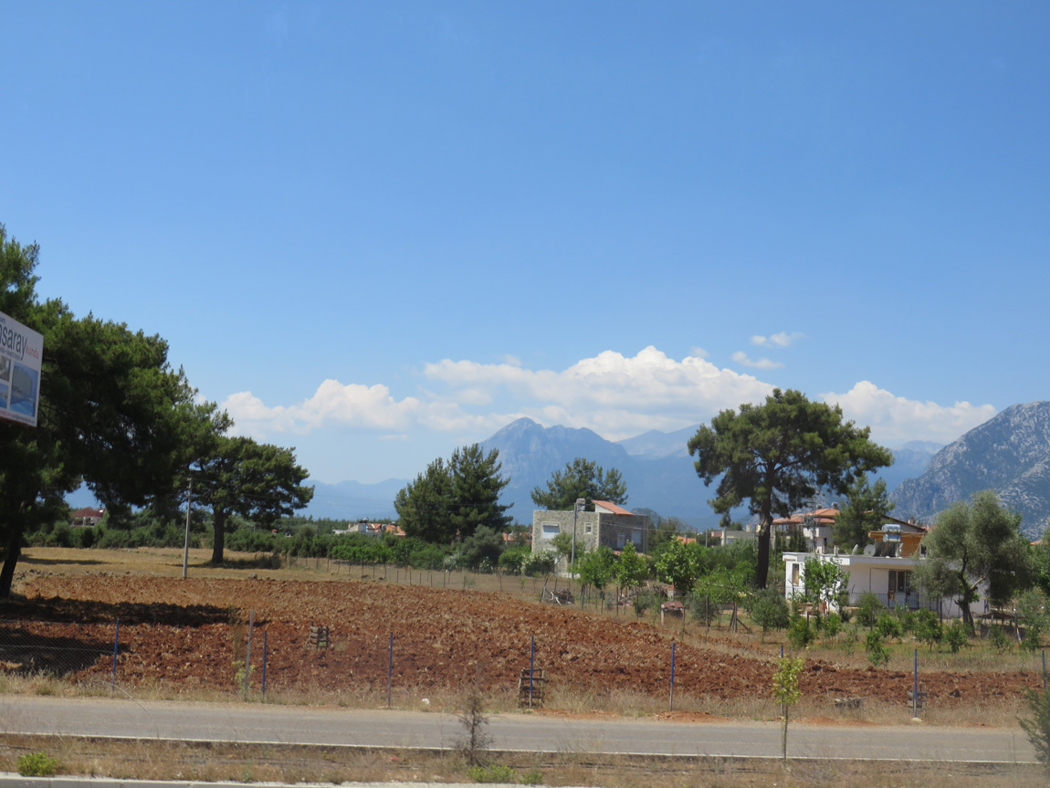
The view.

travel to Antalya

As we viewed the fertile lands of Turkey, Ali talked about Turkey working to join the European Union (EU) and the impact this has had on agriculture. To join the EU, Turkey must enforce the "Seed Law", which regulates what seeds can be sold and planted. Many farmers believe that their own seeds, derived from centuries of tradition, grow better tasting and sturdier plants, and keep necessary diversity in crops. Read more if you are interested in this controversial topic.

We arrived in Antalya a little after noon and enjoyed lunch with our group at a restaurant overlooking the Mediterranean. Mountain peaks rise dramatically straight up from the sea. Our meal was kabobs and meze, fruit for dessert, "same old same old", but these were about the best we had on the entire trip.

Before we checked into our hotel, we visited the Museum of Archeology.

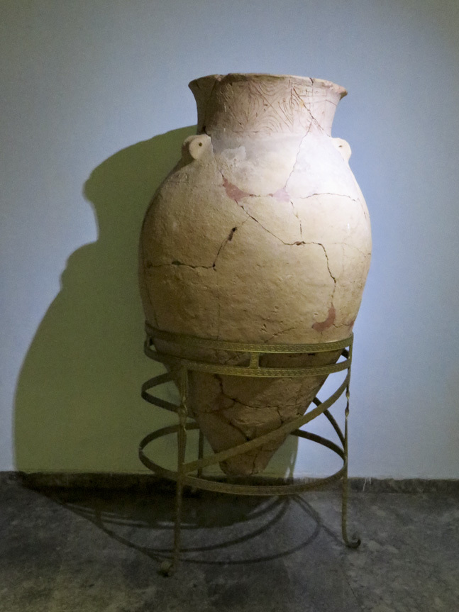
Burial jar:

Antalya Museum

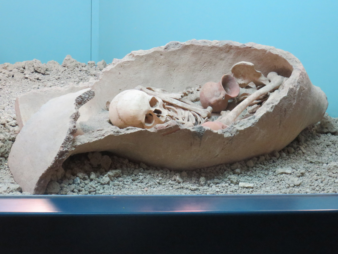
Bones in a burial jar.

Antalya Museum

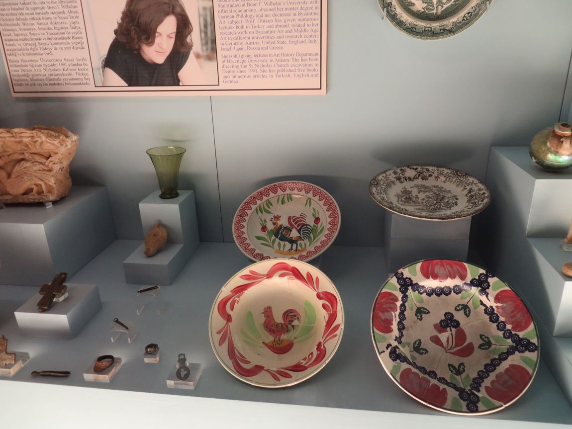
Plates - with chickens: I couldn’t resist a photo.

Antalya Museum

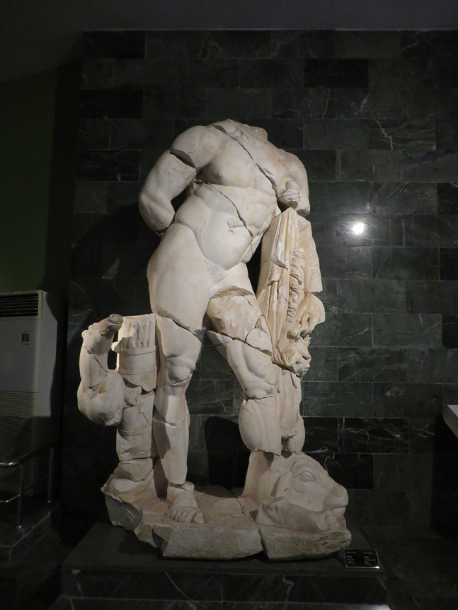
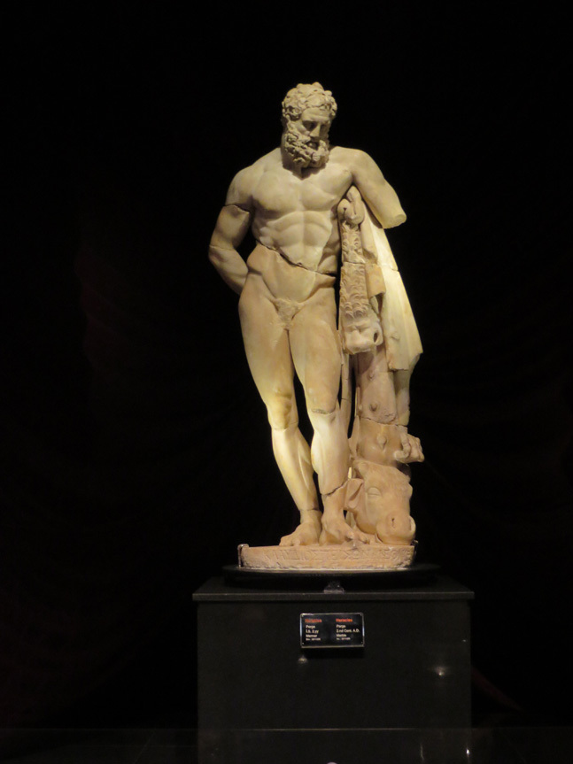
Heracles.

Antalya Museum

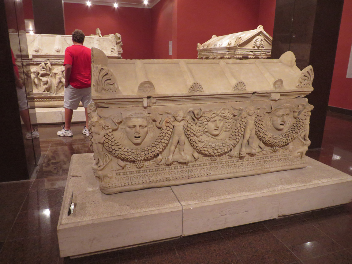
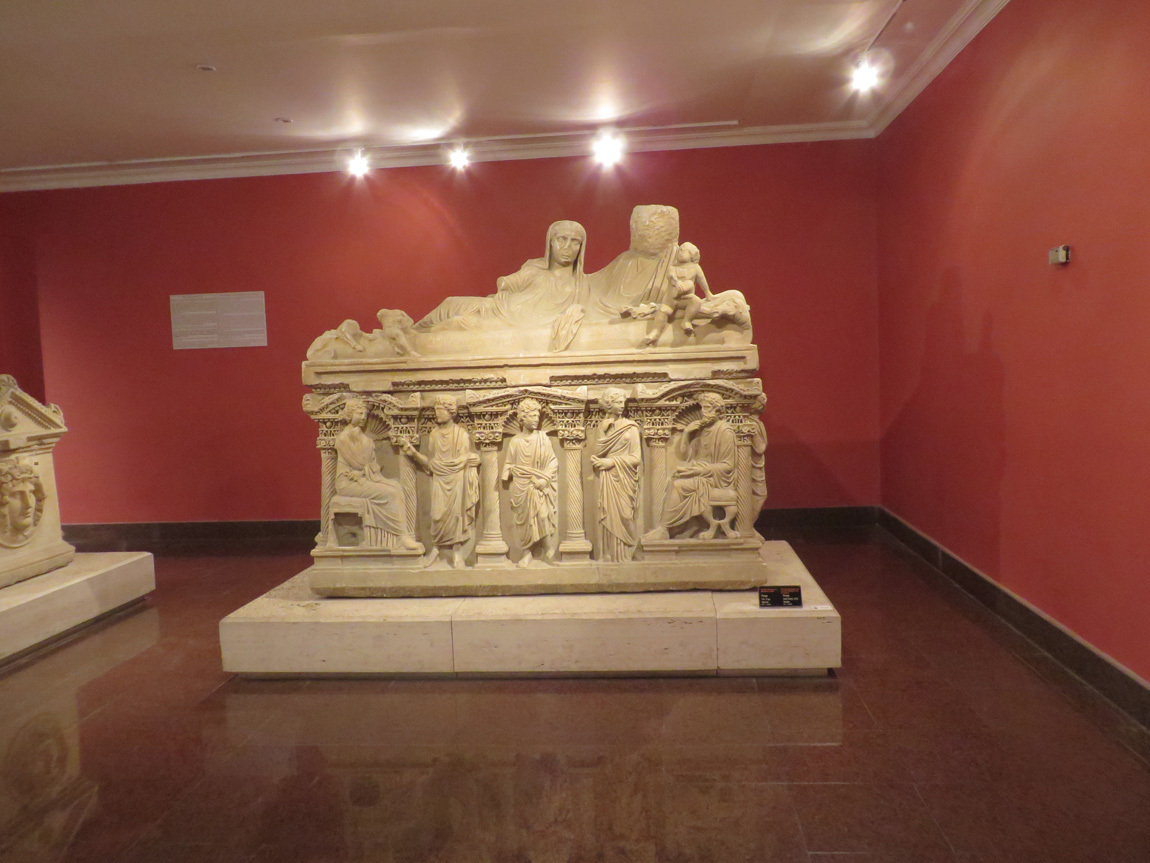
Coffins.

Antalya Museum

Antalya Museum

Heracles.

Antalya Museum

At one time, this statue was in a museum outside of Turkey. Below is the information on a sign next to the statue. (This time, I did not edit for grammatical errors.)

Herakles Comes Home

The statue of Herakles is the Roman period copy of original bronze statue "Herakles Farnese" which was made between 330-320 AD by Lysippos, one of most important personalities of world sculpture history. There are approximately 60 copies of aforesaid statue and can be seen in as many little bronzes. Sorrowful, introverted and pathetic expression of the statue is one of the main features of late classical - early Hellenistic period.

The upper part of the body and the head of the Statue is in a leaning position toward the front and right shoulder. The hair and the beard are thick and curly. His body has "s" shape due to his leaning upon the stick and with the fur of Nemea lion beneath his left arm. Body muscles especially in the chest and stomach are distincltly visible.

Professor Jale INAN, studied the world wide known replicas of Herakles Farnese, stated that this statue was superior to other replicas in terms of art quality. For this reason, she suggested that the statue to be called by the name of "Herakles Farnase of Perge". -Antalya Museum


Our hotel is the Rixos Antalya Downtown. Quite luxurious, to say the least. A couple outdoor swimming pools and lovely gardens. Grand lobby. Bowls of chocolates. (We scarf them up, we’ve been without sweets for too long.) Glass elevator. Great restaurants. We enjoyed a swim in the pretty pool, but sort of missed the warm sea swims off our gulet.

Dinner is on our own tonight. In the late afternoon we walked down a bunch of steps to the long beach. There is a walkway along the shore, with public beaches off to one side and little shops and restaurants to the other. So interesting to watch the people. We wandered for awhile, then found a beach bar and had Ezes.

Later yet we found a pizza place frequented by locals. The restaurant had tables set up in an area that looked more like someone's backyard than a restaurant. Parents watched their kids play on the swings and slides while they smoked and drank and talked with friends. The pizza was excellent. A small cat that was marked like Tori asked for a piece of my pizza. She had a malformed paw and daintily accepted just one piece of cheese and stopped begging.

Tomorrow is our last full day in Turkey. We make our way back up the long set of steps and stretch out in our big beds in the fancy Rixos hotel.

Navigation:
first Turkey post
next Turkey post

24 November 2013

June 15: Last night on the gulets

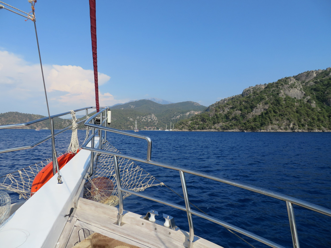
We had a long cruise to our night's mooring. I enjoyed the scenery, especially the way the land rises sharply in some areas. Hang gliders rose on the thermals. Turquoise waters, interesting rock formations.

On the way to our mooring near Fethiye.

gulet

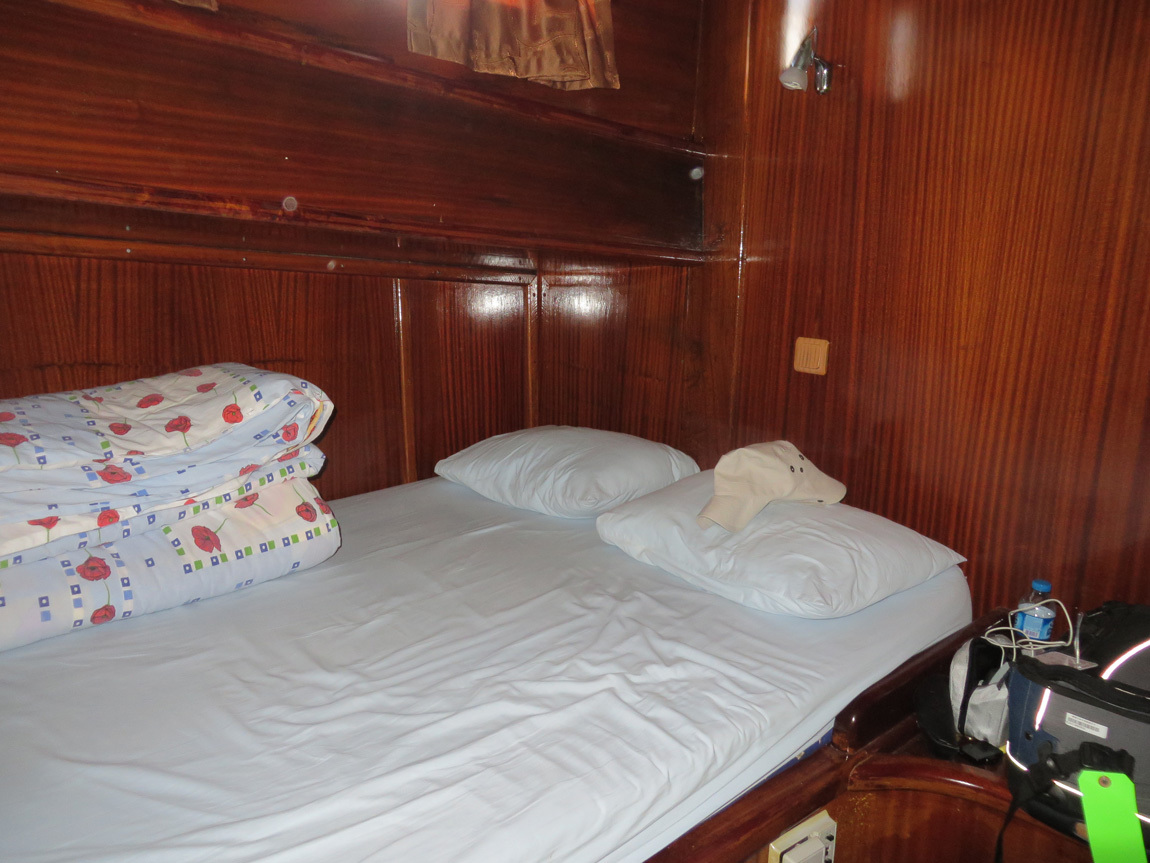
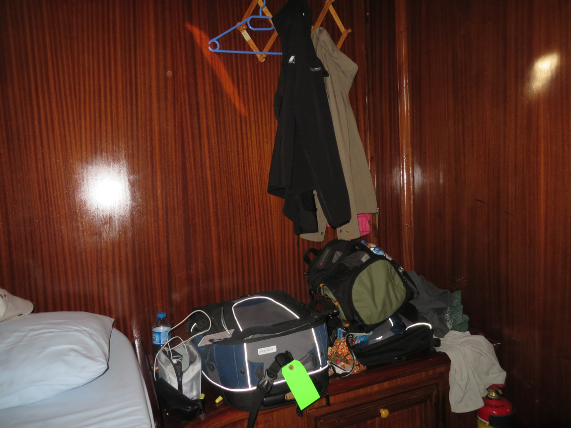
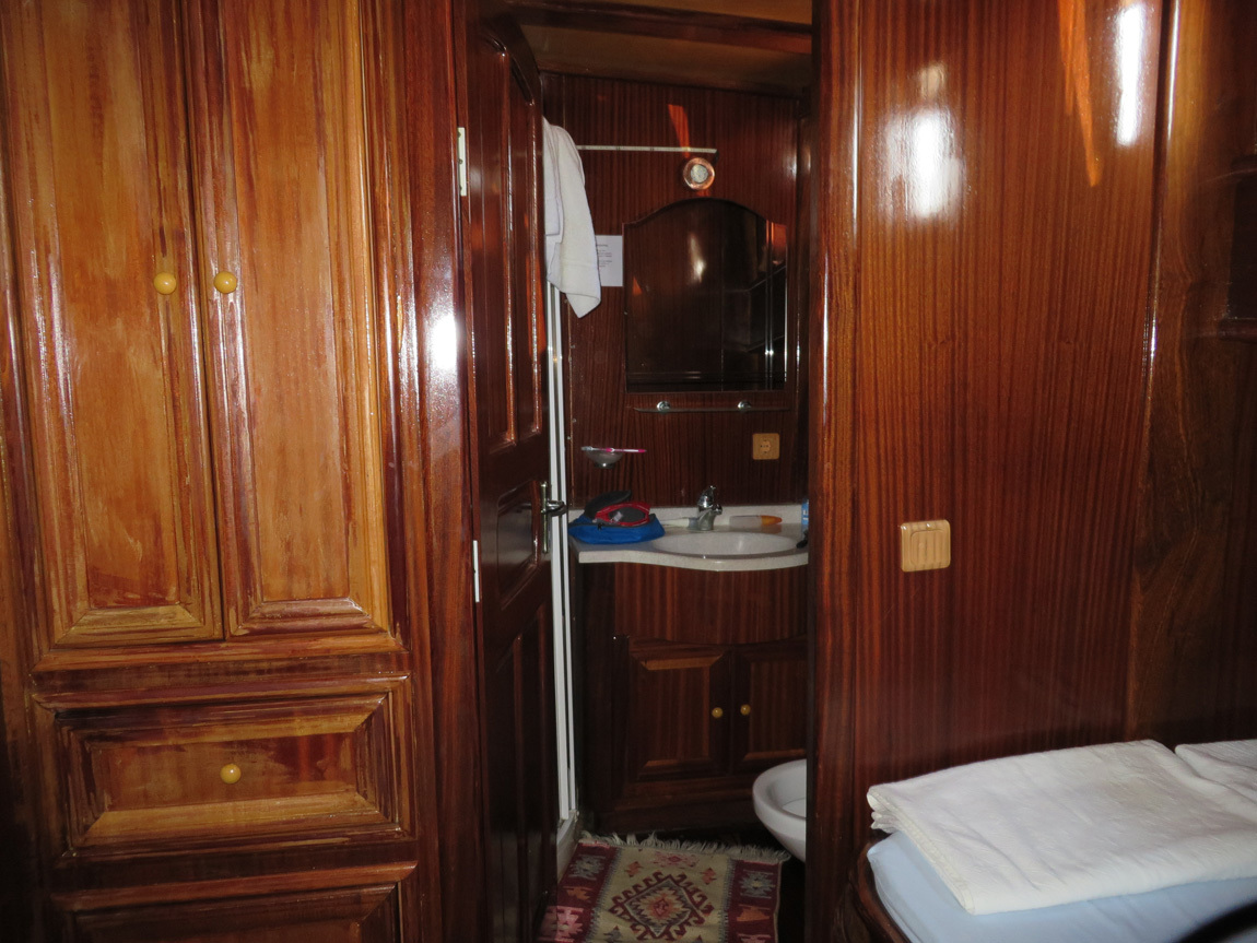
This is our last night on the gulet. I took a few photos of our room, to remember and to share.

gulet

gulet

gulet

One of our tour members had to go to the hospital, so we moored near a road, near Fethiye. The cove was less secluded than our other nights on the gulet. One boat full of Turkish partiers was pretty noisy late into the night. Still, we were able to sleep.

While we slept, the protests in Taksim Square erupted into violence. When we were able to access the internet on June 16, we saw photos of the Divan hotel that we had stayed in, with protesters inside the lobby suffering from tear gas and pepper spray laced water cannon blasts. Maybe some of the same friendly protesters we met just a week before.

World News - Tear gas fired inside hotel in Turkey protest crackdown. If you watch the video, you will see our Divan hotel lobby full of tear gas.

News article from CNN, June 15. You can scroll through the photos and see our hotel in a few.

Spiegel online.

Wikipedia.

Navigation:
first Turkey post
next Turkey post

23 November 2013

June 15: Ghost Town

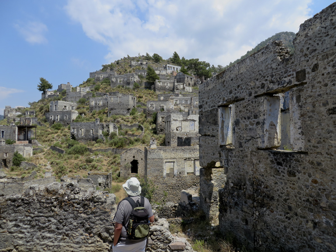
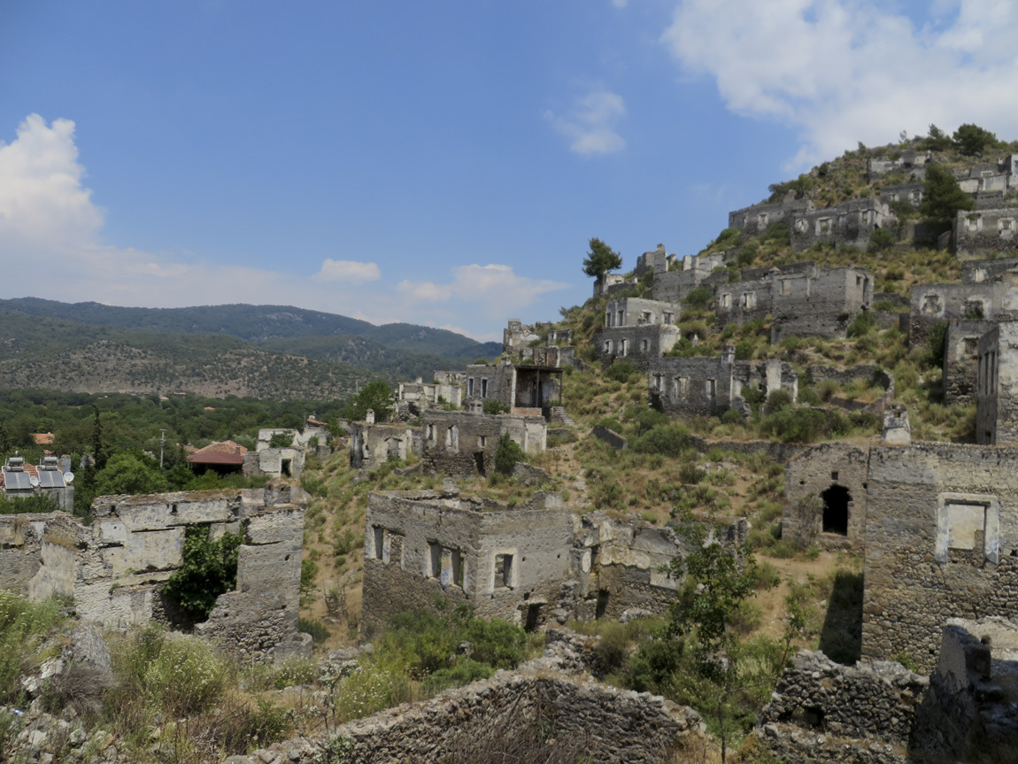
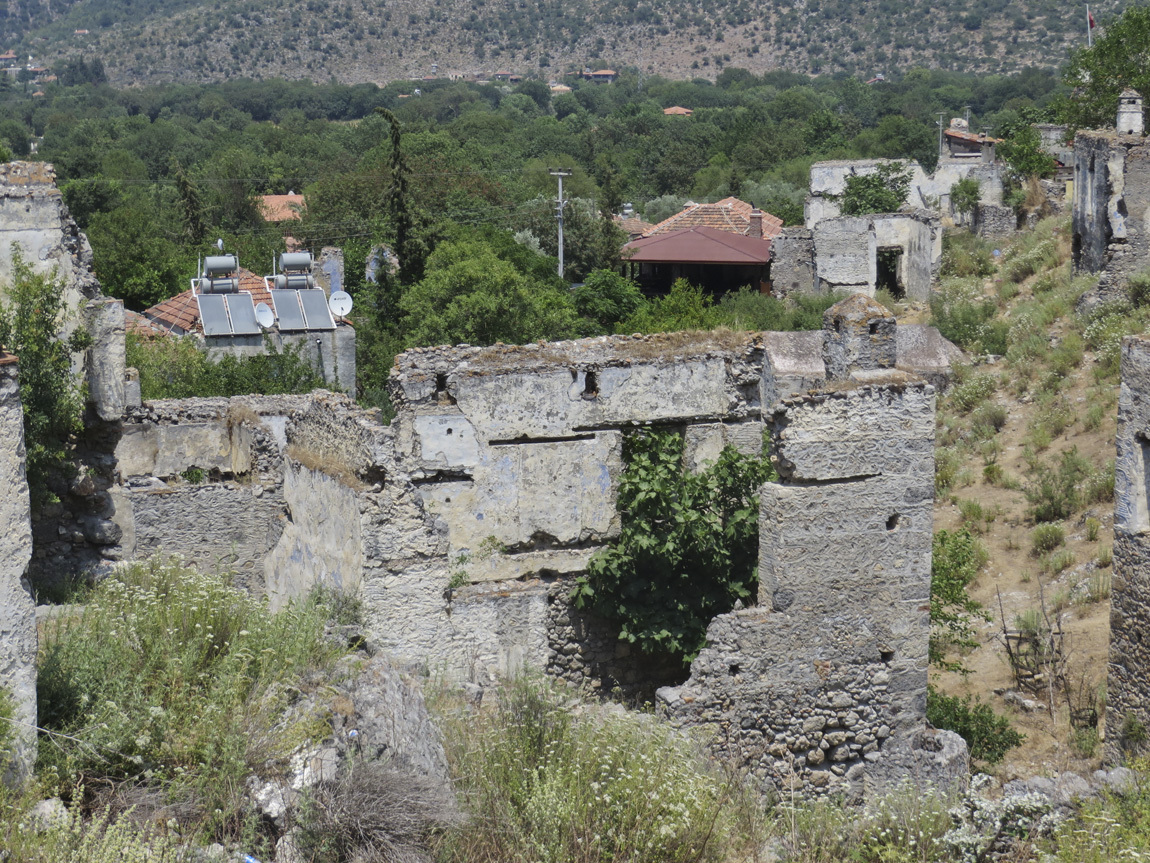
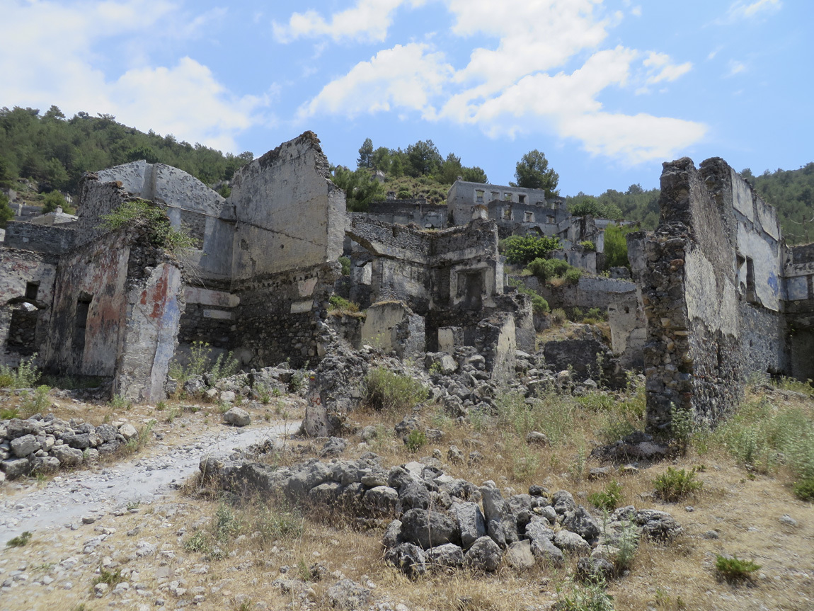
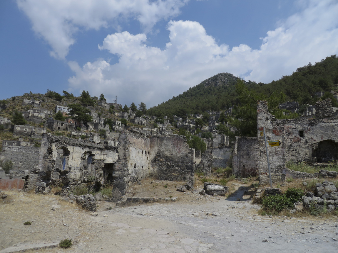
1923. Two thousand residents of the Greek Christian town of Kayakoy, Turkey, are forced to evacuate their homes and move to Greece. Turkish residents in Greece are forced to move to Turkey, but they do not move into Kayakoy. The old homes still lie abandoned, partially crumbled by the ravages of nature, including an earthquake in 1957.

Why did the Greek-Turk population exchange happen? The Greeks fought the Turks from 1919-1922, a war won by the Turks and that led to the establishment of the current Turkish democracy. A lot of people's lives were disrupted, and not just by the war itself. As part of the treaties signed in January 1923, the Convention Concerning the Exchange of Greek and Turkish Populations forced 1.5 million Greek Orthodox Christians to move to Greece and 500,000 Muslims to move to Turkey. This uneven exchange left towns like Kayakoy abandoned.

Today, an effort is being made to restore parts of Kayakoy, to preserve it as a museum. Tourism helps this effort, and I don't mind being part of the project. We get to wander the streets of this ghost town this afternoon and wonder about the strange side effects of war.

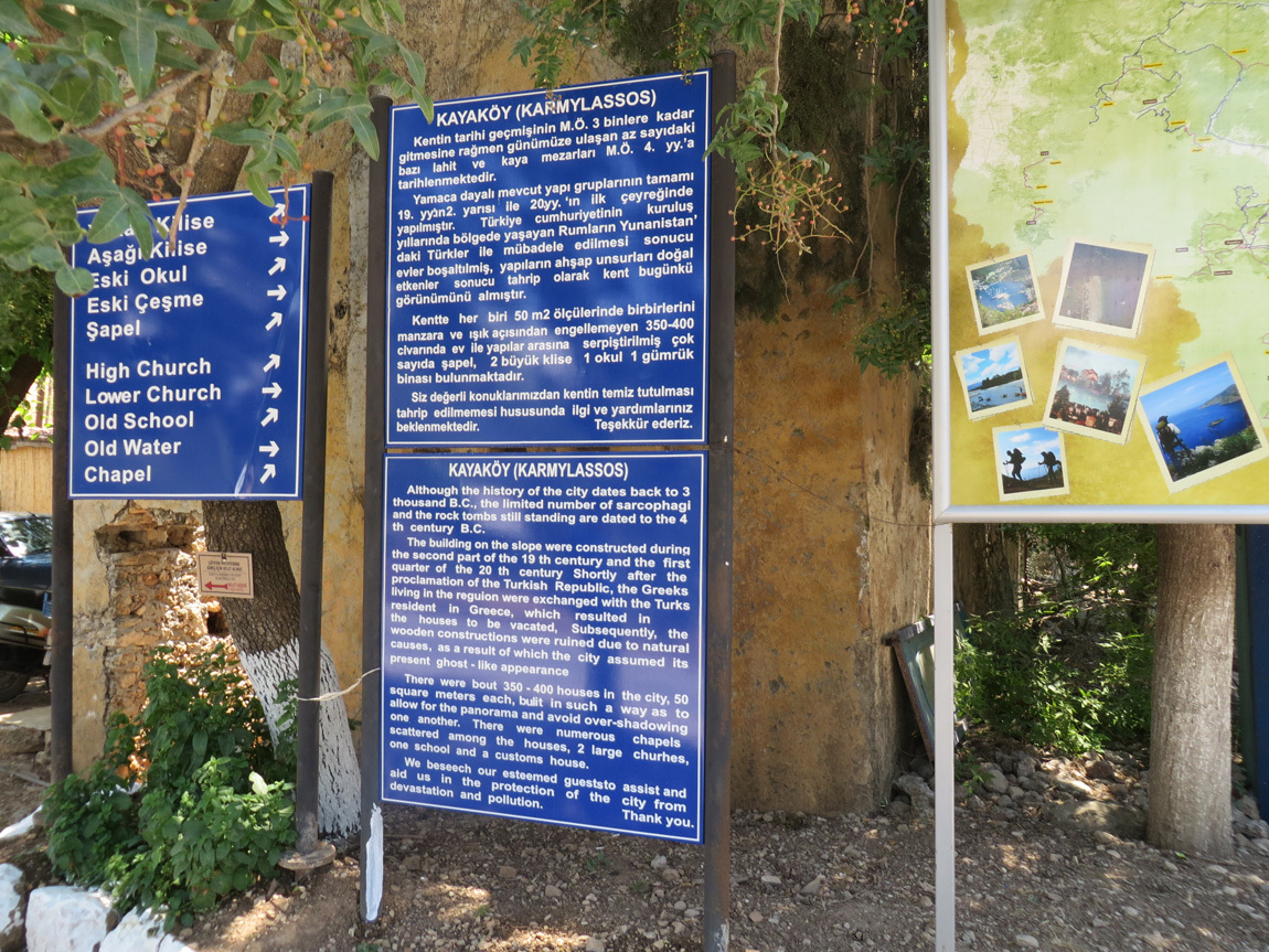
The gulet drops us at Fethiye and we take our bus a bit inland to the ghost town. Here is the sign at the entrance to the village:

Kayakoy

The sign reads (edited by me for grammatical errors):

Kayakoy (Karmylassos)

Although the history of the city dates back to 3 thousand B.C., the limited number of sarcophagi and the rock tombs still standing are dated to the 4th century B.C.

The buildings on the slope were constructed during the second part of the 19th century and the first quarter of the 20th century. Shortly after the proclamation of the Turkish Republic, the Greeks living in the region were exchanged with the Turks resident in Greece, which resulted in the houses to be vacated. Subsequently, the wooden constructions were ruined due to natural causes, as a result of which the city assumed its present ghost-like appearance.

There were about 350-400 houses in the city, 50 square meters each, built in such a way as to allow for the panorama and avoid over-shadowing one another. There were numerous chapels scattered among the houses, 3 large churches, one school and a customs house.

We beseech our esteemed guests to assist and aid us in the protection of the city from devastation and pollution.

Thank you.


Kayakoy

Kayakoy

This photo shows solar panels on top of one of the houses. A few people do live in the old homes.

Kayakoy

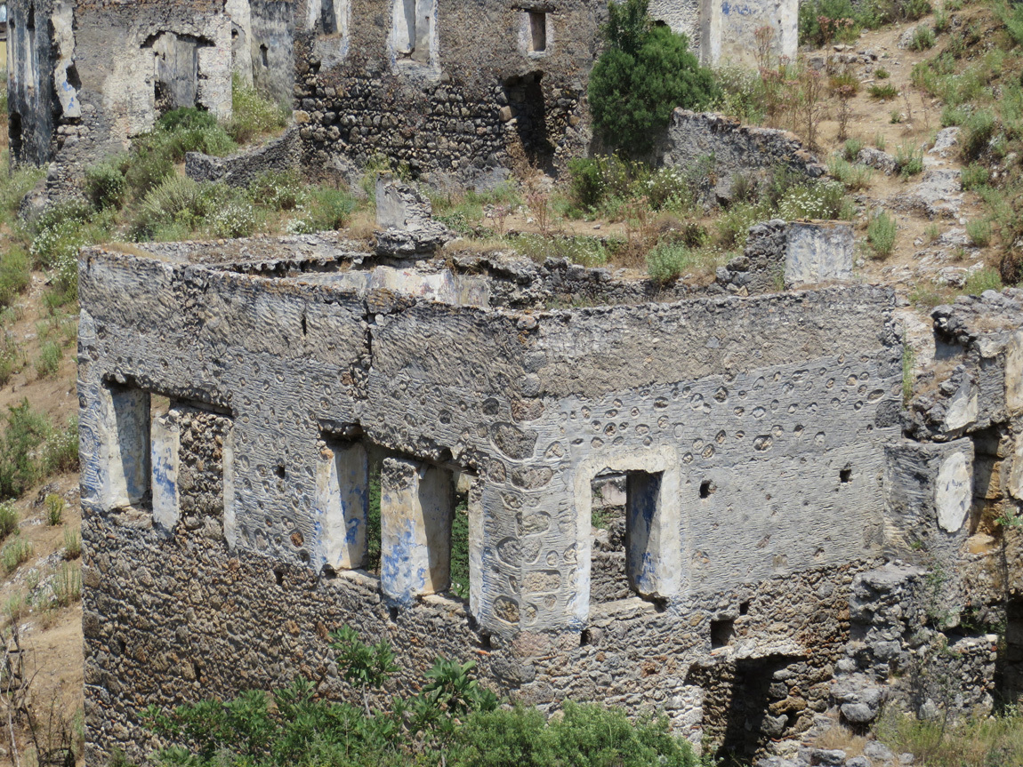
One of the homes.

Kayakoy

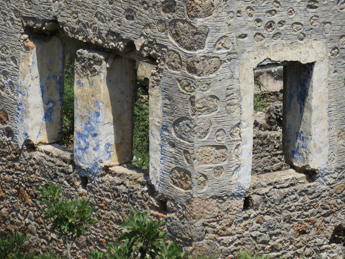
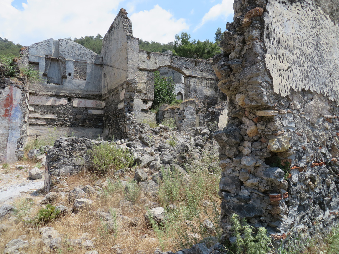
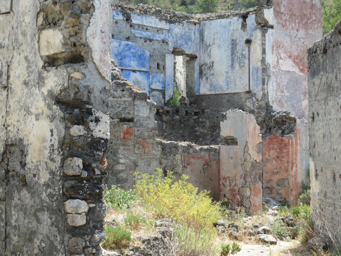
Look at the amazing details on this home, the faded blue fresco and the designs in the plaster.

Kayakoy

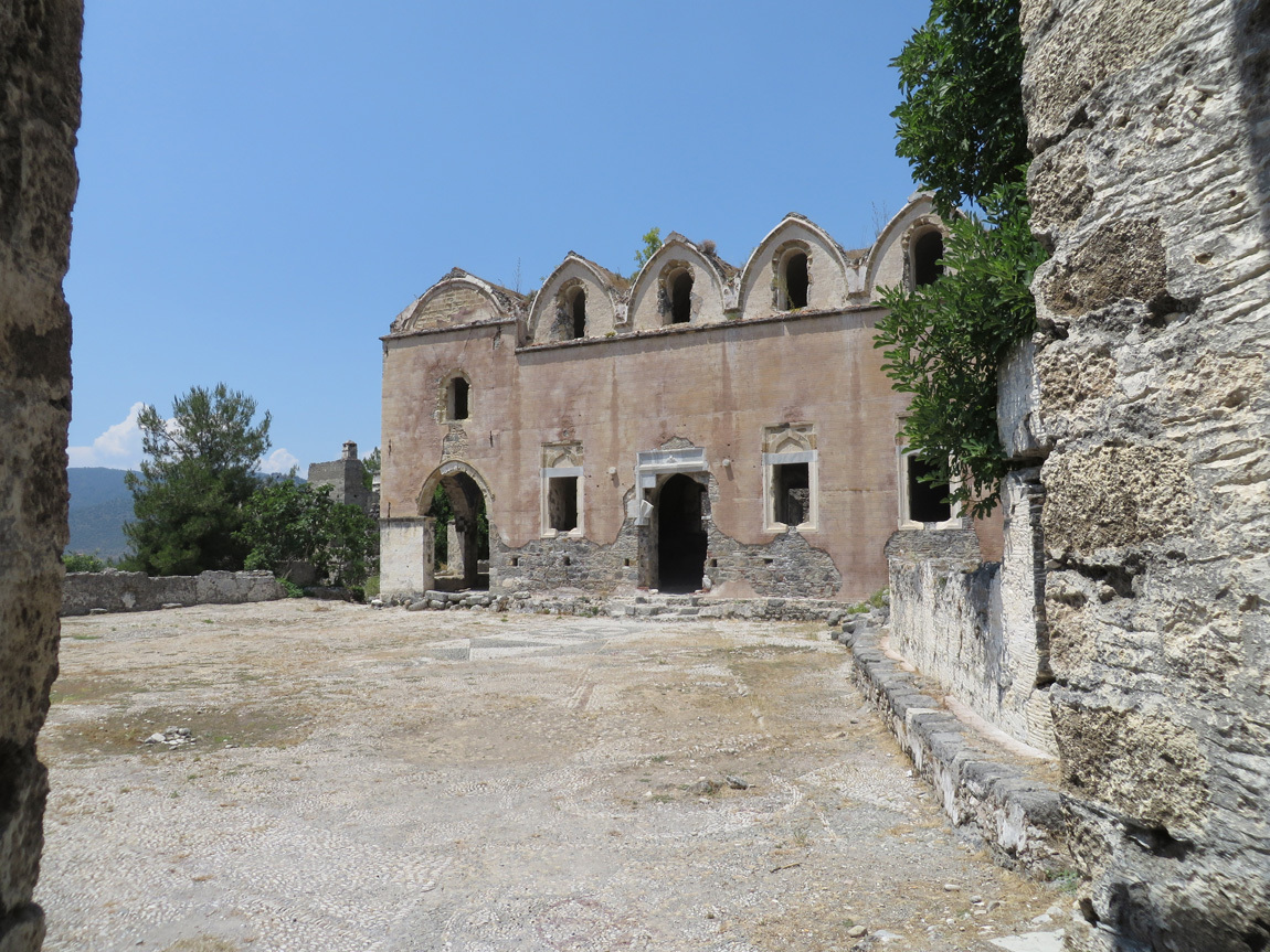
A church.

Kayakoy

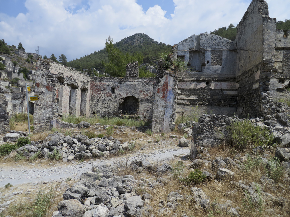
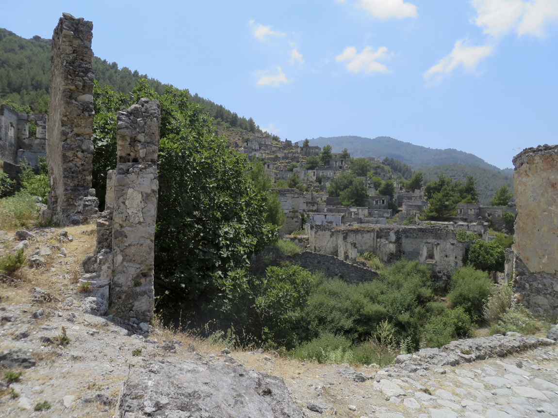
Ruins of homes.

Kayakoy

Kayakoy

Kayakoy

More views of the town. I couldn't get enough of these views.

Kayakoy

Kayakoy

This house shows what remains of blue and orange frescoes.

Kayakoy

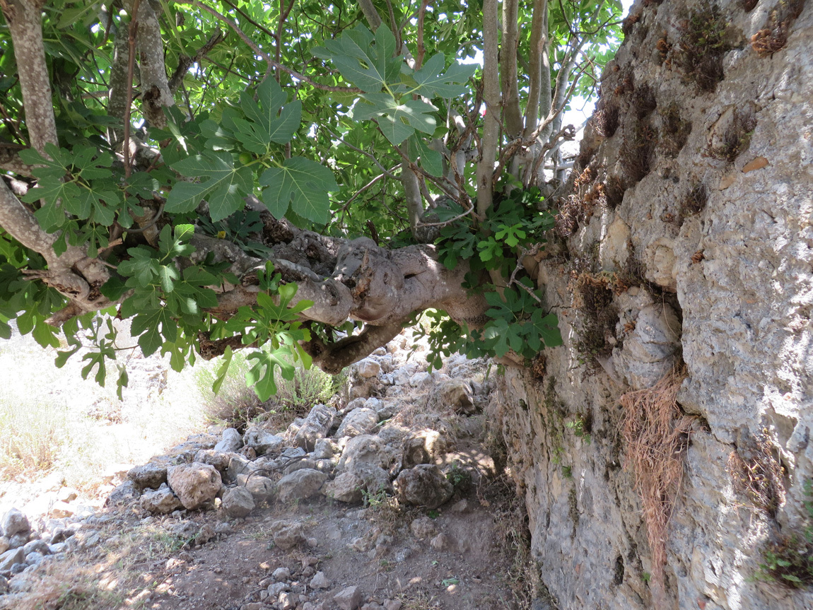
A tree growing right out of the stone wall of a house.

Kayakoy

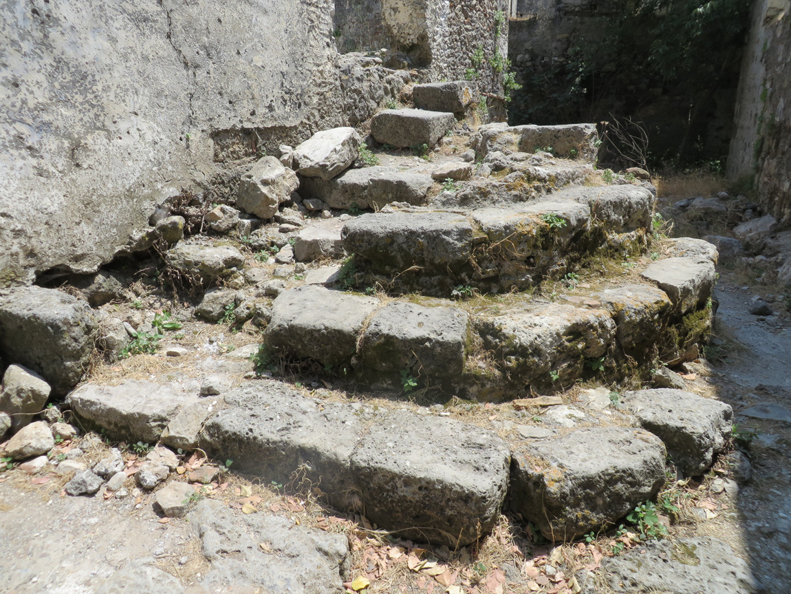
A hundred years ago, these steps felt the feet of a family walking in and out to the market, to visit friends, to share meals, to meet their lovers, to care for their aging parents.

Kayakoy

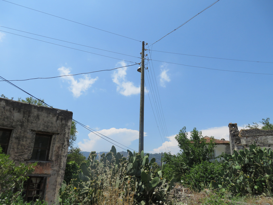
Power lines have come to this old village.

Kayakoy

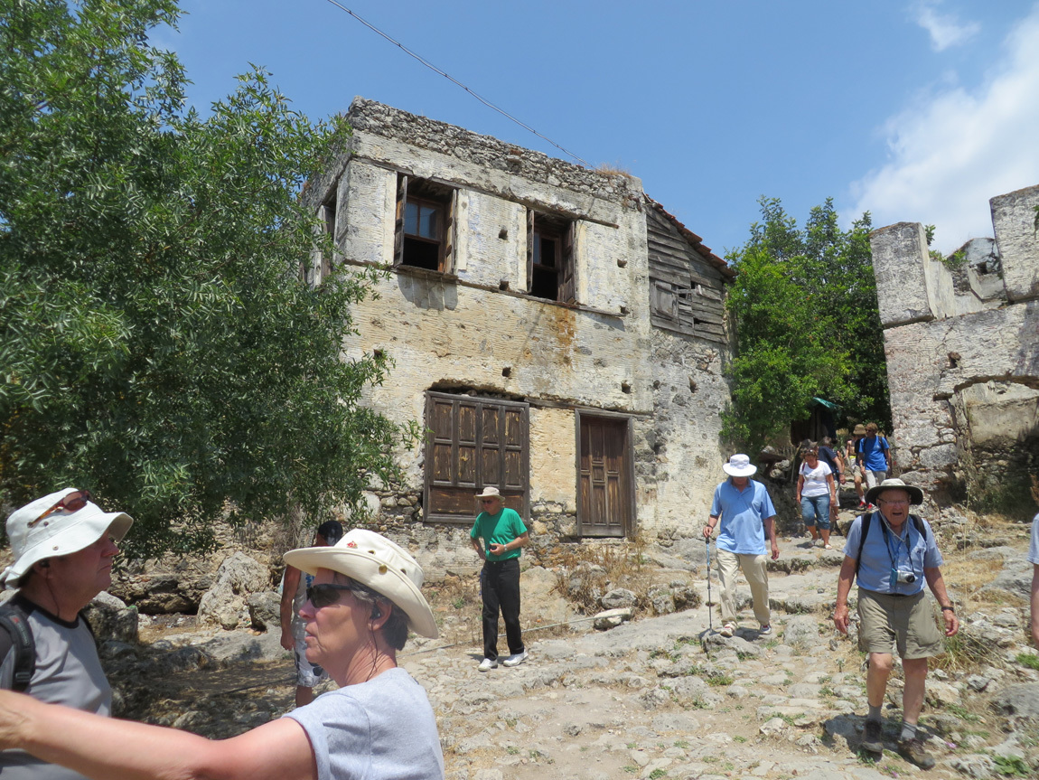
This is one of the houses that someone lives in.

Kayakoy

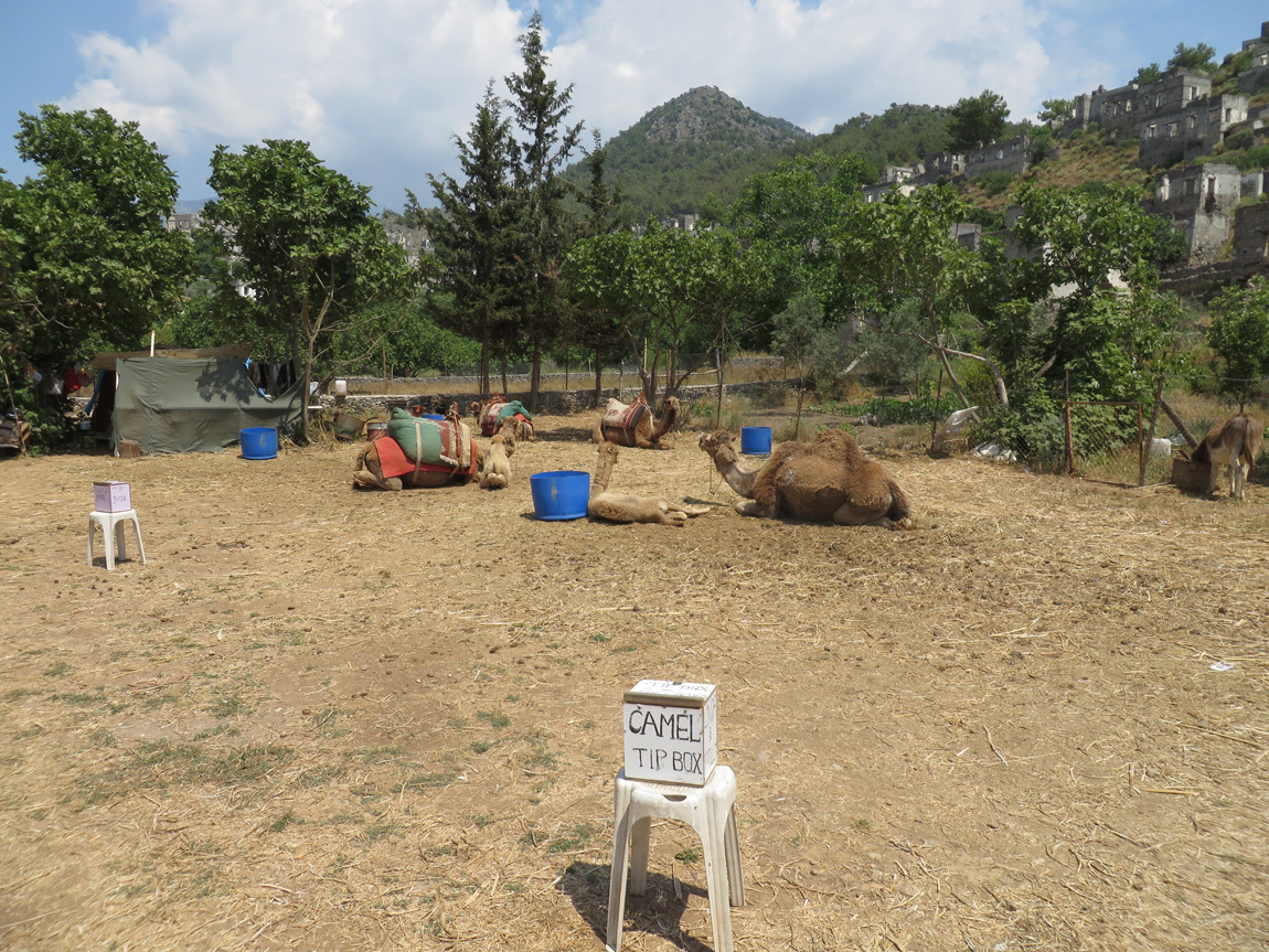
At the end of the tour through the village, a group of camels. Why? Don't know.

Kayakoy

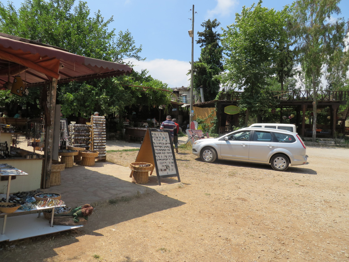
And the ever-present tourist shop.

Kayakoy

Close-up of some of the wares. Pretty and colorful.

Kayakoy

A few of our group hiked back down to the gulet, but we decided not to because we were told we had to wear long pants because of scratchy bushes. It was too dang hot for me to don long pants. So we walked back to the air-conditioned bus that took us to our gulet.

Navigation:
first Turkey post
next Turkey post
03 November 2013

The Little Thompson.

This page has a lot of photos and takes awhile to load. But that's what it is about. If you want to see a larger version of any photo, click on it.

Ten years, each morning spent walking my dog (or dogs) down by the river. That river is the Little Thompson - a small stream, really - just an eighth of a mile from my home. In winter we walk along the road, but in early spring, when mornings are light and rattlesnakes sleeping, we walk next to the river. Up along the grassy river bank, under the trees, then across the fire sub-station parking lot, and back home along the road. Each first springtime river-walk, I follow Lucy, as the path is not visible to my eyes, only her senses; after a few days, the two of us make a clear footpath, winding through the weeds, trees, and rocks. Past tracks of animals, startled deer, squawking magpies. Perhaps not picturesque, but wild and “ours”.

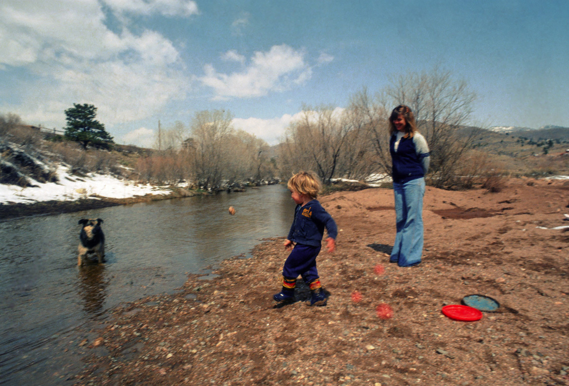
Back-up thirty years to when we moved here in 1981. There weren’t many homes back here in the X Bar Seven, and my cats used to follow me down to the river - there was that little car traffic. It was a great place to take a toddler and our frisbee-fetching water-loving dog named Rocky.

Jamey and Rocky and me

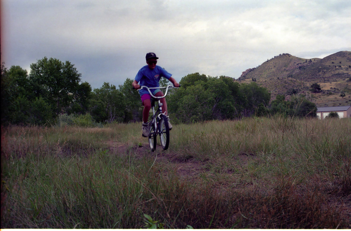
In the 1980s we were among a lot of young families in the X Bar Seven. My son jumped on his BMX to zoom to the river area; my daughter slung her ice skates over her shoulder and made a path through the snow to glide on the frozen pools. Summers it was swimsuits and rafts. There used to be a beaver dam down there. Sometimes neighbors would gather at the area under a big tree near the pools - before the fire station was built - and party. One day lightning hit the big tree. Scary, since a few people were pretty close. The blackened skeleton stood for years.

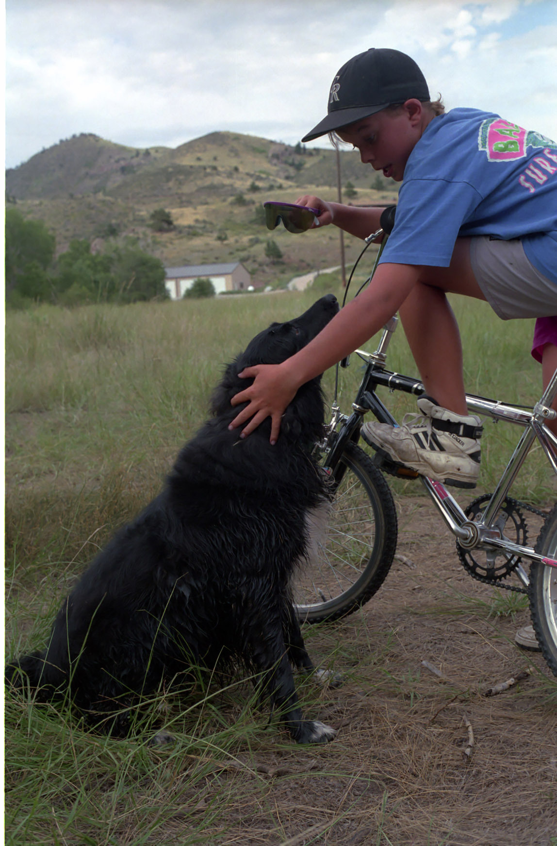
Here is Jamey and our dog Peppy down by the river.

Jamey

Jamey and Peppy

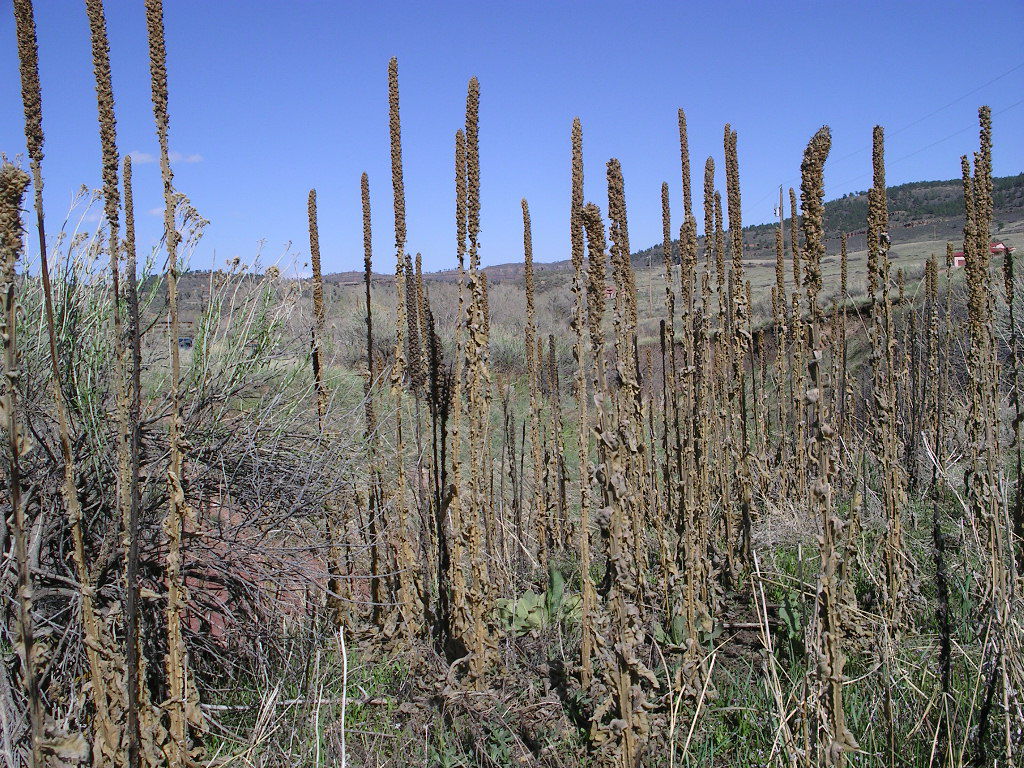
One spring in the 1990s the Little Thompson flooded and a lot of debris (including a canoe) caught in the old culvert-bridge system took out the road. They built a strong new bridge and a spillway past it. After the 1990s flood a new type of plant took over much of the area. I call them “squishy bushes” because they start as soft, pretty plants. They end up as dried up ugly stalks. (Their real name is common mullein.)

old squishy bushes

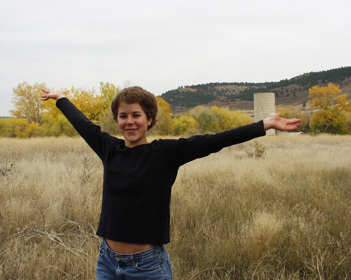
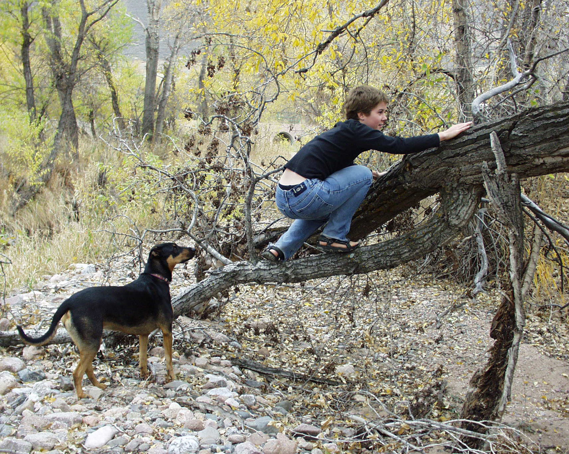
Tammy liked the area so much that we took her graduation photo there. Here she is by herself and with Lucy when Lucy was young.

Tammy

Tammy

In about 2000 I began my years of morning dog walks. Each morning I would stop, live in the moment, and realize how special it is out here.

Funny, I never thought to take photos specifically of the Little Thompson. It just was.

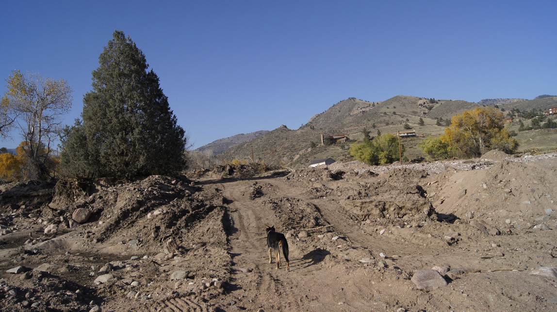
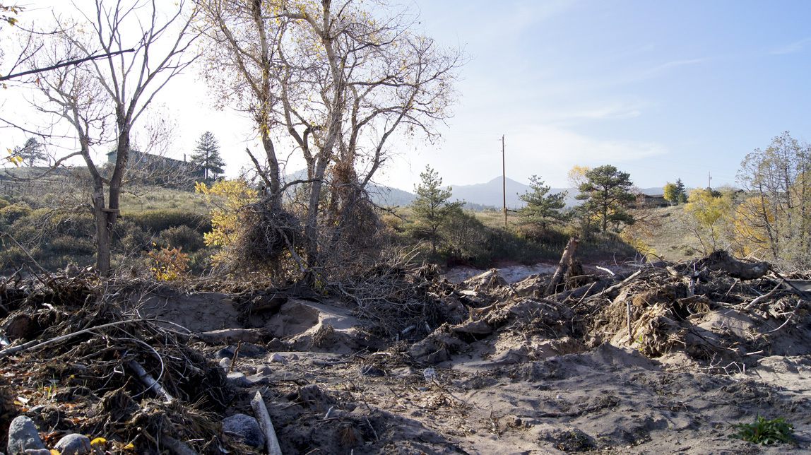
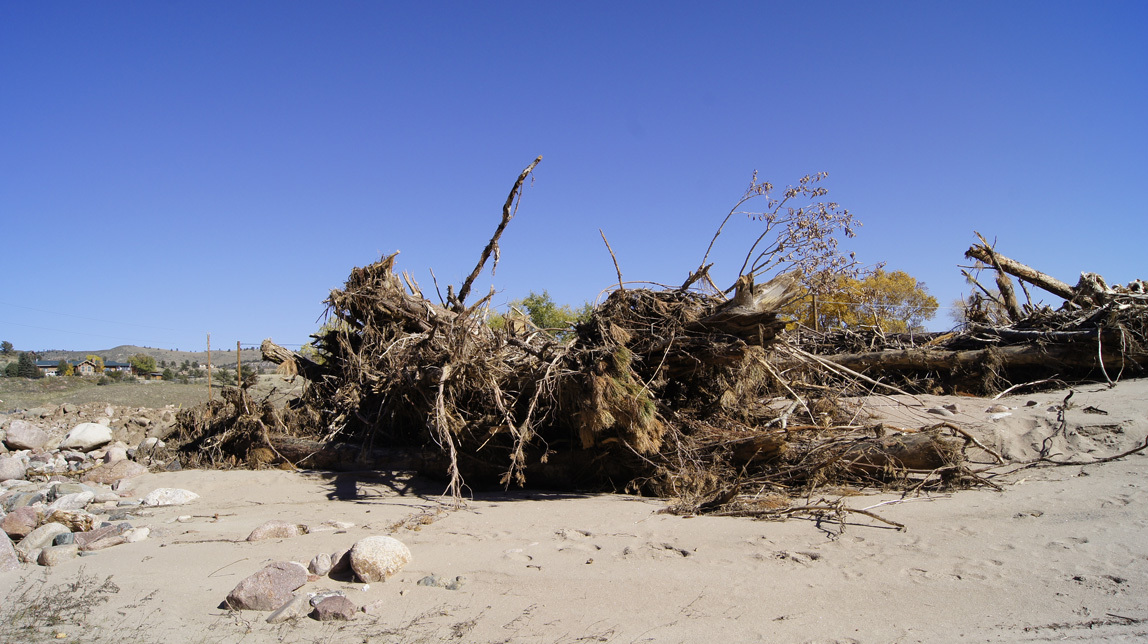
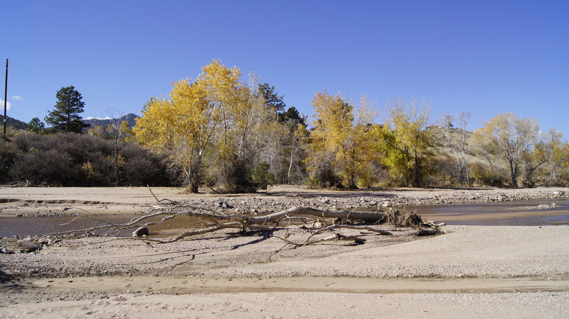
So . . . why am I waxing nostalgic? Why did I take all the photos below? Because of the Lyons floods in September 2013. The area has totally changed. One intent of his blog is to show my daughter who is living in Africa what our old playground now looks like.

Here goes. How it looks now.

Walking down the hill.

walking down the hill

Below is the bridge built during the 1990s flood, intact, with the mostly-intact concrete spillway past it. Then past the spillway is the new roadway, made by piling quarry rocks above three long culverts. That was done while the river was still running like crazy on the Sunday after the flood.

new roadway

To the left of the bridge is the debris that they pulled from the bridge. During the flood, it was totally clogged and running both over the bridge and from there all the way to the fire station. The swiftest and most destructive water flowed just past the old spillway.
debris from under the bridge

What you are seeing in the photo below is the repaired road (hopefully it will be fixed better later). When the river was still running fast, they pulled in the heavy equipment and scooped up rocks to re-channel the river. As the machines worked, Search and Rescue and National Guard forces stood at intervals along the rushing river, ready to act to rescue people if one of the machines fell over in the current. Then they dropped in long culverts and piled up slash sandstone rocks from the quarry. That was covered with smaller chunks.

new roadway

Drivers still have to go very slowly over those rocks. I can make it over with my mountain bike if I keep my wits about me. Lucy crosses them very slowly.

new roadway

This old pine tree remains. I used to walk to the left of it; to the right was just a flat field filled with grasses and flowers and common mulleins. The big FEMA trucks went up this way and then over to the shallower area in front of the fire station to evacuate the stranded people that live the other side of the Little Thompson. Chinooks also landed in the field to evacuate people that wanted to leave. Most residents stayed and waited for the road to be fixed.
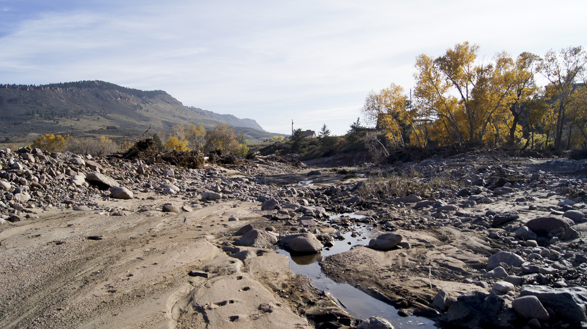
FEMA truckway

Big piles of debris.

debris

debris

debris

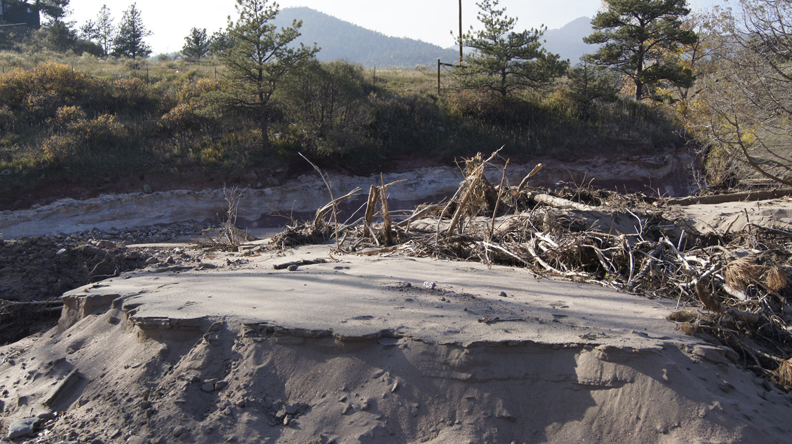
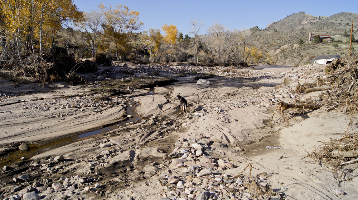
We now have sand-mesas.

sand mesas

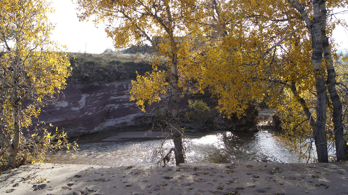
The old swimming hole and skating pond. A lot of it is now filled in with sand.

swimming hole

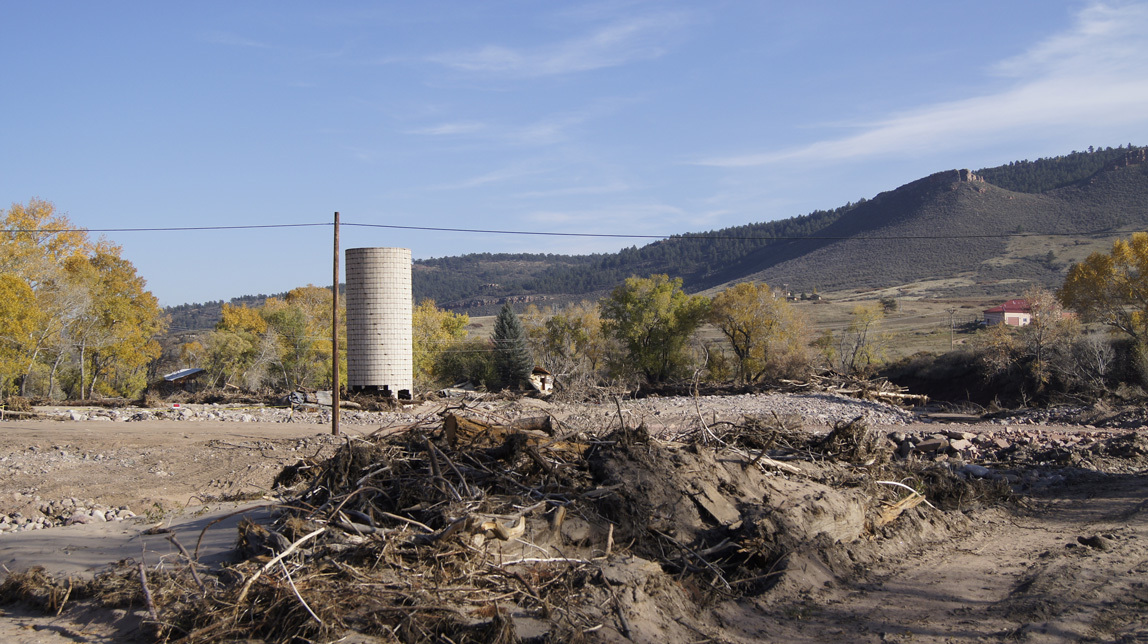
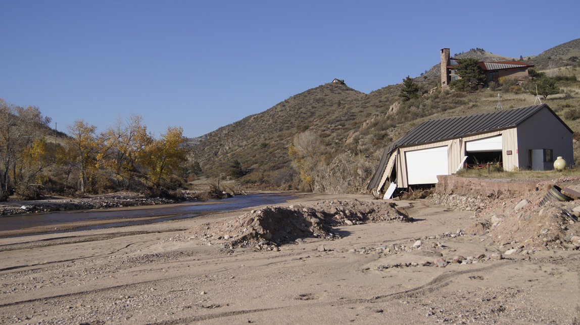
The old silo is missing most of the lower bricks. It will probably have to come down. In the distance is the remaining half of what we always call the “Brownings” house (the original X Bar Seven homestead). I have closer photos, but I am not going to share them. It is too private, and not my story to tell.
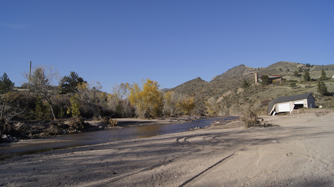
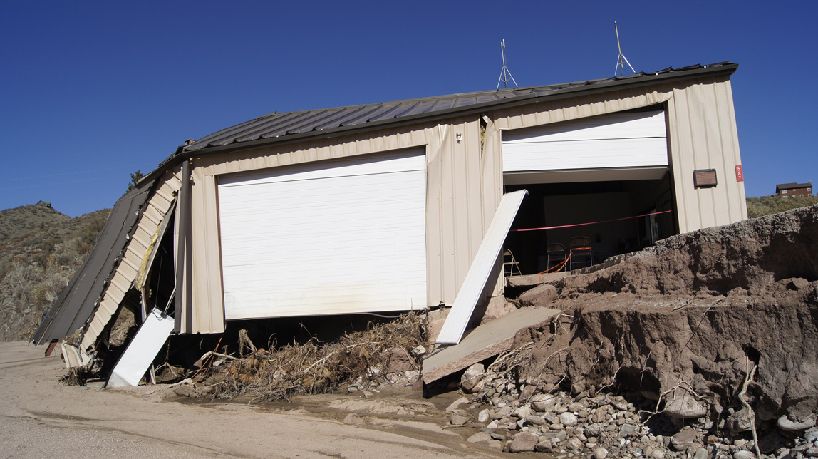
silo

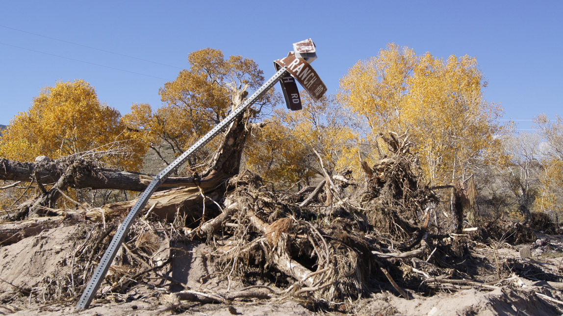
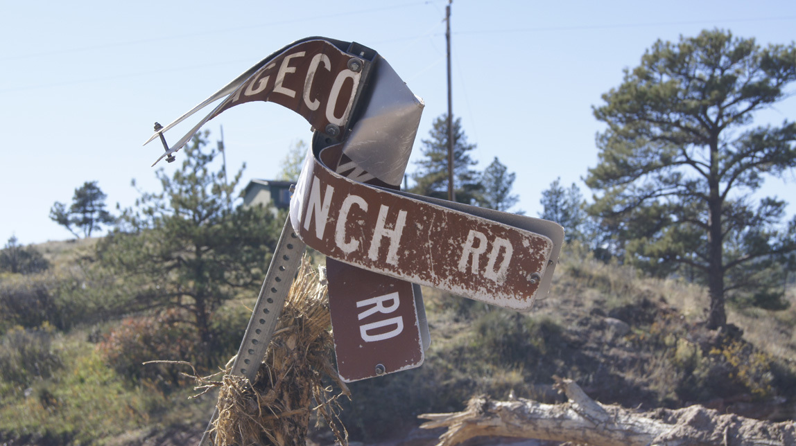
A street sign? Well yes, but it used to be several miles up the Little Thompson. It says “Stagecoach Trail” and “Pinwheel Ranch Road”.

sign

sign

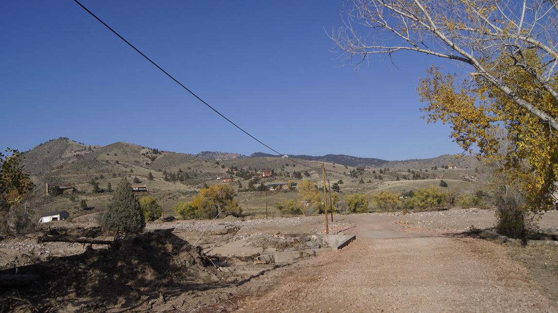
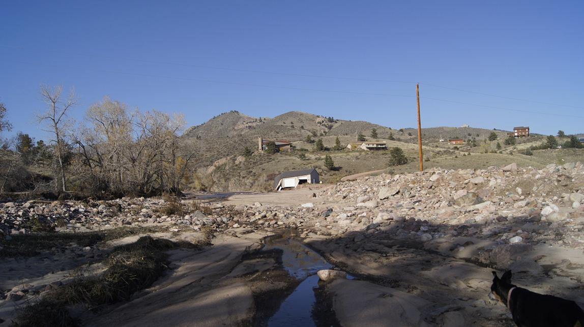
Continuing our walk, this is the view up towards the fire station. All of the river is now pretty much where it was pre-flood, but during the flood, one of the three swift channels ran along here.

view to fire station

And here in the distance is the fire sub-station.

fire station

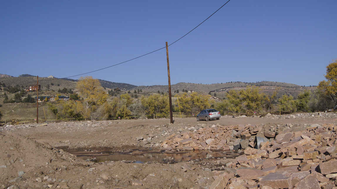
I turn around and take a photo of the way we came. Note the piles of river rocks. I was told that these rocks have been buried for about twenty thousand years. They are ancient rocks, seeing the light of day for the first time in ages. We have also heard that there might be gold in the rocks washed down from the Colorado Rockies.

piles of ancient rocks

Fire station, closer. This big stretch of sandy area is soft on an old dog's feet.

fire station

fire station

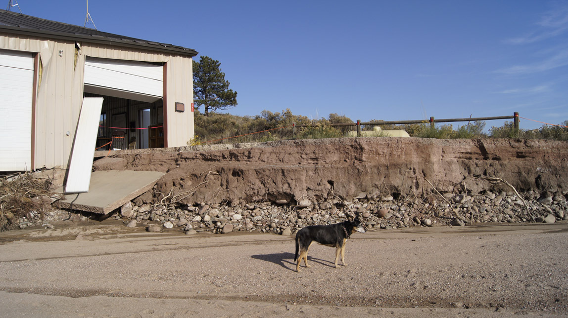
This shows clearly how deep the river was during the flood.

how deep it was

This is where the fire station parking area was. See the red barn/shed? Just beyond it is where the Chinook helicopters landed.

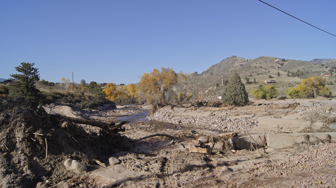
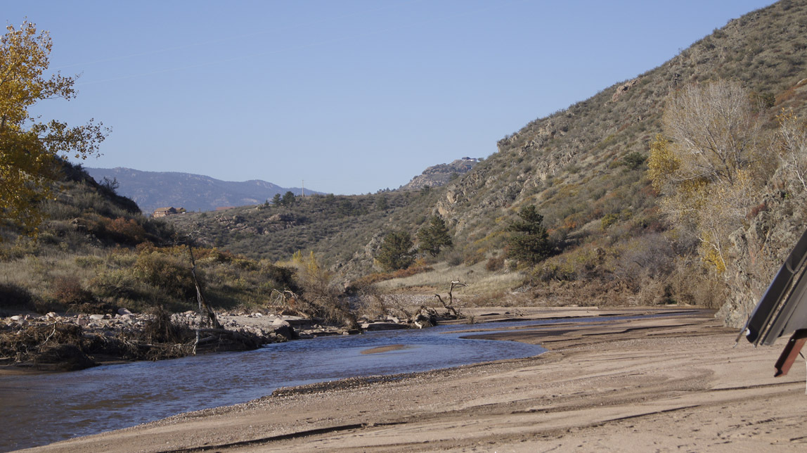
Looking up the Little Thompson from the fire station area.

Little Thompson

Little Thompson

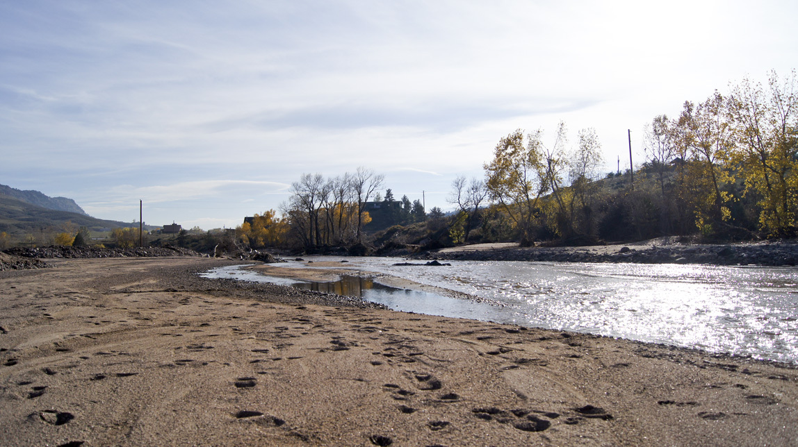
Looking back the way we came.

Little Thompson

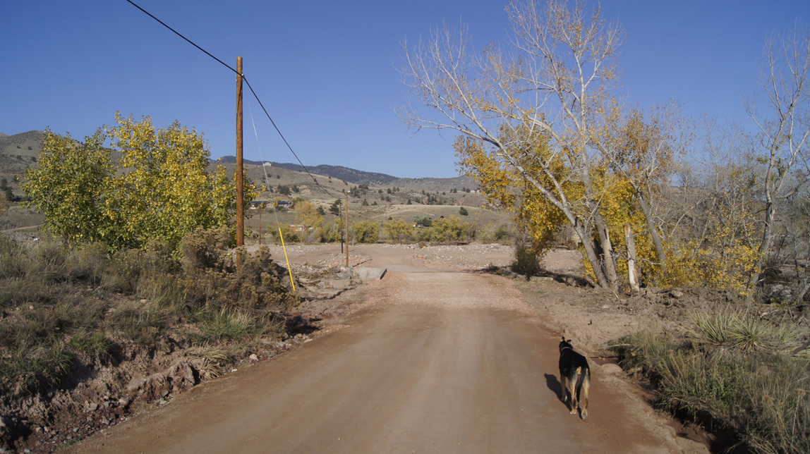
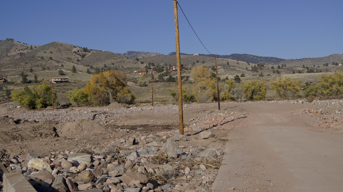
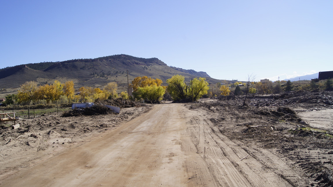
This is the view down the road coming back home from the fire station.

new roadway

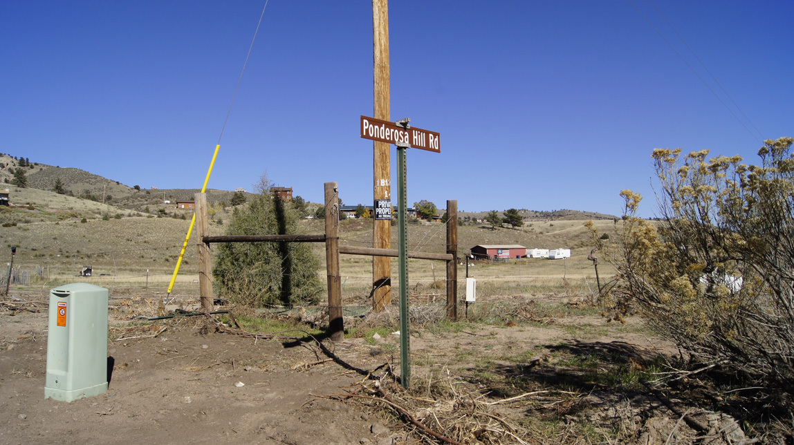
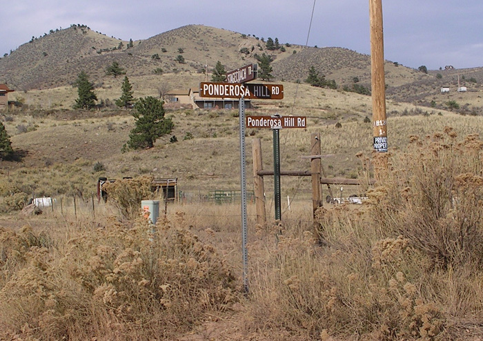
This is the sign for the junction of Ponderosa Hill Road and Stagecoach Trail. This was under water during the worst of the flood.

sign

And it means that one of our road signs is now somewhere downriver, because this is what it looked like in 2007:

many signs

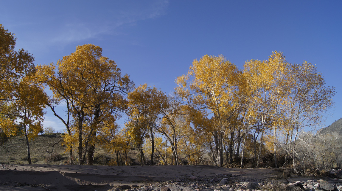
The fall trees still blaze against the sky.

blazing trees

The whole area still has beauty, it’s just different than it was before. Each morning I stop, live in the moment, and realize how amazing the world is.


First Lyons flood entry